Globe on student desk vintage
1344×768 · AVIF · CC BY 4.0
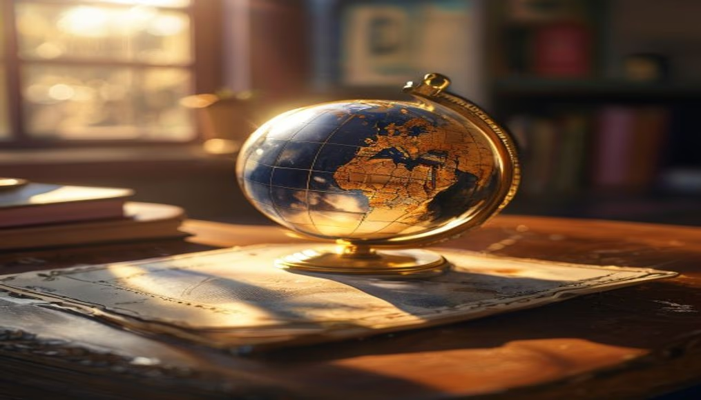
Vintage globe on a student desk, a symbol of knowledge and geographic exploration in the classroom.
About this subject
The terrestrial globe, since the 16th century, has been an essential tool for teaching geography and cartography. It represents the Earth in reduced scale, allowing visualization of continents, oceans, and countries in three dimensions. In the school context, especially in 20th-century classrooms, the vintage globe was a common item on a student's desk, aiding in learning about borders, time zones, and navigation routes.
These globes were often made with turned wooden bases and spheres of cardboard or plastic covered with colored maps. Brands like Replogle and Cram became references in educational globe production in the United States and Europe. From the 1960s onward, with the Cold War and the space race, globes gained prominence as symbols of internationalization and curiosity about the world.
Today, vintage globes are collector's items and nostalgic decor pieces. They represent an era when physical cartography was the primary means of geographic understanding, before the popularization of digital maps and Google Earth. Their presence on a student desk evokes the tradition of hands-on learning and geography's importance in forming global citizens.
Frequently Asked Questions
What is the difference between a terrestrial globe and a world map?
A terrestrial globe is a three-dimensional representation of Earth, preserving the true proportions of areas and distances. A world map is a two-dimensional projection, which inevitably distorts shapes and sizes.
How can I tell if a globe is vintage?
Vintage globes often have dark wooden bases, metal or aged plastic, and the map may show historical borders (such as the Soviet Union or Yugoslavia). Brands like Replogle or Cram are indicative.
Why is the terrestrial globe important in education?
The globe helps students understand concepts like latitude, longitude, time zones, and the relationship between continents in an intuitive and interactive way, complementing flat maps.
Direct URL
https://pub-c7d6a6ea828543ac903a74a341ccb2e1.r2.dev/imagens/globe-on-student-desk-vintage-travel-photography-v10.avifHow to credit
Include a visible link back to UtilizAí. Copy one of the snippets below:
<a href="https://xn--utiliza-eza.com/en/midia/imagens/globe-on-student-desk-vintage-travel-photography-v10">Globe on student desk vintage</a> by <a href="https://xn--utiliza-eza.com">UtilizAí</a>, licensed under <a href="https://creativecommons.org/licenses/by/4.0/">CC BY 4.0</a>.
[Globe on student desk vintage](https://xn--utiliza-eza.com/en/midia/imagens/globe-on-student-desk-vintage-travel-photography-v10) by [UtilizAí](https://xn--utiliza-eza.com), CC BY 4.0
License: CC-BY-4.0