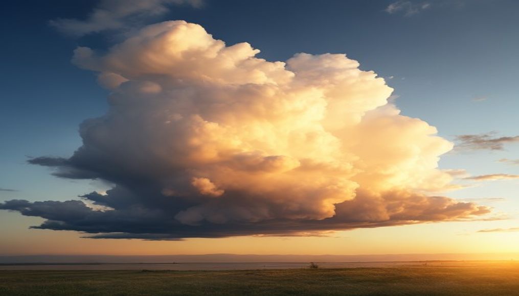
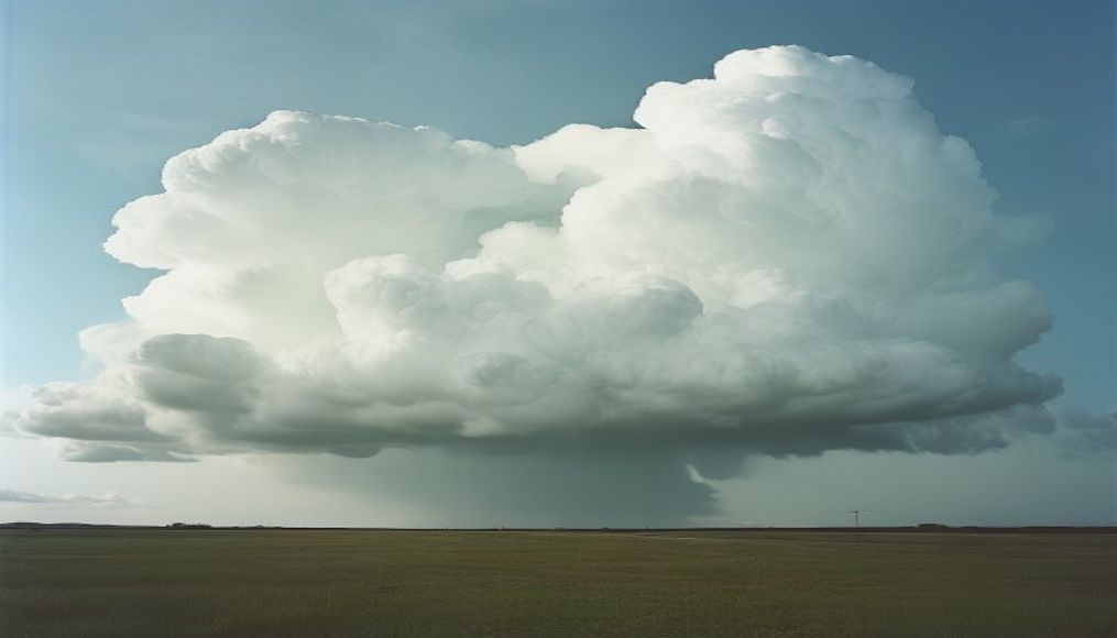
Thunderstorm cloud anvil
1344×768 · AVIF · CC BY 4.0
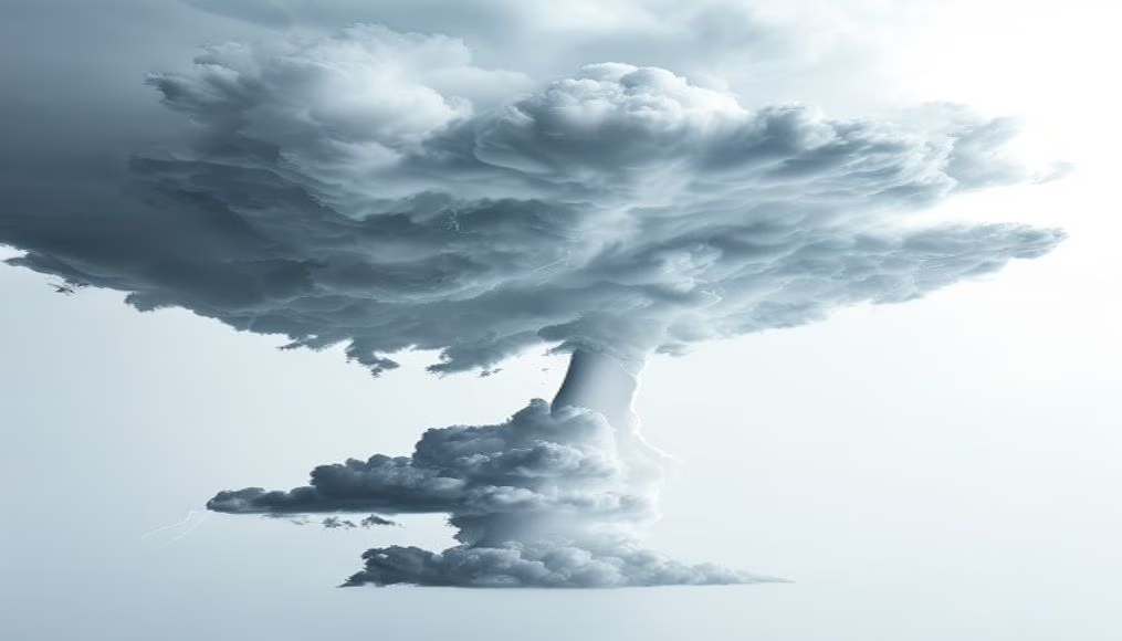
The anvil of a thunderstorm cloud is the flattened upper part of a cumulonimbus, signaling severe storms capable of producing hail and tornadoes.
About this subject
The anvil of a thunderstorm cloud, technically called cumulonimbus incus, is a striking feature of severe thunderstorms. It forms when the storm's updraft reaches the tropopause, the boundary between the troposphere and stratosphere. Because the air there is stable and warmer, the cloud cannot rise further and spreads horizontally into an anvil shape. This flattened top can extend for hundreds of kilometers and often shows ridges or ripples caused by high-altitude winds, such as the jet stream.
Such systems are associated with extreme weather events. A well-developed anvil indicates strong updrafts and subsidence on the rear flank, which can generate dangerous downbursts. In addition, a prominent anvil is common in supercells, rotating thunderstorms capable of producing violent tornadoes and large hail. The parent cumulonimbus cloud can reach heights of 15 to 20 kilometers, with the anvil typically around 12 kilometers high, depending on latitude and season.
While the anvil itself poses no direct danger, it is a crucial visual indicator for meteorologists and storm chasers. The shape and texture of the anvil help estimate the storm's intensity and destructive potential. For example, fibrous anvils or those with mammatus lobes indicate strong turbulence and possible tornado formation. In Brazil, anvil-topped thunderstorms are common in summer, especially in the South and Southeast regions, where the interaction of warm, humid air with cold fronts triggers deep convective systems.
Frequently Asked Questions
What is a thunderstorm cloud anvil?
An anvil is the flattened upper part of a cumulonimbus cloud, formed when the updraft hits the tropopause and spreads horizontally. It signals strong storms capable of producing hail, severe winds, and tornadoes.
Why is the anvil of a thunderstorm flat?
The anvil is flat because stable air at the tropopause prevents further rise. Moisture condenses and the cloud spreads laterally, creating a flat, anvil-like shape. High-altitude winds also enhance the spread.
What is the typical altitude of a thunderstorm anvil?
Anvils typically form between 10 and 15 km above ground, but the cloud base sits at 1-2 km. In the tropics, the top can reach 20 km, with the anvil about 2-3 km below the top.
Direct URL
https://pub-c7d6a6ea828543ac903a74a341ccb2e1.r2.dev/imagens/thunderstorm-cloud-anvil-commercial-product-photography-p1.avifHow to credit
Include a visible link back to UtilizAí. Copy one of the snippets below:
<a href="https://xn--utiliza-eza.com/en/midia/imagens/thunderstorm-cloud-anvil-commercial-product-photography-p1">Thunderstorm cloud anvil</a> by <a href="https://xn--utiliza-eza.com">UtilizAí</a>, licensed under <a href="https://creativecommons.org/licenses/by/4.0/">CC BY 4.0</a>.
[Thunderstorm cloud anvil](https://xn--utiliza-eza.com/en/midia/imagens/thunderstorm-cloud-anvil-commercial-product-photography-p1) by [UtilizAí](https://xn--utiliza-eza.com), CC BY 4.0
License: CC-BY-4.0