Mammatus cloud bottoms
1344×768 · JPG · CC BY 4.0
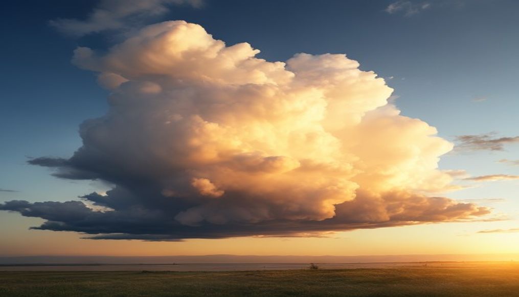
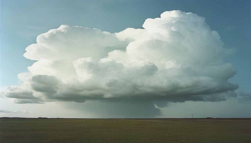
Mammatus clouds, with their distinctive pouch-like protrusions, are rare and striking formations that signal severe storms and intense turbulence.
About this subject
Mammatus clouds are a meteorological phenomenon characterized by pouch-like protrusions hanging beneath the base of a cloud, typically a cumulonimbus. The name comes from Latin "mamma," meaning breast or udder. Unlike most clouds formed by updrafts, mammatus develop when pockets of cold, dense air sink from the cloud top, creating these ice crystal and droplet structures. This occurs most frequently on the underside of a thunderstorm anvil, after the peak of convective activity.
While their appearance may suggest imminent danger, mammatus clouds do not directly produce severe weather. However, their presence indicates that the parent storm is strong and turbulent, with significant wind shear and downdrafts. They are composed primarily of ice crystals and can span hundreds of kilometers, forming layers that persist for hours. Visibility is best in late afternoon when low sunlight highlights their texture.
Mammatus occur worldwide, but are most common over the Great Plains of the United States due to frequent supercell thunderstorms. In Brazil, they can be observed during summer, especially in the South and Southeast regions, associated with convective systems. Interestingly, despite being linked to storms, mammatus clouds signal that the most violent phase has passed or is weakening. They are a sought-after spectacle for severe weather photographers, often mistaken for ordinary rain clouds, but their distinctive pouches make them unmistakable.
Frequently Asked Questions
What are mammatus clouds?
They are cloud formations with pouch-like protrusions hanging from the base, associated with severe thunderstorms. They form from sinking cold air at the top of a cumulonimbus.
Are mammatus clouds dangerous?
Not directly, but they indicate the parent storm is intense and turbulent. They appear after the storm's peak, signaling weakening, but downdrafts can be hazardous to aviation.
Where and when are mammatus clouds most common?
They are most common over the Great Plains of the US in spring and summer. In Brazil, they occur in summer, especially in the South and Southeast, associated with convective systems.
Direct URL
https://pub-c7d6a6ea828543ac903a74a341ccb2e1.r2.dev/imagens/mammatus-cloud-bottoms-cinematic-wide-shot-p4.jpgHow to credit
Include a visible link back to UtilizAí. Copy one of the snippets below:
<a href="https://xn--utiliza-eza.com/en/midia/imagens/mammatus-cloud-bottoms-cinematic-wide-shot-p4">Mammatus cloud bottoms</a> by <a href="https://xn--utiliza-eza.com">UtilizAí</a>, licensed under <a href="https://creativecommons.org/licenses/by/4.0/">CC BY 4.0</a>.
[Mammatus cloud bottoms](https://xn--utiliza-eza.com/en/midia/imagens/mammatus-cloud-bottoms-cinematic-wide-shot-p4) by [UtilizAí](https://xn--utiliza-eza.com), CC BY 4.0
License: CC-BY-4.0