Sextant navigation tool
1344×768 · AVIF · CC BY 4.0
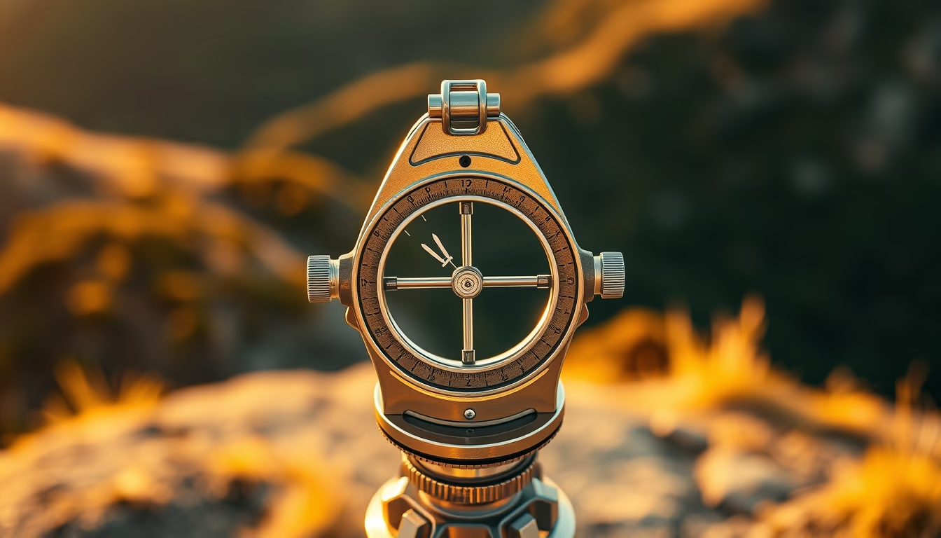
The sextant is a navigation instrument that measures angles between celestial bodies and the horizon, used for centuries to determine latitude at sea.
About this subject
The sextant is a precision optical instrument that allows navigators to measure the angular altitude of celestial bodies, such as the Sun, Moon, or stars, above the horizon. This measurement, combined with an accurate time, enables the calculation of latitude. Its operating principle relies on double mirror reflection, superimposing images to cancel out the ship's motion.
Developed in the 18th century from John Hadley's octant, the sextant quickly became essential for ocean navigation. Unlike the astrolabe, which depended on unstable plumb lines, the sextant provided steady readings even in rough seas. Instruments like John Harrison's marine chronometer complemented the sextant for precise longitude determination.
Culturally, the sextant symbolizes the Age of Discovery and European maritime expansion. Captains like James Cook and explorers such as Vasco da Gama relied on it to chart unknown routes. To this day, it is taught as a backup method in celestial navigation and is mandatory in naval officer training programs. Its accuracy, errors under 0.1 arcminute, still impresses compared to modern GPS systems.
A curiosity: the name comes from Latin 'sextans,' referring to the instrument's 60-degree arc, one sixth of a circle. Variants include the bubble sextant, used in aviation, and the reflection sextant, common on leisure boats. Despite digital technology, many navigators keep a sextant onboard as a safeguard against electronic failures.
Frequently Asked Questions
What is the difference between a sextant and an octant?
An octant measures angles up to 90 degrees (one eighth of a circle), while a sextant measures up to 120 degrees (one sixth). The sextant replaced the octant because it allowed nighttime readings using the moon and stars at larger angles.
How is a sextant used for navigation?
The navigator points the sextant at the desired celestial body, adjusts the mirrors until the reflected image aligns with the horizon, and reads the angle on the scale. With the exact time, astronomical tables are consulted to obtain latitude.
Why is the sextant still relevant today?
It serves as an independent backup that requires no power or satellites. In case of GPS failure, the sextant enables safe navigation. It is also used in training to understand the fundamentals of celestial navigation.
Direct URL
https://pub-c7d6a6ea828543ac903a74a341ccb2e1.r2.dev/imagens/sextant-navigation-tool-travel-photography-p3.avifHow to credit
Include a visible link back to UtilizAí. Copy one of the snippets below:
<a href="https://xn--utiliza-eza.com/en/midia/imagens/sextant-navigation-tool-travel-photography-p3">Sextant navigation tool</a> by <a href="https://xn--utiliza-eza.com">UtilizAí</a>, licensed under <a href="https://creativecommons.org/licenses/by/4.0/">CC BY 4.0</a>.
[Sextant navigation tool](https://xn--utiliza-eza.com/en/midia/imagens/sextant-navigation-tool-travel-photography-p3) by [UtilizAí](https://xn--utiliza-eza.com), CC BY 4.0
License: CC-BY-4.0