Sextant navigation tool
1344×768 · AVIF · CC BY 4.0
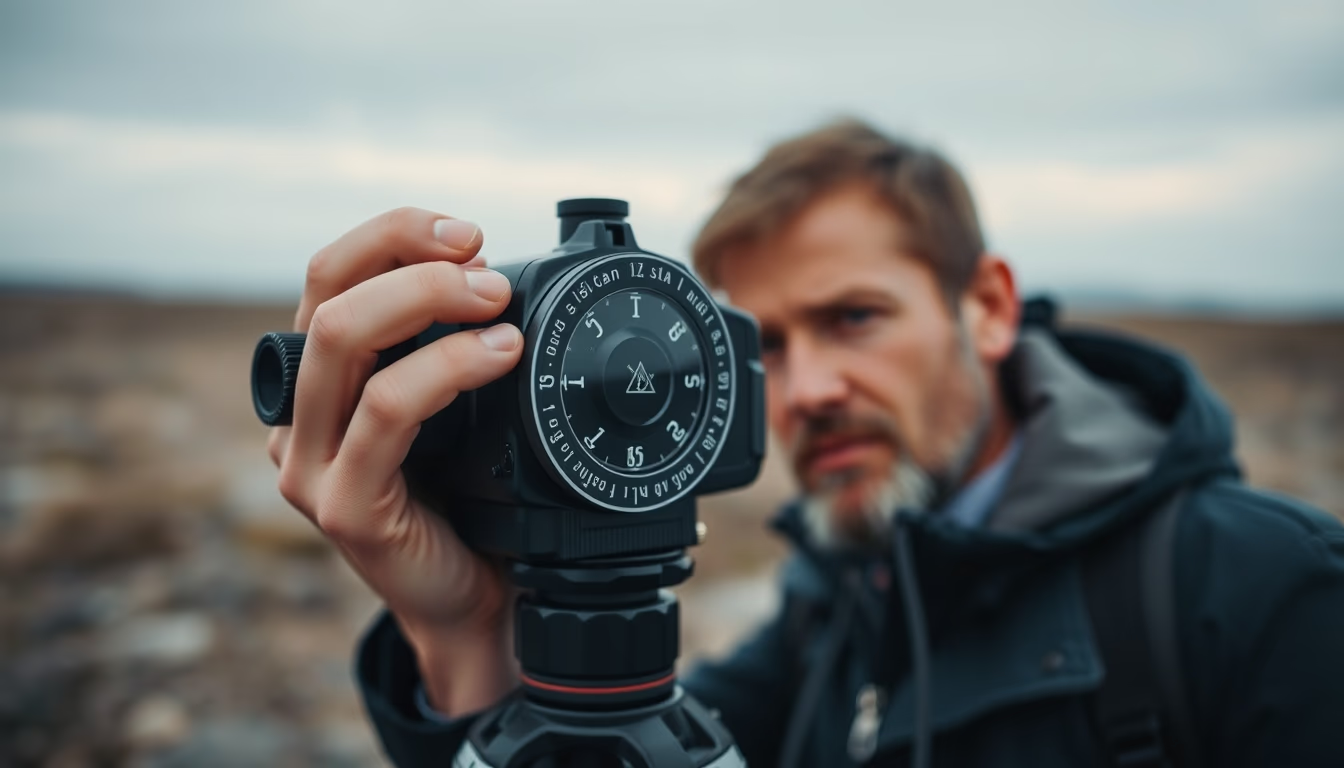
A sextant, an essential nautical instrument for celestial navigation, measures angles between celestial bodies and the horizon, enabling precise determination of geographic coordinates.
About this subject
A sextant is an optical instrument that revolutionized maritime navigation from the 18th century onward. Unlike the astrolabe or quadrant, the sextant uses two mirrors to superimpose the image of a celestial body (such as the Sun or a star) onto the horizon, measuring the angle between them. This measurement, combined with astronomical tables and precise time, allows the navigator to calculate latitude and, with methods like the intercept method, also longitude.
Its invention is attributed to John Hadley (England) and Thomas Godfrey (United States), both in 1731. The name derives from Latin sextans, meaning 'sixth part', because the instrument's arc covers 60 degrees (one-sixth of a circle). Despite the name, the sextant can measure angles up to 120 degrees due to optical doubling.
The sextant was crucial during the Age of Discovery and the colonial period, enabling ships to cross oceans with confidence. Even after the advent of GPS, the sextant remains a mandatory item on long-distance vessels as a backup, since it requires no electrical power or satellites. As of 2023, the US Navy still trains officers in sextant use, ensuring the resilience of celestial navigation.
Frequently Asked Questions
How does a sextant differ from an astrolabe?
A sextant is more precise and compact than an astrolabe. It uses two mirrors to measure angles steadily, whereas the astrolabe is a disc with alidades that relies on plumb lines and is more affected by the ship's motion.
Is the sextant still used today?
Yes, it is used as a backup instrument in ocean navigation, officer training, and long-distance voyages where GPS might fail or be disabled.
How accurate is a sextant?
An experienced navigator can measure angles to within 0.1 arcminute (about 185 meters error in latitude), depending on conditions and the type of sextant.
Direct URL
https://pub-c7d6a6ea828543ac903a74a341ccb2e1.r2.dev/imagens/sextant-navigation-tool-lo-fi-disposable-camera-p8.avifHow to credit
Include a visible link back to UtilizAí. Copy one of the snippets below:
<a href="https://xn--utiliza-eza.com/en/midia/imagens/sextant-navigation-tool-lo-fi-disposable-camera-p8">Sextant navigation tool</a> by <a href="https://xn--utiliza-eza.com">UtilizAí</a>, licensed under <a href="https://creativecommons.org/licenses/by/4.0/">CC BY 4.0</a>.
[Sextant navigation tool](https://xn--utiliza-eza.com/en/midia/imagens/sextant-navigation-tool-lo-fi-disposable-camera-p8) by [UtilizAí](https://xn--utiliza-eza.com), CC BY 4.0
License: CC-BY-4.0