Mammatus clouds rare
1344×768 · AVIF · CC BY 4.0
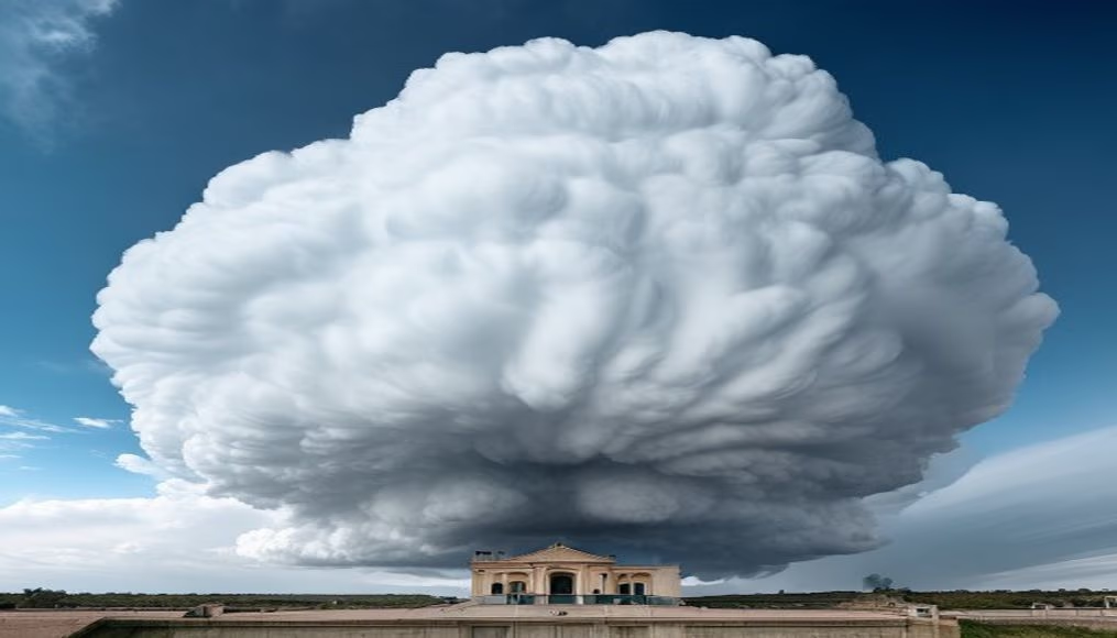
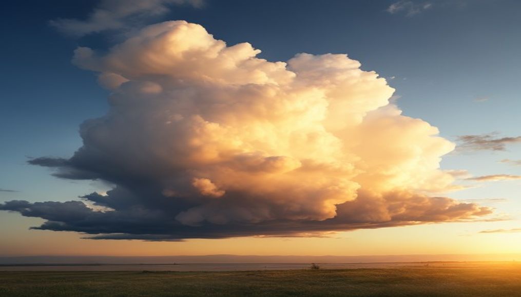
Mammatus clouds are rare, dramatic formations that appear on the underside of thunderstorms, with pouch-like lobes indicating extreme turbulence.
About this subject
Mammatus clouds, also known as mammatocumulus or simply mamma clouds, are a striking meteorological phenomenon that forms on the underside of thunderstorm clouds, particularly cumulonimbus. They are characterized by rounded, pouch-like lobes that hang downward, resembling udders. Despite their ominous appearance, mammatus clouds usually do not produce severe weather directly; instead, they indicate that the storm is in a dissipating phase or that strong wind shear is present.
The exact formation process is still studied, but the leading theory involves downdrafts of cold, dry air carrying ice crystals. As these crystals fall into warmer, moist air below the cloud, they sublimate, cooling the surrounding air and creating pockets of dense air that sag downward. Mammatus can stretch for hundreds of kilometers and last from minutes to hours, depending on atmospheric conditions.
These clouds are rare and most common in plains regions, such as the central United States, but they also occur in Brazil, often associated with cold fronts or isolated thunderstorms. In Brazil, sightings have been reported in states like São Paulo, Rio Grande do Sul, and Paraná. Storm photographers and weather enthusiasts consider them a visual spectacle, often mistaken for tornado clouds, though they are not directly linked.
Interestingly, mammatus clouds can display various colors depending on sunlight: orange or red at sunset, or white-gray during the day. They remind us of the atmosphere's complexity and the beauty that can arise in extreme conditions. Spotting one is a memorable experience and a sign that the weather is about to change.
Frequently Asked Questions
Are mammatus clouds dangerous?
Generally no. They indicate atmospheric turbulence and can accompany severe storms, but the presence of mammatus itself is not directly dangerous. However, always stay alert to local weather conditions.
Where can I see mammatus clouds?
They are most common in plains regions, such as the central United States, but also occur in other parts of the world, including Brazil. Look for them in the afternoon or evening during thunderstorm activity.
What is the difference between mammatus and tornado clouds?
Tornado clouds (wall clouds) are low, rotating bases associated with supercells. Mammatus are pouch-like lobes on a cloud's underside and do not indicate rotation. Both can occur together but are distinct.
Direct URL
https://pub-c7d6a6ea828543ac903a74a341ccb2e1.r2.dev/imagens/mammatus-clouds-rare-architectural-photography-p2.avifHow to credit
Include a visible link back to UtilizAí. Copy one of the snippets below:
<a href="https://xn--utiliza-eza.com/en/midia/imagens/mammatus-clouds-rare-architectural-photography-p2">Mammatus clouds rare</a> by <a href="https://xn--utiliza-eza.com">UtilizAí</a>, licensed under <a href="https://creativecommons.org/licenses/by/4.0/">CC BY 4.0</a>.
[Mammatus clouds rare](https://xn--utiliza-eza.com/en/midia/imagens/mammatus-clouds-rare-architectural-photography-p2) by [UtilizAí](https://xn--utiliza-eza.com), CC BY 4.0
License: CC-BY-4.0