Thunderstorm cloud anvil
1344×768 · AVIF · CC BY 4.0
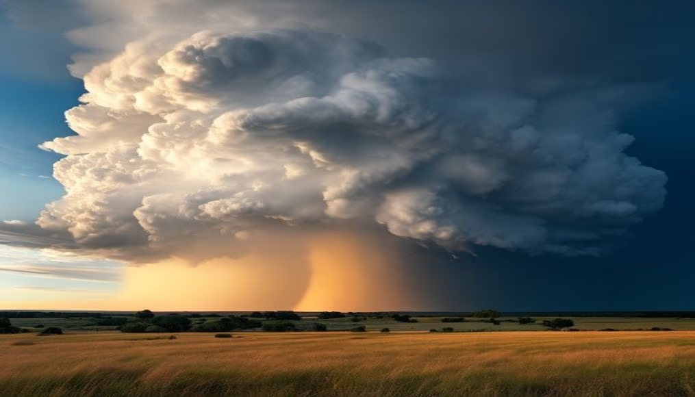
The anvil of a thunderstorm cloud, the flat top of a cumulonimbus, indicates powerful updrafts and is a classic sign of severe weather.
About this subject
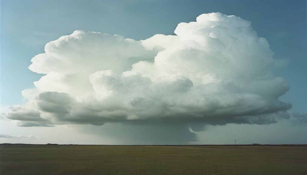
The anvil of a thunderstorm cloud, technically called the incus, is the most recognizable feature of a mature cumulonimbus. It forms when the updraft reaches the tropopause, the boundary between the troposphere and stratosphere, and can rise no further, spreading horizontally. This flat top can extend for tens of kilometers downwind, creating an anvil shape. The more extensive the anvil, the stronger and longer-lasting the storm tends to be.
Anvil formation is linked to severe weather phenomena such as hail, lightning, strong winds, and in some cases, tornadoes. A prominent anvil indicates a robust updraft capable of lifting water droplets and ice crystals to great altitudes, often exceeding 12 kilometers. These ice crystals at the cloud top are responsible for the fibrous, grayish appearance of the anvil, contrasting with the dark base of the cloud.
Geographically, thunderstorm anvils are common in tropical and temperate regions during spring and summer when solar heating is strongest. In Brazil, they are frequent in the Midwest and Southeast, especially in summer. Storm chasers and photographers seek to capture the grandeur of these formations, which can be seen from great distances before rain arrives. Safe observation of an anvil requires adequate distance, as associated storms can produce dangerous lightning.
Frequently Asked Questions
What does the anvil shape of a thunderstorm cloud mean?
The anvil indicates that the storm's updraft has reached the tropopause and spread horizontally. This typically means the storm is mature and may produce severe weather such as hail and strong winds.
Is a thunderstorm anvil dangerous?
Yes, a prominent anvil is a sign of a strong storm. It can be associated with lightning, heavy rain, and even tornadoes. It is important to seek shelter when such a cloud approaches.
What is the typical altitude of a thunderstorm anvil?
The anvil forms at the top of the cumulonimbus, usually between 10 and 15 kilometers (33,000 to 49,000 feet) altitude, depending on latitude and storm strength. In the tropics, it can reach up to 18 kilometers (59,000 feet).
Direct URL
https://pub-c7d6a6ea828543ac903a74a341ccb2e1.r2.dev/imagens/thunderstorm-cloud-anvil-travel-photography-p2.avifHow to credit
Include a visible link back to UtilizAí. Copy one of the snippets below:
<a href="https://xn--utiliza-eza.com/en/midia/imagens/thunderstorm-cloud-anvil-travel-photography-p2">Thunderstorm cloud anvil</a> by <a href="https://xn--utiliza-eza.com">UtilizAí</a>, licensed under <a href="https://creativecommons.org/licenses/by/4.0/">CC BY 4.0</a>.
[Thunderstorm cloud anvil](https://xn--utiliza-eza.com/en/midia/imagens/thunderstorm-cloud-anvil-travel-photography-p2) by [UtilizAí](https://xn--utiliza-eza.com), CC BY 4.0
License: CC-BY-4.0