Sextant navigation tool
1344×768 · AVIF · CC BY 4.0
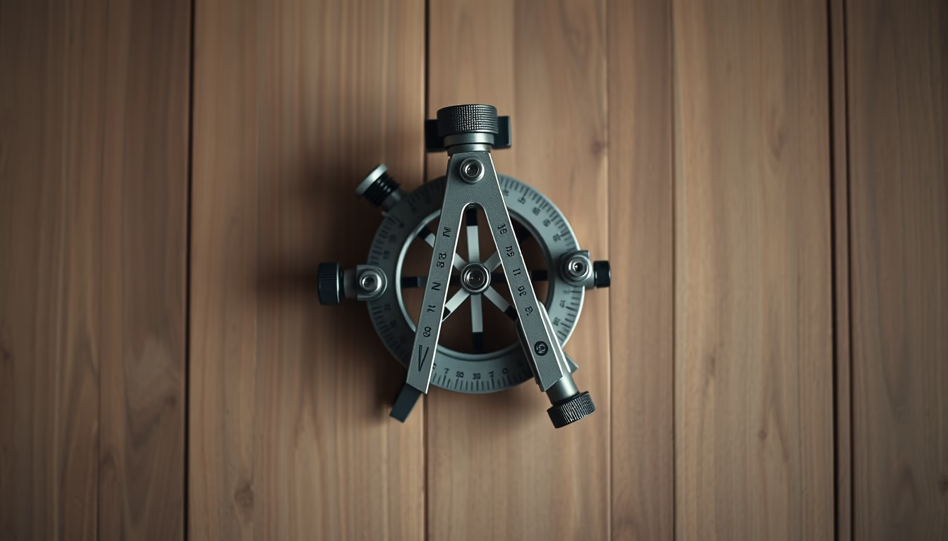
The sextant is a navigation instrument that measures angles between celestial bodies and the horizon, essential for astronomical navigation since the 18th century.
About this subject
The sextant is a precision optical instrument used to measure the elevation angle of a celestial body (such as the Sun, Moon, or stars) above the horizon. This data, combined with accurate time, allows the calculation of latitude and longitude for an observer at sea or on land. Independently invented by John Hadley in England and Thomas Godfrey in the USA around 1730, the sextant replaced the astrolabe and quadrant, offering greater accuracy and ease of use.
Its name derives from the 60-degree arc (one-sixth of a circle), though some models have 45- or 90-degree arcs. The operating principle uses mirrors to superimpose the image of a celestial body onto the horizon, enabling angular readings with precision up to 0.1 degrees. During the 18th and 19th centuries, the sextant was crucial for European maritime expansion, enabling long-distance voyages and the mapping of new lands. Navigators such as James Cook and Vasco da Gama relied on it for their explorations.
Remarkably, the sextant is still used today by sailors and amateur astronomers as a backup tool for GPS systems. Beyond navigation, it is also employed for measuring angles in surveying and astronomy. Its typical construction includes a graduated brass or aluminum arc, mirrors, a telescope, and sun filters to protect the eyes. Antique models are prized as collectibles, while modern plastic versions are affordable for enthusiasts.
Frequently Asked Questions
How does a sextant work?
The sextant uses two mirrors to align the image of a celestial body with the horizon. The angle measured on the graduated arc gives the body's altitude, which, combined with time and nautical tables, determines the observer's position.
What is the accuracy of a sextant?
With practice, a sextant can measure angles to within 0.1 degrees (or 6 arcminutes). This corresponds to about 1 nautical mile (1.85 km) of position error, depending on conditions.
Is the sextant still used today?
Yes, although GPS is standard, the sextant is taught in maritime schools and used as a backup. It is also popular among long-distance sailors and celestial navigation enthusiasts.
Direct URL
https://pub-c7d6a6ea828543ac903a74a341ccb2e1.r2.dev/imagens/sextant-navigation-tool-isometric-flat-lay-p11.avifHow to credit
Include a visible link back to UtilizAí. Copy one of the snippets below:
<a href="https://xn--utiliza-eza.com/en/midia/imagens/sextant-navigation-tool-isometric-flat-lay-p11">Sextant navigation tool</a> by <a href="https://xn--utiliza-eza.com">UtilizAí</a>, licensed under <a href="https://creativecommons.org/licenses/by/4.0/">CC BY 4.0</a>.
[Sextant navigation tool](https://xn--utiliza-eza.com/en/midia/imagens/sextant-navigation-tool-isometric-flat-lay-p11) by [UtilizAí](https://xn--utiliza-eza.com), CC BY 4.0
License: CC-BY-4.0