Sextant navigation tool
1344×768 · AVIF · CC BY 4.0
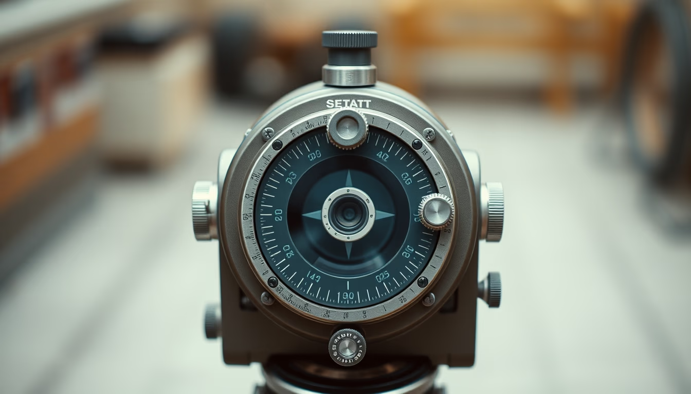
Sextant, a celestial navigation tool that revolutionized maritime exploration by measuring angles between celestial bodies and the horizon.
About this subject
Invented independently by Englishman John Hadley and American Thomas Godfrey around 1730, the sextant replaced the astrolabe and cross-staff in ocean navigation. Its principle relies on double reflection of light, using two mirrors to align the celestial body (Sun, Moon, star) with the horizon, allowing angular height measurement with precision up to 0.1 degree. This measurement, combined with nautical tables and chronometers, enabled calculation of latitude and, from the 18th century onward, longitude with reasonable accuracy.
During the 18th and 19th centuries, the sextant was mandatory equipment on exploration, trade, and warships. James Cook's expedition to the Pacific (1768-1779) used sextants to map the coasts of New Zealand and Australia. Later, in the Gold Rush and transatlantic voyages, the instrument was the primary tool to avoid shipwrecks and maintain routes. Its circular sector design (60 degrees, hence 'sextant') differs from the octant (45 degrees) and quintant (72 degrees).
With the advent of GPS in the 1990s, sextant use declined dramatically, but it remains an essential backup method in naval training and electronic failure scenarios. The United States Navy, for example, still teaches celestial navigation in its courses. Additionally, sextants were carried aboard Apollo missions as contingency instruments, though rarely used.
Interestingly, the sextant has inspired modern designs: orientation sensors in satellites and spacecraft employ similar angular measurement principles. The vintage authenticity of the image, with film grain, evokes the golden age of sailing, when the instrument symbolized technical expertise and courage.
Frequently Asked Questions
How does a sextant work?
The sextant measures the angle between a celestial body and the horizon using two mirrors. The observer rotates the arm until the reflected body aligns with the horizon, then reads the angle on a graduated scale.
What is the difference between a sextant and an astrolabe?
The astrolabe, older, is based on planar projections and measures altitude with a pointer. The sextant uses double reflection, being more accurate and practical on ships as it compensates for vessel motion.
Is the sextant still used today?
Yes, as a backup method in naval training and aviation. Pilots and sailors learn its use for GPS failure scenarios. It is also used in traditional navigation expeditions and by enthusiasts.
Direct URL
https://pub-c7d6a6ea828543ac903a74a341ccb2e1.r2.dev/imagens/sextant-navigation-tool-film-grain-authentic-p7.avifHow to credit
Include a visible link back to UtilizAí. Copy one of the snippets below:
<a href="https://xn--utiliza-eza.com/en/midia/imagens/sextant-navigation-tool-film-grain-authentic-p7">Sextant navigation tool</a> by <a href="https://xn--utiliza-eza.com">UtilizAí</a>, licensed under <a href="https://creativecommons.org/licenses/by/4.0/">CC BY 4.0</a>.
[Sextant navigation tool](https://xn--utiliza-eza.com/en/midia/imagens/sextant-navigation-tool-film-grain-authentic-p7) by [UtilizAí](https://xn--utiliza-eza.com), CC BY 4.0
License: CC-BY-4.0