Sextant navigation tool
1344×768 · AVIF · CC BY 4.0
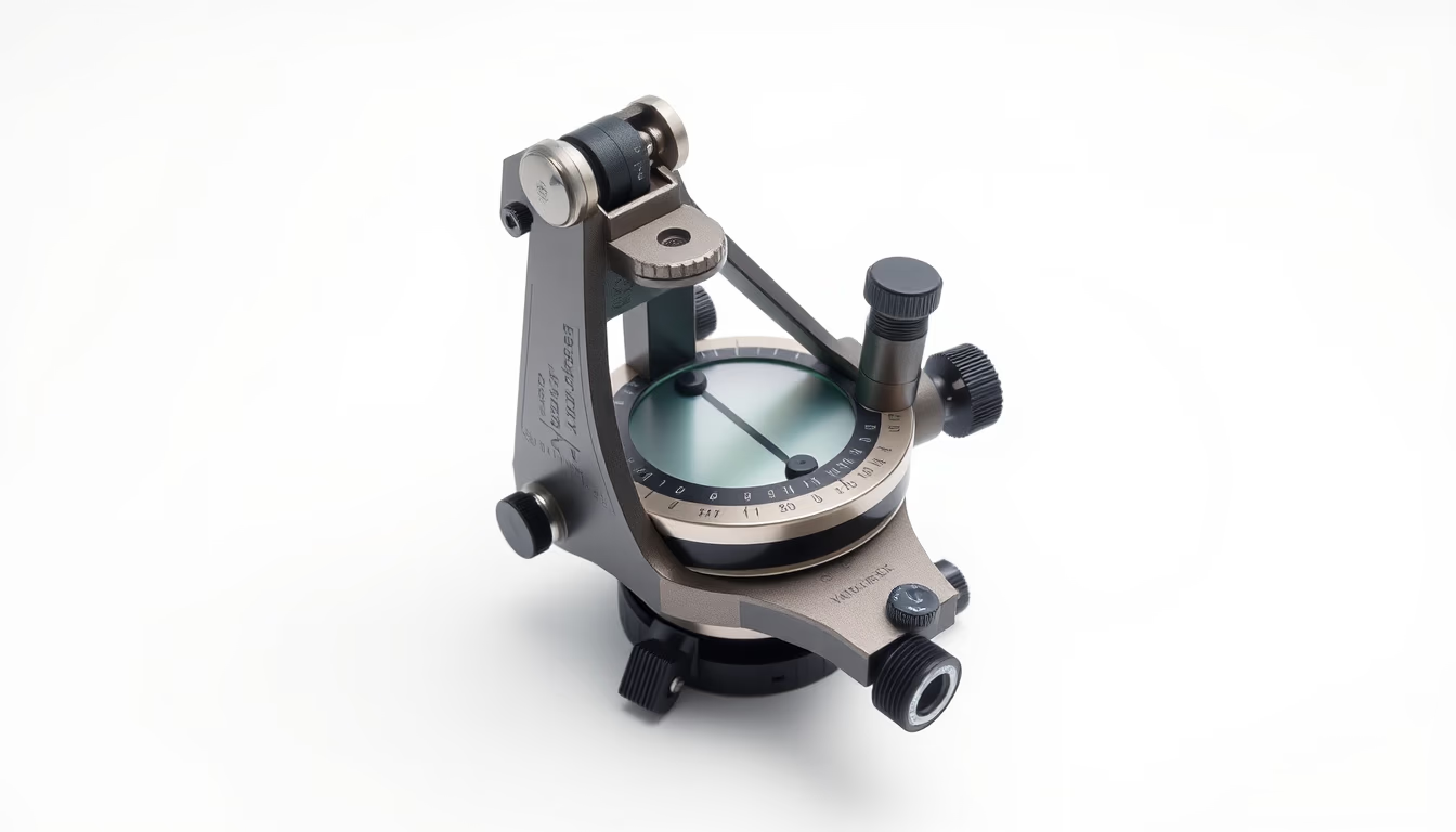
The sextant is a navigation instrument that measures angles between celestial bodies and the horizon, essential for determining position at sea.
About this subject
The sextant, invented independently by John Hadley in England and Thomas Godfrey in the United States around 1730, replaced the astrolabe and quadrant. Its name derives from the Latin 'sextans', meaning 'sixth part', referring to the 60-degree arc (one-sixth of a circle) that defines its scale. The instrument allows measuring the altitude of celestial bodies above the horizon with accuracy up to 0.1 degrees, enabling navigators to calculate their latitude and, with marine chronometers, also longitude.
During the 18th and 19th centuries, the sextant was crucial for European maritime expansion, including the Age of Discovery and the Grand Explorations. It was used aboard merchant, military, and exploratory vessels such as those of James Cook and Charles Darwin. The ability to navigate accurately reduced travel time and saved lives by preventing shipwrecks caused by position errors. The sextant also found applications in topographic surveys and terrestrial cartography.
The sextant operates using a system of mirrors that doubles the measured angle, allowing the navigator to see the horizon and a celestial body simultaneously. The graduated arc, known as the 'limb', is typically made of brass or other corrosion-resistant metal. The instrument includes a movable alidade with a vernier for precise readings. Although modern GPS systems are now prevalent, the sextant is still taught in nautical courses as a backup instrument because it does not rely on electronics or satellites. Its robust construction and reliability make it a symbol of the golden age of celestial navigation.
Interestingly, the sextant is also used in aviation for celestial navigation, albeit with adaptations. Modern versions may include illuminated scales for night use. The word 'sextant' is sometimes confused with 'sextant' (a musical instrument), but they are distinct. Antique sextants are valuable collector's items and can be found in naval and natural history museums, such as the National Maritime Museum in Greenwich, United Kingdom.
Frequently Asked Questions
What is the difference between a sextant and an astrolabe?
The astrolabe is older and measures angles directly with a rotating arm; the sextant uses a mirror system to double the angle, offering greater precision, especially on rough seas.
Is the sextant still used today?
Yes, it is taught in navigation courses as a backup instrument when electronic systems like GPS fail. Aviation and navy still train in its use.
How does a sextant determine longitude?
For longitude, an accurate marine chronometer is needed. The navigator measures the Sun's altitude at local noon and compares it with the time at the reference meridian (Greenwich), calculating the difference.
Direct URL
https://pub-c7d6a6ea828543ac903a74a341ccb2e1.r2.dev/imagens/sextant-navigation-tool-commercial-product-photography-p2.avifHow to credit
Include a visible link back to UtilizAí. Copy one of the snippets below:
<a href="https://xn--utiliza-eza.com/en/midia/imagens/sextant-navigation-tool-commercial-product-photography-p2">Sextant navigation tool</a> by <a href="https://xn--utiliza-eza.com">UtilizAí</a>, licensed under <a href="https://creativecommons.org/licenses/by/4.0/">CC BY 4.0</a>.
[Sextant navigation tool](https://xn--utiliza-eza.com/en/midia/imagens/sextant-navigation-tool-commercial-product-photography-p2) by [UtilizAí](https://xn--utiliza-eza.com), CC BY 4.0
License: CC-BY-4.0