Old map parchment
1344×768 · AVIF · CC BY 4.0
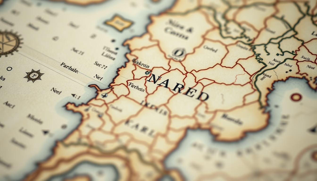
Old map parchments reveal centuries of geographic exploration, handcrafted cartography, and materials like treated animal skin.
About this subject
Old map parchments are historical documents that recorded geographical knowledge of various eras. Made from animal skins such as sheep, goats, or calves, the manufacturing process involved washing, stretching, and scraping to obtain a thin, durable surface for writing and drawing. During the Middle Ages and Renaissance, these materials were the primary choice for European cartographers, who produced maps like the Hereford Mappa Mundi (13th century) and the Mediterranean portolan charts.
The parchment-making technique was labor-intensive and expensive, limiting production to monasteries, royal courts, and wealthy merchants. Unlike paper, parchment withstands aging better, allowing specimens to survive for over a thousand years. Many parchment maps were hand-illuminated with natural pigments, such as ultramarine blue from lapis lazuli or vermilion from cinnabar, making them works of art as well as navigation tools.
With the advent of printing and paper in the 16th century, parchment use gradually declined, but its legacy persists in library and museum collections worldwide. Today, digitization of these maps provides global access to details revealing vanished borders, archaic place names, and the evolution of human understanding of the planet.
Frequently Asked Questions
What is the difference between parchment and paper for old maps?
Parchment is made from treated animal skin, being more durable and resistant to moisture than paper. Parchment maps could be reused by scraping off ink, while paper was cheaper and lighter, enabling mass reproduction after the printing press invention.
How did medieval cartographers draw maps on parchment?
They used instruments like compasses and rulers to outline routes, along with bird feather quills and inks made from soot or mineral pigments. Many maps included illustrations of animals, sea monsters, and mythological figures, reflecting the knowledge and beliefs of the time.
Where can I see old parchment maps today?
Major collections are at the National Library of France (Paris), the Vatican Library, the British Museum (London), and the Library of Congress (Washington). In Brazil, the National Archive and the National Library of Rio de Janeiro hold colonial examples.
Direct URL
https://pub-c7d6a6ea828543ac903a74a341ccb2e1.r2.dev/imagens/old-map-parchment-tilt-shift-miniature-p11.avifHow to credit
Include a visible link back to UtilizAí. Copy one of the snippets below:
<a href="https://xn--utiliza-eza.com/en/midia/imagens/old-map-parchment-tilt-shift-miniature-p11">Old map parchment</a> by <a href="https://xn--utiliza-eza.com">UtilizAí</a>, licensed under <a href="https://creativecommons.org/licenses/by/4.0/">CC BY 4.0</a>.
[Old map parchment](https://xn--utiliza-eza.com/en/midia/imagens/old-map-parchment-tilt-shift-miniature-p11) by [UtilizAí](https://xn--utiliza-eza.com), CC BY 4.0
License: CC-BY-4.0