Old map parchment
1344×768 · AVIF · CC BY 4.0
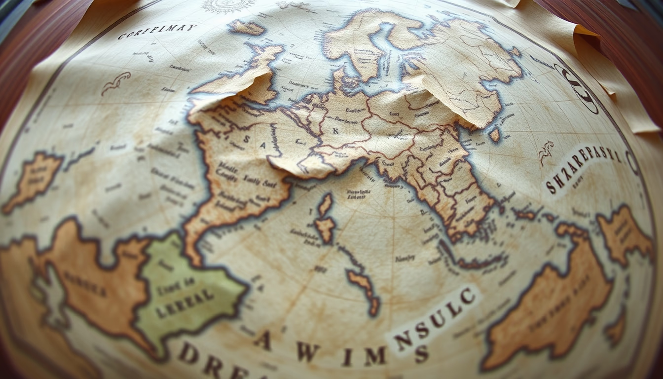
Old map parchments reveal centuries of history, art, and geographic knowledge, serving as testimonies to the evolution of world cartography.
About this subject
Old maps on parchment are historical documents that blend art, science, and exploration. Made from treated animal skin, parchment was the standard medium before paper became common in Europe. Each map reflects the geographical knowledge of its time, with imprecise boundaries, imaginary lands, and mythical creatures. Creating a parchment map required the skill of a cartographer and an illuminator, who added ornamental details such as compass roses and stylized castles.
The Middle Ages produced world maps like the Hereford Mappa Mundi (c. 1300), which depicts a Christian worldview with Jerusalem at the center. During the Age of Discovery, maps like Juan de la Cosa’s (1500) documented early European views of the Americas. Parchment was durable but sensitive to humidity, which explains why many old maps survived in climate‑controlled libraries and archives.
Interestingly, parchment maps often bore annotations by actual navigators, routes, currents, and hazards, turning them into visual logbooks. The production technique involved stretching the skin, scraping off hair, and drying it, resulting in a surface that accepted water‑based inks and mineral pigments. Bright colors came from minerals such as azurite (blue) and cinnabar (red).
Today, these maps are valuable not only for their geographic content but as artworks and testimonies to past civilizations’ worldviews. Collectors and historians study every detail, from calligraphy to decorative borders, to understand the cultural and political context of their creation.
Frequently Asked Questions
Why was parchment used for old maps?
Parchment was durable and resistant to frequent handling, and it was widely available before mass paper production. Its smooth surface allowed fine details and corrections, and animal skin was a common resource in medieval Europe.
How did medieval cartographers obtain information to draw maps?
They relied on travelers' accounts, classical texts like Ptolemy's, and oral traditions. Many lands were speculative or based on legends, resulting in maps that mixed real data with mythological elements.
What is the difference between a parchment map and a modern map?
Parchment maps were hand‑drawn, unique, and often artistically decorated. They reflected partial knowledge and worldviews, while modern maps are mass‑produced based on accurate satellite and GPS data.
Direct URL
https://pub-c7d6a6ea828543ac903a74a341ccb2e1.r2.dev/imagens/old-map-parchment-fish-eye-wide-angle-p10.avifHow to credit
Include a visible link back to UtilizAí. Copy one of the snippets below:
<a href="https://xn--utiliza-eza.com/en/midia/imagens/old-map-parchment-fish-eye-wide-angle-p10">Old map parchment</a> by <a href="https://xn--utiliza-eza.com">UtilizAí</a>, licensed under <a href="https://creativecommons.org/licenses/by/4.0/">CC BY 4.0</a>.
[Old map parchment](https://xn--utiliza-eza.com/en/midia/imagens/old-map-parchment-fish-eye-wide-angle-p10) by [UtilizAí](https://xn--utiliza-eza.com), CC BY 4.0
License: CC-BY-4.0