Old map parchment
1344×768 · AVIF · CC BY 4.0
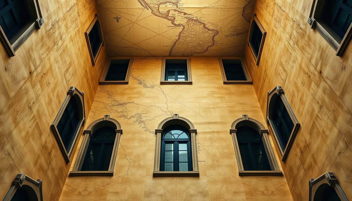
Old map parchments are historical artifacts that reveal geographical and cultural knowledge of past eras.
About this subject
Old maps on parchment are cartographic records dating back centuries, primarily from the Middle Ages to the 18th century. Parchment, made from animal skin (sheep, goat, or calf), was the preferred medium for its durability and resistance to moisture, unlike papyrus. These maps not only guided sailors and travelers but also served as symbols of power and property, especially in land disputes.
The production of a parchment map involved skilled craftsmen who used carbon-based inks and mineral pigments. Details were drawn with bird quills and often included illustrations of sea monsters, wind roses, and decorative borders. Famous examples include the Catalan Atlas (1375) and medieval portolan charts of the Mediterranean, which combined coastal accuracy with fantastical elements.
With the advent of printing and paper, the use of parchment for maps declined, but many specimens survive in libraries, museums, and private collections. Today, institutions like the National Library of France and the British Library digitize these maps for public access, allowing scholars to study the evolution of geography and cartography. Preserving parchment requires controlled temperature and humidity, as it is sensitive to pests and excessive light.
Interestingly, parchment maps sometimes contained deliberate errors, such as fictional islands, to discourage copying by competitors. These artifacts are not only historical documents but also artworks that bear witness to the creativity and knowledge of ancient civilizations.
Frequently Asked Questions
What is parchment and why was it used for old maps?
Parchment is a material made from animal skin (sheep, goat, or calf) processed into a durable writing surface. It was used for old maps because it resisted moisture and wear better than papyrus and could be reused.
How were old maps drawn without modern technology?
Cartographers used tools like astrolabes, compasses, and calculation rulers, along with astronomical observations. Details were hand-drawn with natural inks, and maritime routes were based on distance and direction estimates.
Where can I see old parchment maps today?
Major collections are held by national libraries such as the National Library of France, the British Library in London, and the Library of Congress in the USA. Many collections are digitized and available online.
Direct URL
https://pub-c7d6a6ea828543ac903a74a341ccb2e1.r2.dev/imagens/old-map-parchment-architectural-photography-p4.avifHow to credit
Include a visible link back to UtilizAí. Copy one of the snippets below:
<a href="https://xn--utiliza-eza.com/en/midia/imagens/old-map-parchment-architectural-photography-p4">Old map parchment</a> by <a href="https://xn--utiliza-eza.com">UtilizAí</a>, licensed under <a href="https://creativecommons.org/licenses/by/4.0/">CC BY 4.0</a>.
[Old map parchment](https://xn--utiliza-eza.com/en/midia/imagens/old-map-parchment-architectural-photography-p4) by [UtilizAí](https://xn--utiliza-eza.com), CC BY 4.0
License: CC-BY-4.0