Brazilian highway BR-101 stretching toward horizon with cargo trucks at golden hour
1344×768 · AVIF · CC BY 4.0
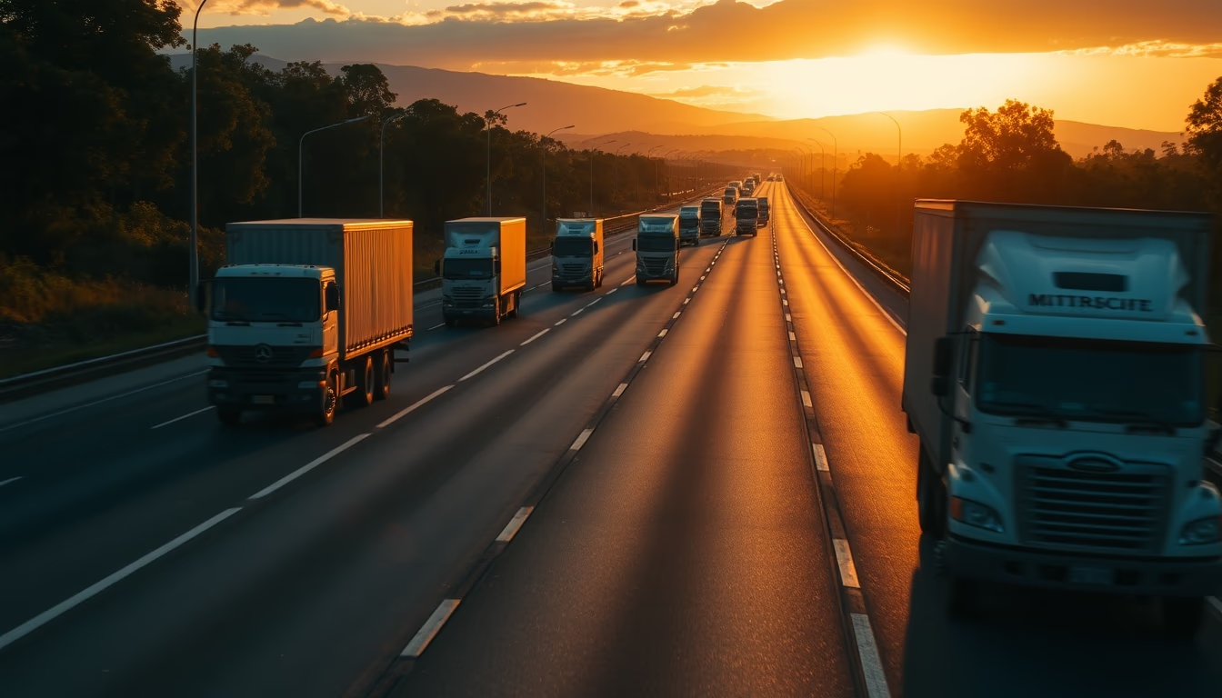
BR-101, Brazil's main longitudinal highway, stretches over 4,800 km connecting Rio Grande do Norte to Rio Grande do Sul.
About this subject
BR-101 is one of Brazil's most important highways, crossing the country from north to south along the Atlantic coast. Opened in stages between the 1960s and 1980s, its total length exceeds 4,800 kilometers, connecting 12 states and hundreds of municipalities. It is part of the federal highway system and is vital for the flow of agricultural, industrial, and mineral production, as well as being a tourist route to destinations such as Porto Seguro, Florianópolis, and the northeastern coast.
The highway traverses diverse landscapes, from the Atlantic Forest in Espírito Santo to the sandbanks of the Bahian coast. In many stretches, especially in the Northeast, BR-101 is the only paved road connecting inland cities to the coast. Truck traffic is intense, reflecting the road's role as a logistics corridor: it is estimated that over 30% of Brazil's road freight transport uses stretches of BR-101. The sunset hour, known as the golden hour, is common for long-distance trips, as drivers seek to avoid the intense midday heat.
BR-101 is also known for its infrastructure challenges. Sections such as the Serra do Mar in Santa Catarina require constant maintenance due to landslides and fog. In 2023, the federal government announced investments of R$ 1.5 billion in duplication and improvements, aiming to reduce accidents and increase traffic capacity. The highway is the scene of safety initiatives, such as the "Rota 101" program, which monitors critical points with radars and cameras. Despite improvements, BR-101 still faces chronic problems like potholes and lack of shoulders in rural areas.
Interestingly, BR-101 is not the longest highway in Brazil (BR-116 is longer), but it has the highest volume of heavy vehicle traffic. It is also known as "Rodovia Rio-Santos" in the stretch between São Paulo and Rio de Janeiro, although officially that name refers to BR-101 only on the northern coast of São Paulo. The road has inspired songs and literary works, symbolizing national integration and economic development.
Frequently Asked Questions
What is the total length of BR-101?
BR-101 is approximately 4,800 kilometers long, connecting Touros (RN) to São José do Norte (RS).
Why is BR-101 important for cargo transportation?
It connects ports, industrial zones, and agricultural regions, handling over 30% of Brazil's road freight transport.
What are the main problems faced on BR-101?
Potholes, lack of shoulders, landslides in mountainous sections, and a high accident rate, especially on single-lane stretches.
Direct URL
https://pub-c7d6a6ea828543ac903a74a341ccb2e1.r2.dev/imagens/brazilian-highway-br-101-stretching-toward-horizon-with-cargo-trucks-at-golden-h-wide-late-afternoon-7.avifHow to credit
Include a visible link back to UtilizAí. Copy one of the snippets below:
<a href="https://xn--utiliza-eza.com/en/midia/imagens/brazilian-highway-br-101-stretching-toward-horizon-with-cargo-trucks-at-golden-h-wide-late-afternoon-7">Brazilian highway BR-101 stretching toward horizon with cargo trucks at golden hour</a> by <a href="https://xn--utiliza-eza.com">UtilizAí</a>, licensed under <a href="https://creativecommons.org/licenses/by/4.0/">CC BY 4.0</a>.
[Brazilian highway BR-101 stretching toward horizon with cargo trucks at golden hour](https://xn--utiliza-eza.com/en/midia/imagens/brazilian-highway-br-101-stretching-toward-horizon-with-cargo-trucks-at-golden-h-wide-late-afternoon-7) by [UtilizAí](https://xn--utiliza-eza.com), CC BY 4.0
License: CC-BY-4.0