Thunderstorm cloud anvil
1344×768 · JPG · CC BY 4.0
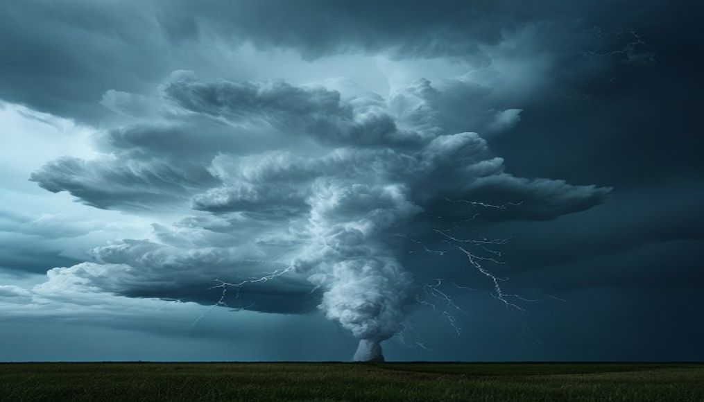
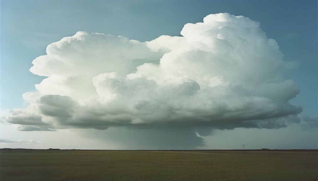
The thunderstorm anvil, or cumulonimbus incus, is a flat-topped cloud that signals severe storms with potential for hail, lightning, and strong winds.
About this subject
The anvil cloud is the most distinctive feature of a mature thunderstorm. It forms when the updraft of a cumulonimbus reaches the tropopause, the boundary between the troposphere and stratosphere. Since the air above is more stable, the cloud cannot rise further and spreads horizontally, creating a flat shape resembling an anvil. This process typically occurs in intense convective storms, common during summer in many parts of the world, including the central and southeastern United States, as well as tropical regions.
Meteorologically, the presence of an anvil is a reliable indicator of severe weather. Extensive anvil covers, sometimes spanning over 100 km, are associated with systems like supercells, which can produce tornadoes, large hail, and damaging winds. Geostationary satellites monitor anvil expansion to forecast dangerous storm development. Aviation also pays close attention: the anvil harbors strong upper-level jet streams and turbulence, as well as posing icing risks for aircraft.
Culturally, the anvil cloud is iconic. Storm chasers and photographers often seek out its dramatic shape. In meteorological communities, the term “anvil” is standard, and its presence in satellite imagery is used for rapid storm assessment. The cloud’s crisp edges and layered structure, often with a hard, flat top, distinguish it from other cloud types. It is also associated with the production of mammatus clouds underneath, which resemble pouches and indicate intense turbulence.
The anvil can reach altitudes of 15 to 20 kilometers. The larger the anvil, the greater the electrical charge area, leading to increased lightning activity. Research has shown that extensive anvils often precede high-intensity lightning strikes. Additionally, the anvil plays a role in the water cycle: ice crystals from the anvil can fall as virga or evaporate, influencing precipitation patterns downstream.
Frequently Asked Questions
What does it mean when the sky forms an anvil-shaped cloud?
It indicates that a severe thunderstorm is developing. The anvil shows that the updraft has reached the tropopause, and the storm is mature, with potential for hail, strong winds, and lightning.
Is the anvil cloud dangerous for aviation?
Yes. The anvil hides jet streams, severe turbulence, and icing risks. Pilots are trained to avoid flying under or near anvil clouds.
What is the typical height of an anvil cloud?
Between 12 and 20 kilometers, depending on latitude and storm intensity. In the tropics, the tropopause is higher, so anvils can reach greater altitudes.
Direct URL
https://pub-c7d6a6ea828543ac903a74a341ccb2e1.r2.dev/imagens/thunderstorm-cloud-anvil-high-fashion-editorial-p4.jpgHow to credit
Include a visible link back to UtilizAí. Copy one of the snippets below:
<a href="https://xn--utiliza-eza.com/en/midia/imagens/thunderstorm-cloud-anvil-high-fashion-editorial-p4">Thunderstorm cloud anvil</a> by <a href="https://xn--utiliza-eza.com">UtilizAí</a>, licensed under <a href="https://creativecommons.org/licenses/by/4.0/">CC BY 4.0</a>.
[Thunderstorm cloud anvil](https://xn--utiliza-eza.com/en/midia/imagens/thunderstorm-cloud-anvil-high-fashion-editorial-p4) by [UtilizAí](https://xn--utiliza-eza.com), CC BY 4.0
License: CC-BY-4.0