Sextant navigation tool
1344×768 · AVIF · CC BY 4.0
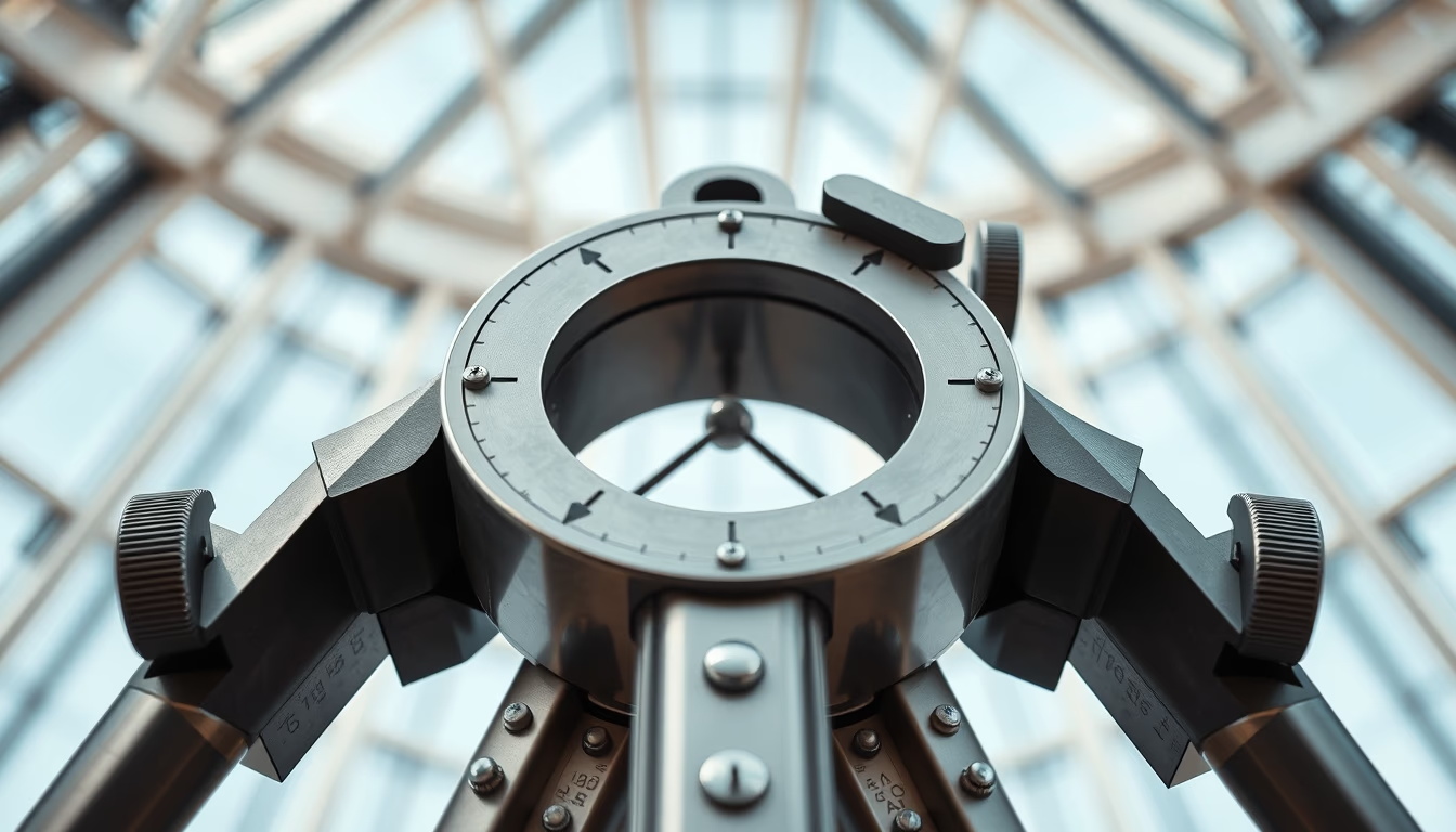
The sextant is a navigation instrument that measures angles between celestial bodies and the horizon, essential for celestial navigation.
About this subject
The sextant is a precision optical instrument developed in the 18th century to determine a vessel's position at sea. It replaced the astrolabe and quadrant, offering greater accuracy by measuring angles between celestial bodies such as the Sun, Moon, or stars and the horizon. Its invention is credited to Captain John Hadley (England, 1731) and independently to mathematician Thomas Godfrey (USA). The name comes from Latin 'sextus' (sixth), as its arc spans 60 degrees, one-sixth of a circle.
The sextant operates using two mirrors and a telescope. The observer adjusts the movable arm until the reflection of the celestial body aligns with the horizon, reading the angle on a scale. This angle, combined with precise time from a chronometer, allows calculation of latitude and longitude. Sextants were vital during the Age of Exploration, enabling safe routes and colonial expansion. Until the advent of GPS in the late 20th century, the sextant remained the primary tool for ocean navigation.
Today, the sextant is used mainly by traditional navigators and in nautical training as a backup to electronic systems. Antique pieces are collectors' items and can fetch high prices depending on condition and maker. 19th-century brass and bronze models are particularly sought after. The Brazilian Navy still teaches its use in officer training courses, preserving historical knowledge. In sailing competitions, experienced sailors use sextants in regattas that simulate navigation without modern technology.
Frequently Asked Questions
What distinguishes the sextant from other early navigation instruments?
The sextant is more accurate than the astrolabe or quadrant because it uses a 60-degree arc with mirrors that double the angular measurement, allowing precise readings even with the ship's motion.
How is the sextant used to determine position?
The navigator measures the altitude of a celestial body above the horizon. With that measurement and the exact time, they consult astronomical tables to calculate latitude and longitude. The process involves mathematical computation and practice.
Is the sextant still useful today?
Yes, as a backup for GPS systems. Many navigators keep one on board for electronic failure. It is also used in nautical training and by sailors in regattas that forbid modern technology.
Direct URL
https://pub-c7d6a6ea828543ac903a74a341ccb2e1.r2.dev/imagens/sextant-navigation-tool-architectural-photography-p6.avifHow to credit
Include a visible link back to UtilizAí. Copy one of the snippets below:
<a href="https://xn--utiliza-eza.com/en/midia/imagens/sextant-navigation-tool-architectural-photography-p6">Sextant navigation tool</a> by <a href="https://xn--utiliza-eza.com">UtilizAí</a>, licensed under <a href="https://creativecommons.org/licenses/by/4.0/">CC BY 4.0</a>.
[Sextant navigation tool](https://xn--utiliza-eza.com/en/midia/imagens/sextant-navigation-tool-architectural-photography-p6) by [UtilizAí](https://xn--utiliza-eza.com), CC BY 4.0
License: CC-BY-4.0