Old map parchment
1344×768 · AVIF · CC BY 4.0
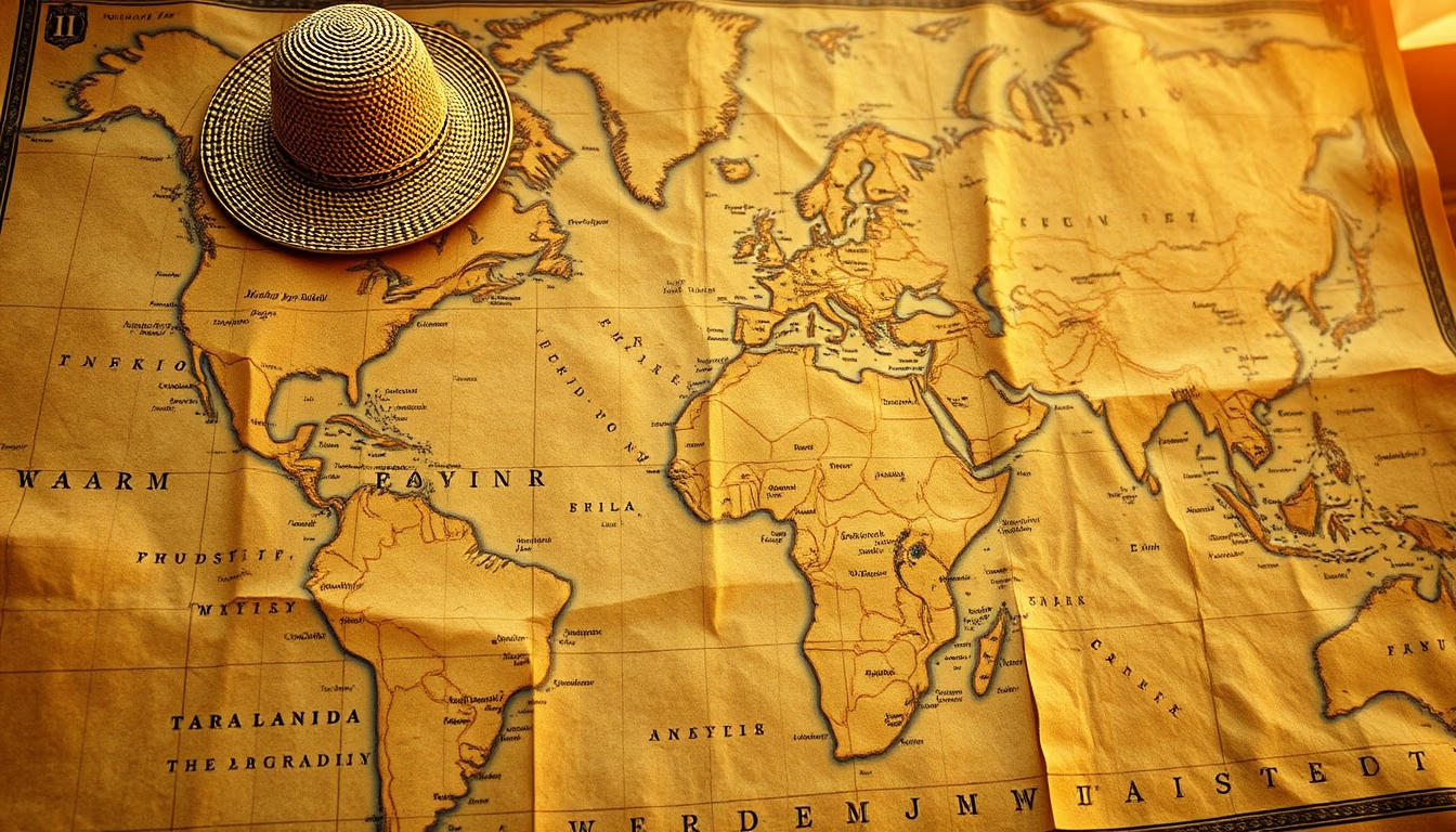
Old map parchments are artifacts blending art, science and history, revealing how civilizations viewed the world.
About this subject
Maps drawn on parchment represent some of humanity's most valuable cartographic records. Parchment, made from animal skin (usually sheep, goat or calf), was the common medium for documents in medieval and Renaissance Europe before paper became widespread. Its durability and smooth surface allowed fine details, but production was expensive and labor-intensive.
Parchment cartography flourished between the 12th and 17th centuries, with iconic examples like the Hereford Mappa Mundi (c. 1300) and the Catalan Atlas (1375), blending geographical knowledge with religious and mythological elements. Many of these maps were not accurate by modern standards but reflected the cosmological understanding of the time, including fantastic creatures and biblical lands.
Parchment maps also served practical purposes such as navigation and land administration. The word 'parchment' derives from the Greek 'pergamentum', referring to the city of Pergamon where the material was perfected. Today, these maps are preserved in museums and libraries like the Vatican Library, studied by historians to understand trade routes, political boundaries and worldviews of past centuries.
Creating a parchment map required multiple skills: preparing the hide, making ink (often from soot or gall nuts), and drawing meticulously with a quill. Many specimens survived for centuries due to controlled climate conditions and collector care, but others were lost in wars or disposal. Modern digitization allows anyone to explore these artifacts online, democratizing access to the world's cartographic heritage.
Frequently Asked Questions
What is the difference between parchment and paper for old maps?
Parchment is made from animal skin, more durable and tear-resistant but expensive. Paper, cheaper and abundant from the 15th century, enabled mass production but is less resistant to moisture and pests. Important maps often used parchment for longevity.
Why did old parchment maps include mythological figures?
They reflected the worldview of the time, blending geographical knowledge with religion and mythology. Creatures like mermaids and sea monsters illustrated unknown dangers, and biblical lands were included to emphasize sacred history.
Where can I view historical parchment maps today?
Major collections are at the Vatican Library, the British Library (e.g., Hereford Mappa Mundi), and the National Library of France. Many are digitized and freely accessible online.
Direct URL
https://pub-c7d6a6ea828543ac903a74a341ccb2e1.r2.dev/imagens/old-map-parchment-travel-photography-p1.avifHow to credit
Include a visible link back to UtilizAí. Copy one of the snippets below:
<a href="https://xn--utiliza-eza.com/en/midia/imagens/old-map-parchment-travel-photography-p1">Old map parchment</a> by <a href="https://xn--utiliza-eza.com">UtilizAí</a>, licensed under <a href="https://creativecommons.org/licenses/by/4.0/">CC BY 4.0</a>.
[Old map parchment](https://xn--utiliza-eza.com/en/midia/imagens/old-map-parchment-travel-photography-p1) by [UtilizAí](https://xn--utiliza-eza.com), CC BY 4.0
License: CC-BY-4.0