Mammatus clouds rare
1344×768 · AVIF · CC BY 4.0
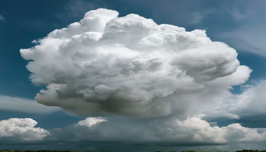
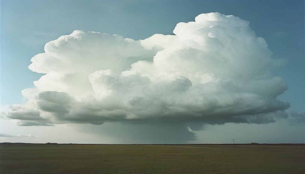
Mammatus clouds are rare, dramatic pouch-like formations that appear under thunderstorms, signaling extreme atmospheric instability.
About this subject
Mammatus clouds, also called mammatocumulus, are a rare meteorological phenomenon characterized by rounded, pouch-like protrusions that hang from the base of a cloud, typically a cumulonimbus thundercloud. The name comes from the Latin mamma (breast) due to the udder-like shape. They form when pockets of cold, dense air sink into warmer air, causing the cloud base to bulge downward. These structures can span hundreds of kilometers and last from minutes to hours, creating a dramatic and often eerie sky.
Though they appear serene, mammatus clouds signal severe turbulence inside the parent cloud. They are most common in the Great Plains of the United States during spring and summer, often associated with supercell thunderstorms. In Brazil, they appear mainly in the South and Southeast during intense storms. Meteorologists regard them as indicators of potential hail, strong winds, or even tornadoes, making them valuable for storm prediction.
Interestingly, mammatus clouds do not produce rain themselves; the ice crystals and droplets within them typically evaporate before reaching the ground. However, the air beneath them can experience strong downdrafts. Scientific studies, including those using high-resolution models, show that their formation involves Rayleigh-Taylor instability rather than simple subsidence. Storm chasers and photographers prize these formations for their surreal beauty, especially during golden hour when light enhances their texture and depth.
Frequently Asked Questions
What are mammatus clouds?
They are pouch-like cloud formations that hang from the base of thunderstorms, typically cumulonimbus. They indicate strong instability and downdrafts of cold air.
Are mammatus clouds dangerous?
They themselves are not hazardous, but they signal severe storms with potential for hail, strong winds, and tornadoes. They serve as a visual warning for adverse weather.
Where and when are mammatus clouds most common?
They occur worldwide but are most frequent in the Great Plains of North America during spring and summer. In Brazil, they appear in the South and Southeast during intense storms.
Direct URL
https://pub-c7d6a6ea828543ac903a74a341ccb2e1.r2.dev/imagens/mammatus-clouds-rare-high-fashion-editorial-p1.avifHow to credit
Include a visible link back to UtilizAí. Copy one of the snippets below:
<a href="https://xn--utiliza-eza.com/en/midia/imagens/mammatus-clouds-rare-high-fashion-editorial-p1">Mammatus clouds rare</a> by <a href="https://xn--utiliza-eza.com">UtilizAí</a>, licensed under <a href="https://creativecommons.org/licenses/by/4.0/">CC BY 4.0</a>.
[Mammatus clouds rare](https://xn--utiliza-eza.com/en/midia/imagens/mammatus-clouds-rare-high-fashion-editorial-p1) by [UtilizAí](https://xn--utiliza-eza.com), CC BY 4.0
License: CC-BY-4.0