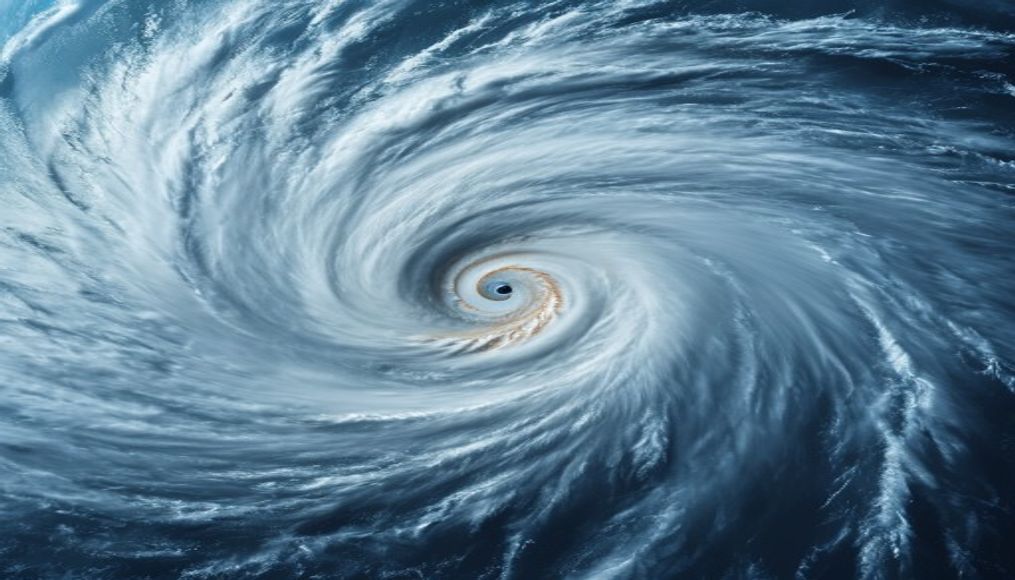
Hurricane eye satellite
1344×768 · AVIF · CC BY 4.0
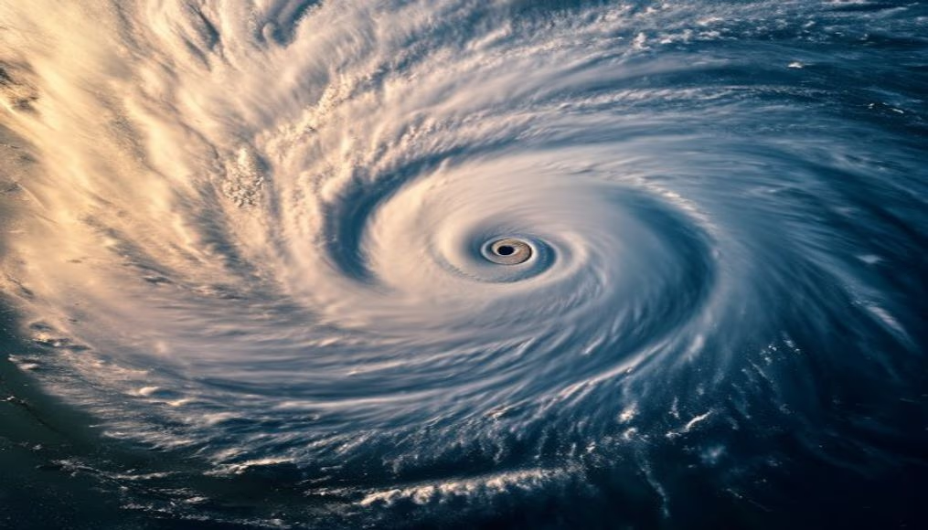
Satellite image shows the eye of a hurricane, a low-pressure center with calm air and clear skies, surrounded by the eyewall with the most intense storms.
About this subject
The eye of a hurricane is a striking feature observed in satellite images. It is an approximately circular region at the storm's center, where winds are calm and skies may be clear. The eye's diameter averages between 30 and 65 kilometers but can exceed 200 kilometers in larger hurricanes. The eye forms when cyclonic winds reach very high speeds, creating an area of subsiding dry air that inhibits cloud formation.
Surrounding the eye is the eyewall, a band of thunderstorms that produces the strongest winds and heaviest rainfall of the hurricane. This region concentrates most of the system's energy. Hurricanes are classified into five categories by the Saffir-Simpson scale, based on wind speed. Category 5, the highest, features winds over 252 km/h, capable of catastrophic destruction.
Weather satellites, such as the GOES series (United States) and Meteosat (Europe), are essential for monitoring hurricanes. They capture images in different wavelengths, including infrared, allowing cloud structure observation even at night. From these images, meteorologists estimate hurricane intensity using the Dvorak technique, which analyzes cloud patterns and cloud-top temperatures.
Interesting facts: Hurricanes are known by different names depending on region. In the Atlantic and Northeast Pacific they are called hurricanes; in the Northwest Pacific, typhoons; and in the Indian Ocean, cyclones. The hurricane eye has been used as a reference point for hurricane hunter flights, aircraft that deliberately fly into the storm to collect data. Atmospheric pressure in the eye is the lowest recorded at the storm's center, sometimes below 900 hPa, as in Typhoon Tip (1979) which reached 870 hPa.
Frequently Asked Questions
What is the eye of a hurricane?
The eye is the low-pressure center of a hurricane, characterized by calm winds and clear skies, surrounded by the eyewall where the most violent storms occur.
How do satellite images help monitor hurricanes?
Satellites like GOES capture visible and infrared images that show cloud structure, allowing estimation of hurricane intensity, location, and movement even at night.
What is the difference between a hurricane, typhoon, and cyclone?
The difference is geographic: hurricanes occur in the Atlantic and Northeast Pacific, typhoons in the Northwest Pacific, and cyclones in the Indian Ocean. They are the same meteorological phenomenon.
Direct URL
https://pub-c7d6a6ea828543ac903a74a341ccb2e1.r2.dev/imagens/hurricane-eye-satellite-travel-photography-p3.avifHow to credit
Include a visible link back to UtilizAí. Copy one of the snippets below:
<a href="https://xn--utiliza-eza.com/en/midia/imagens/hurricane-eye-satellite-travel-photography-p3">Hurricane eye satellite</a> by <a href="https://xn--utiliza-eza.com">UtilizAí</a>, licensed under <a href="https://creativecommons.org/licenses/by/4.0/">CC BY 4.0</a>.
[Hurricane eye satellite](https://xn--utiliza-eza.com/en/midia/imagens/hurricane-eye-satellite-travel-photography-p3) by [UtilizAí](https://xn--utiliza-eza.com), CC BY 4.0
License: CC-BY-4.0