Hurricane eye satellite
1344×768 · JPG · CC BY 4.0
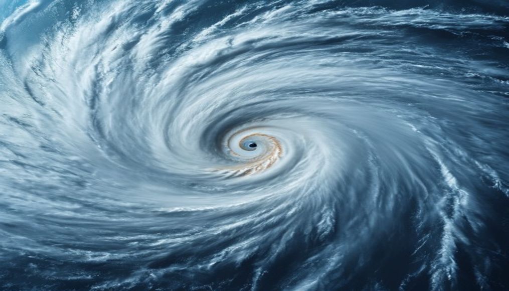
Satellite images of hurricane eyes reveal the symmetric and violent structure of these natural phenomena, crucial for forecasting and monitoring.
About this subject
Hurricanes are intense tropical cyclones that form over warm ocean waters, typically above 26.5°C. The eye of a hurricane is a central calm region, surrounded by the eyewall, where the strongest winds and heaviest rainfall occur. Satellite observation captures this structure in impressive detail using infrared and visible sensors.
Meteorological satellites such as the GOES series (Geostationary Operational Environmental Satellite) provide real-time imagery, essential for issuing warnings and scientific research. National Geographic often features these images, highlighting nature's beauty and power. Understanding eye dynamics helps forecast hurricane intensity and track, saving lives.
Interesting fact: the eye can range from 8 to 200 km in diameter, and its formation relates to angular momentum and latent heat release. Hurricanes like Katrina (2005) and Irma (2017) had well-defined eyes recorded by satellites. The lack of clouds in the eye occurs due to descending air motion.
Frequently Asked Questions
What is the eye of a hurricane?
It is a central calm region, usually clear, surrounded by the eyewall, where winds are weaker. It can span tens of kilometers in diameter.
How do satellites photograph the hurricane eye?
They use infrared and visible sensors to capture cloud temperature and structure. Geostationary satellites like GOES monitor continuously.
Why does the hurricane eye appear so symmetrical in images?
The symmetry results from the system's rotation and uniform energy distribution. Satellite images often enhance this natural symmetry.
Direct URL
https://pub-c7d6a6ea828543ac903a74a341ccb2e1.r2.dev/imagens/hurricane-eye-satellite-national-geographic-style-p4.jpgHow to credit
Include a visible link back to UtilizAí. Copy one of the snippets below:
<a href="https://xn--utiliza-eza.com/en/midia/imagens/hurricane-eye-satellite-national-geographic-style-p4">Hurricane eye satellite</a> by <a href="https://xn--utiliza-eza.com">UtilizAí</a>, licensed under <a href="https://creativecommons.org/licenses/by/4.0/">CC BY 4.0</a>.
[Hurricane eye satellite](https://xn--utiliza-eza.com/en/midia/imagens/hurricane-eye-satellite-national-geographic-style-p4) by [UtilizAí](https://xn--utiliza-eza.com), CC BY 4.0
License: CC-BY-4.0