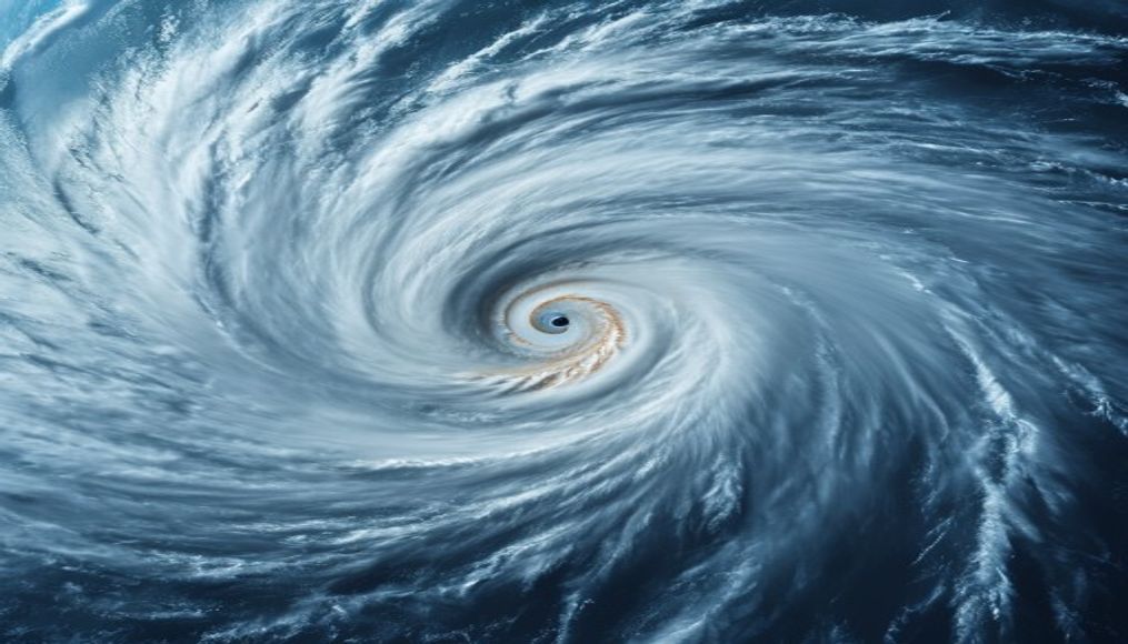
Hurricane eye satellite
1344×768 · AVIF · CC BY 4.0
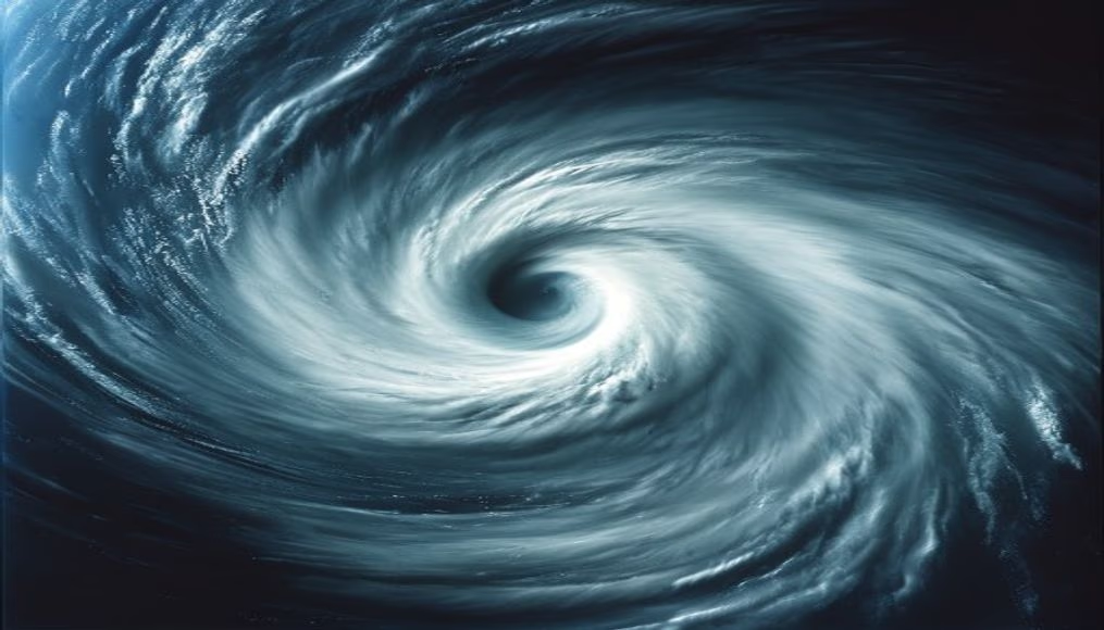
The hurricane eye is a central region of calm and low pressure, surrounded by the eyewall where winds are most intense.
About this subject
The hurricane eye is one of the most striking and studied features of these meteorological phenomena. It is a circular or oval area at the storm's center, where atmospheric pressure is extremely low and winds are relatively calm, contrasting with the violent eyewall surrounding it. The eye forms due to wind dynamics and storm rotation: air converges inward, rises, and forms clouds, but in the core, subsidence occurs, creating a clear, cloud-free region.
Satellite imagery is essential for monitoring the evolution of hurricane eyes, especially over remote ocean areas. Satellites such as the GOES series (United States) and Meteosat (Europe) capture images in visible and infrared spectra, allowing estimation of storm intensity based on eye structure. Well-defined, small, symmetric eyes are associated with more intense hurricanes, while irregular or cloudy eyes indicate weakening.
Interestingly, the eye diameter can range from a few kilometers to over 50 km. Hurricanes with very small and compact eyes, such as Hurricane Wilma (2005), reached the highest intensity ever recorded in the Atlantic, with winds of 295 km/h. The eye is also accompanied by the eyewall, where maximum winds and heaviest rainfall occur. In some cases, an eyewall replacement cycle happens: a new eyewall forms outward and contracts, replacing the old one and altering intensity.
For meteorologists, observing the eye in satellite images is crucial for predicting hurricane track and intensification, issuing warnings, and saving lives. Modern technology even allows aircraft flights into the eye for in-situ data collection, but satellite imagery remains the most comprehensive tool for global surveillance.
Frequently Asked Questions
Why is the hurricane eye calm?
The eye is calm due to subsidence (sinking air) at the storm's center. This downward motion warms and dries the air, clearing clouds and reducing winds near the center.
How do satellites detect a hurricane eye?
Satellites use visible and infrared sensors. The eye appears as a dark, cloud-free region in infrared because surrounding cloud tops are colder. The shape and size help estimate intensity.
What is the largest hurricane eye ever recorded?
The largest eye on record belongs to Typhoon Tip (1979) in the Pacific, with a diameter of about 370 km. In the Atlantic, Hurricane Isabel (2003) had an eye of roughly 65 km.
Direct URL
https://pub-c7d6a6ea828543ac903a74a341ccb2e1.r2.dev/imagens/hurricane-eye-satellite-magazine-editorial-p1.avifHow to credit
Include a visible link back to UtilizAí. Copy one of the snippets below:
<a href="https://xn--utiliza-eza.com/en/midia/imagens/hurricane-eye-satellite-magazine-editorial-p1">Hurricane eye satellite</a> by <a href="https://xn--utiliza-eza.com">UtilizAí</a>, licensed under <a href="https://creativecommons.org/licenses/by/4.0/">CC BY 4.0</a>.
[Hurricane eye satellite](https://xn--utiliza-eza.com/en/midia/imagens/hurricane-eye-satellite-magazine-editorial-p1) by [UtilizAí](https://xn--utiliza-eza.com), CC BY 4.0
License: CC-BY-4.0