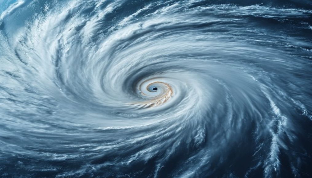
Hurricane eye satellite
1344×768 · AVIF · CC BY 4.0
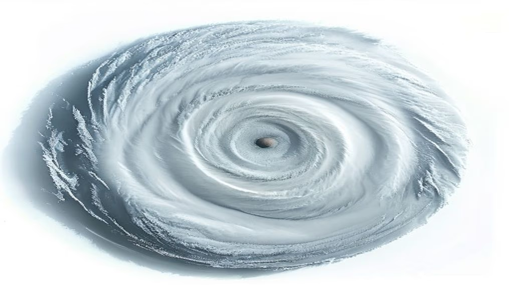
The eye of a hurricane as seen from satellite reveals the stunning structure of one of nature's most powerful phenomena.
About this subject
Hurricanes are tropical cyclones that form over warm ocean waters, typically above 26°C, in regions such as the North Atlantic and Northeast Pacific. The eye of the hurricane is a central area of calm, with a diameter ranging from 30 to 65 kilometers, surrounded by the eyewall, where the most intense winds and heaviest rainfall occur. This structure is crucial for classifying hurricane intensity on the Saffir-Simpson scale, which ranges from 1 to 5.
Meteorological satellites, such as the GOES (Geostationary Operational Environmental Satellite) series operated by NOAA, continuously monitor the formation and evolution of hurricanes. Satellite images in visible and infrared spectra allow meteorologists to identify the eye and eyewall, estimate wind speeds, and predict the storm's path. The eye appears as a clear, cloud-free spot in satellite images, contrasting with the thick clouds around it.
Satellite observation revolutionized hurricane forecasting, enabling days-ahead warnings and saving thousands of lives. Before satellites, detection relied on ships and reconnaissance aircraft. Today, satellites like GOES-16 provide high-resolution images every 30 seconds, capturing rapid changes in the eye's structure, such as eyewall replacement cycles, which can alter hurricane intensity.
Interestingly, a hurricane's eye is not perfectly stable; it can contract or expand, and sometimes multiple concentric eyes appear. These phenomena are studied to improve intensity forecast models. Additionally, the temperature in the eye is higher than that of surrounding clouds due to descending air warmed by compression, a factor that satellite infrared sensors detect accurately.
Frequently Asked Questions
What causes the eye of a hurricane?
The eye forms due to descending air in the center of the storm, which warms and dries the region, dissipating clouds. This creates an area of low pressure and calm, surrounded by the eyewall of intense convection.
How do satellites detect the eye of a hurricane?
Weather satellites use visible and infrared sensors. In visible light, the eye appears as a clear spot. In infrared, they detect temperature: the eye is warmer than surrounding clouds, allowing identification even at night.
Why is satellite monitoring of the hurricane eye important?
Monitoring the eye helps determine hurricane intensity, predict sudden changes in strength, and forecast the track. This is crucial for issuing accurate warnings and evacuations, reducing risks to populations.
Direct URL
https://pub-c7d6a6ea828543ac903a74a341ccb2e1.r2.dev/imagens/hurricane-eye-satellite-commercial-product-photography-p2.avifHow to credit
Include a visible link back to UtilizAí. Copy one of the snippets below:
<a href="https://xn--utiliza-eza.com/en/midia/imagens/hurricane-eye-satellite-commercial-product-photography-p2">Hurricane eye satellite</a> by <a href="https://xn--utiliza-eza.com">UtilizAí</a>, licensed under <a href="https://creativecommons.org/licenses/by/4.0/">CC BY 4.0</a>.
[Hurricane eye satellite](https://xn--utiliza-eza.com/en/midia/imagens/hurricane-eye-satellite-commercial-product-photography-p2) by [UtilizAí](https://xn--utiliza-eza.com), CC BY 4.0
License: CC-BY-4.0