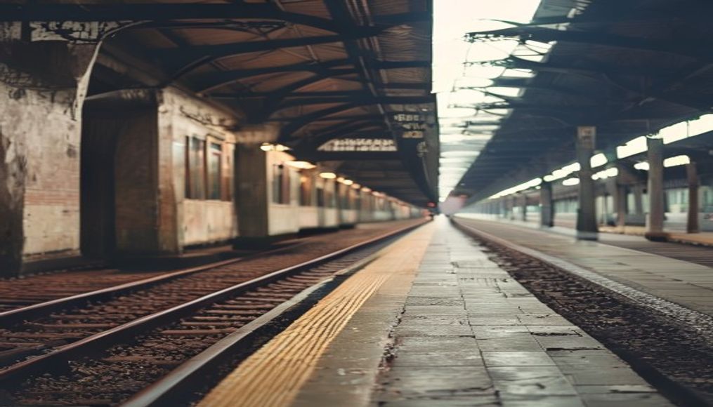
Underground tube london
1344×768 · AVIF · CC BY 4.0
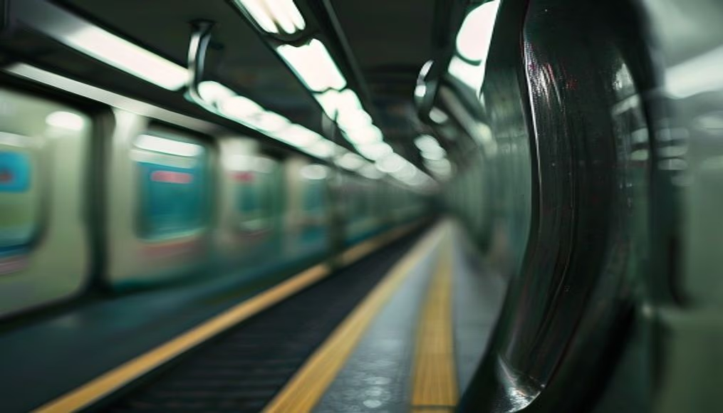
The London Underground, known as the Tube, is the world's oldest underground railway system, carrying millions of passengers daily since 1863.
About this subject
The London Underground, opened on January 10, 1863, was the world's first underground railway, initially running steam trains between Paddington and Farringdon. Today, the network comprises 11 lines, 272 stations, and approximately 402 kilometers of track, serving an average of 5 million passenger journeys per weekday. The nickname "Tube" comes from the cylindrical shape of the deep-level tunnels, bored through London's clay.
An iconic innovation is the Tube map designed by Harry Beck in 1931, which abandoned geographical accuracy for topological clarity, inspiring transit maps worldwide. Notable facts: Hampstead station is the deepest at 58.5 meters below street level, while the shortest distance between consecutive stations is only 260 meters, between Leicester Square and Covent Garden on the Piccadilly line.
Culturally, the London Underground has appeared in films, books, and music, such as in the song "The Tube" by The Jam. During World War II, its stations served as air-raid shelters, protecting thousands of Londoners during the Blitz. Today, the network remains a symbol of efficiency and sustainability, with expansion projects like Crossrail (Elizabeth line) adding new deep-level routes to the city.
Frequently Asked Questions
Which is the oldest line on the London Underground?
The Metropolitan line is the oldest, opened in 1863 between Paddington and Farringdon. Originally the Metropolitan Railway, it set the precedent for underground systems worldwide.
How many London Underground stations are wheelchair accessible?
Around 80 stations (about 30%) have step-free access, though Transport for London plans to increase this number. Many central stations still require stairs or historic lifts.
Why does the Tube map not follow geographical scale?
Harry Beck's 1931 design prioritized readability over geographic accuracy. Straight lines and 45-degree angles help passengers navigate easily, though actual distances between stations are distorted.
Direct URL
https://pub-c7d6a6ea828543ac903a74a341ccb2e1.r2.dev/imagens/underground-tube-london-macro-closeup-p2.avifHow to credit
Include a visible link back to UtilizAí. Copy one of the snippets below:
<a href="https://xn--utiliza-eza.com/en/midia/imagens/underground-tube-london-macro-closeup-p2">Underground tube london</a> by <a href="https://xn--utiliza-eza.com">UtilizAí</a>, licensed under <a href="https://creativecommons.org/licenses/by/4.0/">CC BY 4.0</a>.
[Underground tube london](https://xn--utiliza-eza.com/en/midia/imagens/underground-tube-london-macro-closeup-p2) by [UtilizAí](https://xn--utiliza-eza.com), CC BY 4.0
License: CC-BY-4.0