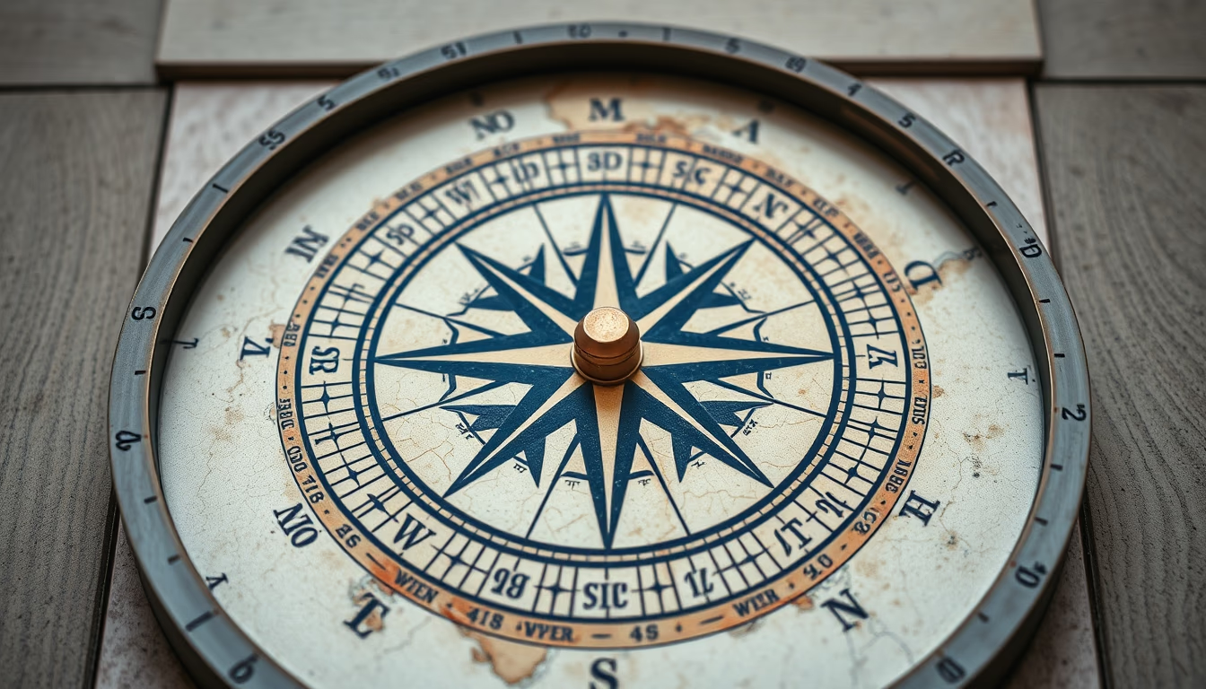
Topographic map compass
1344×768 · AVIF · CC BY 4.0
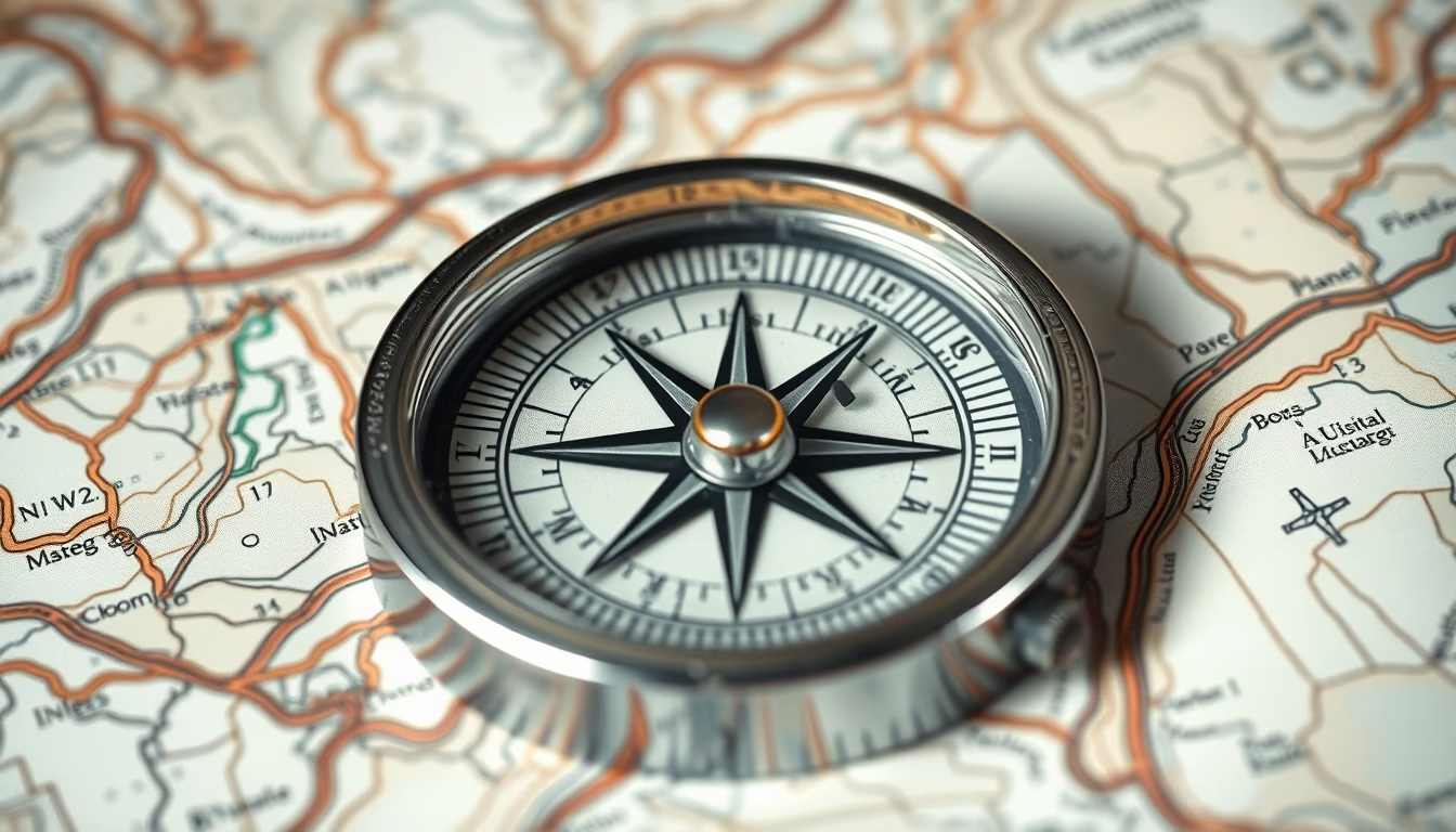
A bússola e o mapa topográfico são ferramentas essenciais para navegação em terrenos acidentados, combinando orientação magnética com representação detalhada do relevo.
Sobre o tema
Mapas topográficos representam o relevo da superfície terrestre por meio de curvas de nível, que conectam pontos de mesma altitude. Essa técnica, desenvolvida no século XVIII, permite visualizar montanhas, vales e declividades. A bússola, inventada na China antiga, utiliza o campo magnético da Terra para indicar o norte magnético, que difere do norte geográfico devido à declinação magnética. Em conjunto, o mapa e a bússola permitem calcular azimutes e orientar-se mesmo sem pontos de referência visíveis.
No Brasil, o Instituto Brasileiro de Geografia e Estatística (IBGE) produz mapas topográficos em escalas como 1:50.000 e 1:100.000, utilizados por profissionais de geologia, engenharia e atividades ao ar livre. A habilidade de ler curvas de nível é crucial: quanto mais próximas, maior a inclinação do terreno. A bússola, por sua vez, deve ser ajustada para a declinação magnética local, que no Brasil varia de -20° a +5° conforme a região.
Curiosidade: o estilo "National Geographic" refere-se à cartografia detalhada e colorida, com sombreamento de relevo e legendas claras, popularizada pela revista. Em 2026, a tendência global de exploração outdoor e sustentabilidade renova o interesse por essas ferramentas analógicas, mesmo com o avanço do GPS, pois não dependem de baterias ou sinal de satélite.
Perguntas frequentes
Qual a diferença entre norte magnético e norte geográfico?
O norte magnético é o ponto para onde a agulha da bússola aponta, variando com o tempo. O norte geográfico (verdadeiro) é fixo no Polo Norte. A diferença angular entre eles é a declinação magnética.
Como calcular a distância no terreno usando um mapa topográfico?
Meça a distância no mapa com régua e multiplique pelo denominador da escala. Por exemplo, em escala 1:50.000, 1 cm no mapa equivale a 500 m no terreno.
O que significam as linhas marrons nos mapas topográficos?
São curvas de nível que indicam elevação. Linhas mais próximas representam declive acentuado; mais afastadas, terreno plano. Curvas mestras (mais grossas) aparecem a cada 5 curvas.
URL direta
https://pub-c7d6a6ea828543ac903a74a341ccb2e1.r2.dev/imagens/topographic-map-compass-national-geographic-style-p4.avifComo creditar
Inclua um link visível de volta pro UtilizAí. Copie um dos snippets abaixo:
<a href="https://xn--utiliza-eza.com/midia/imagens/topographic-map-compass-national-geographic-style-p4">Topographic map compass</a> by <a href="https://xn--utiliza-eza.com">UtilizAí</a>, licensed under <a href="https://creativecommons.org/licenses/by/4.0/">CC BY 4.0</a>.
[Topographic map compass](https://xn--utiliza-eza.com/midia/imagens/topographic-map-compass-national-geographic-style-p4) by [UtilizAí](https://xn--utiliza-eza.com), CC BY 4.0
Licença: CC-BY-4.0