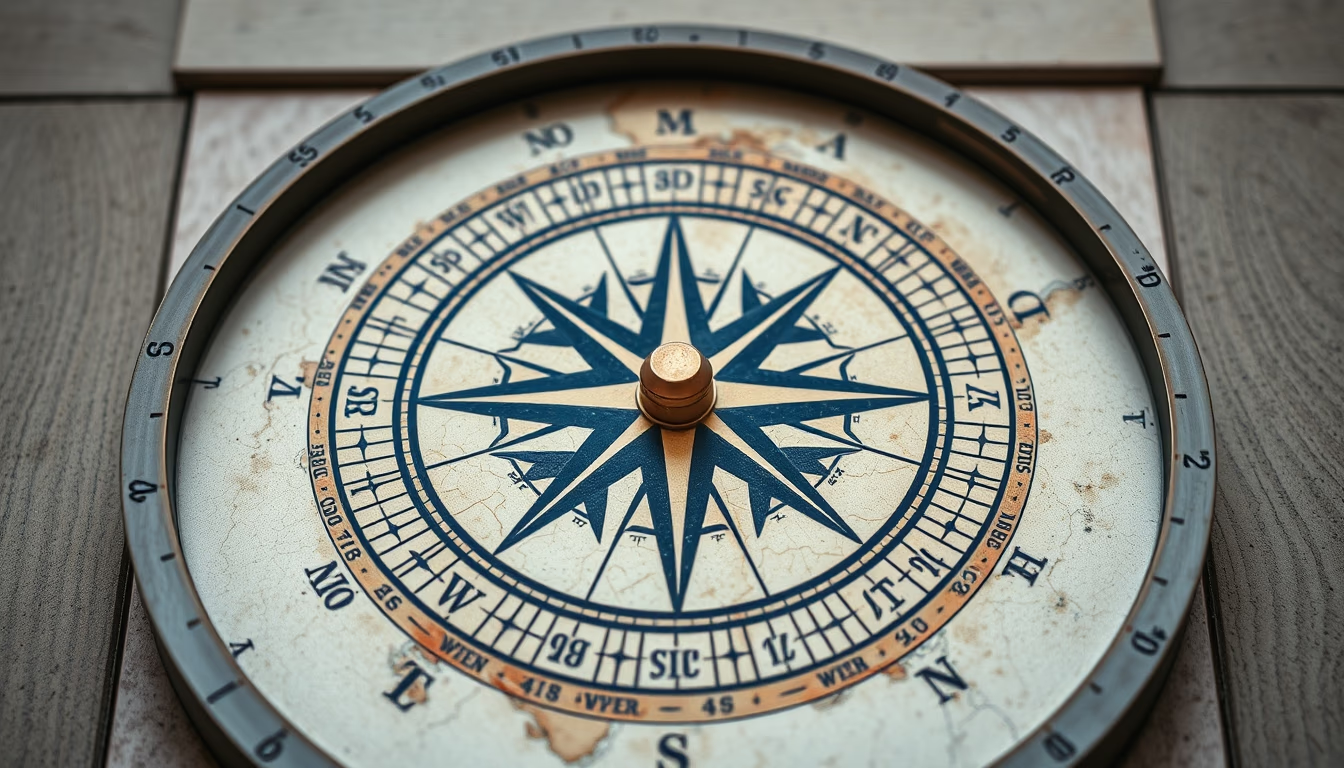
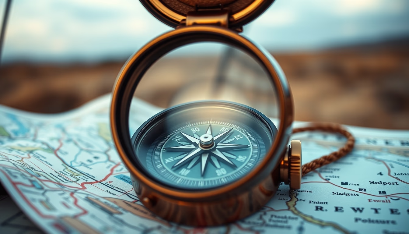
Binoculars on map adventure
1344×768 · AVIF · CC BY 4.0
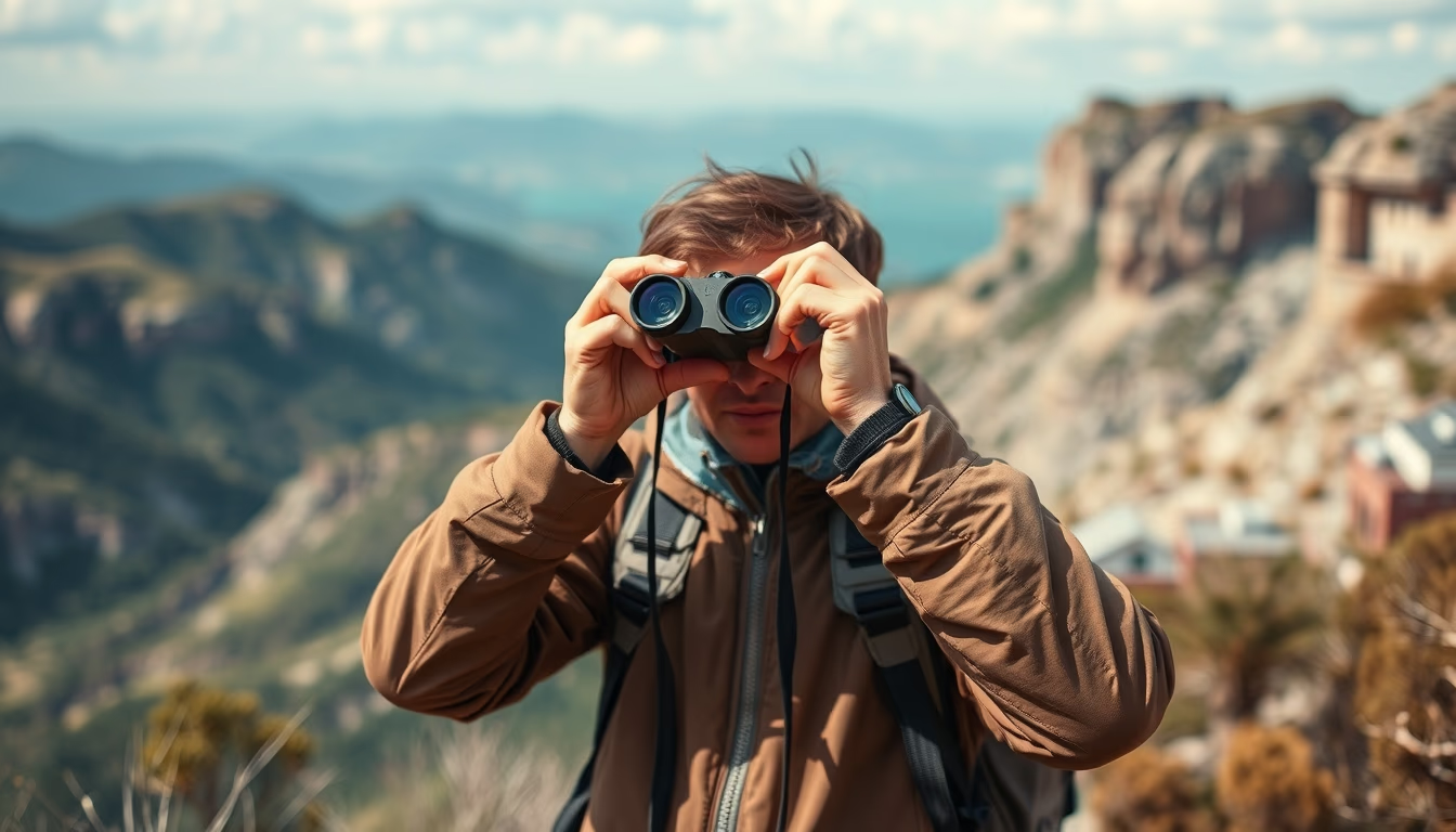
Binoculars and maps are essential tools for adventurers, combining enhanced vision with geographic orientation in outdoor expeditions.
About this subject
Binoculars and maps form a classic duo in outdoor adventure, from birdwatching and mountaineering to remote exploration. The map provides a bird's eye view of the terrain, while binoculars bring distant details into focus, landmarks, wildlife, or hazards. In National Geographic-style expeditions, this combination is standard, especially where precise navigation is critical.
Simple techniques enhance the pairing. With a topographic map, you can use binoculars to locate a peak or valley from the paper, estimating distances based on magnification (e.g., 10x means an object at 1000 meters appears 100 meters away). Binoculars with a reticle (range finder) are even more useful, allowing distance estimation without GPS. On trails, hikers often mark waypoints on the map and confirm them visually with binoculars before proceeding.
For this purpose, binoculars with 8x to 12x magnification, 32, 50 mm objective lenses, and waterproof coating are ideal. Models with a built-in compass, like those used by the military, help align the map with magnetic north. A key specification is the field of view (FOV): wider FOV makes scanning broad landscapes easier, while higher magnification demands steady hands.
Planning an adventure starts before hitting the trail: study the map, identify viewpoints and hazards, and test your binoculars in varied conditions. This preparation reduces navigation errors and enhances safety, turning exploration into a richer, more controlled experience.
Frequently Asked Questions
What binoculars are best for use with maps?
Binoculars with 8x to 10x magnification and 32, 42 mm objective lenses are ideal, balancing field of view and stability. Look for waterproof, anti-reflective coated models for field use. Binoculars with a rangefinder reticle or built-in compass offer extra navigation advantages.
How do I use binoculars for trail navigation?
First, identify a landmark on the map, such as a peak or river. Then, raise the binoculars and visually locate that point. Use the magnification to confirm details and estimate distance using the map's scale. Keep the map in an easily accessible pouch for quick reference.
Are binoculars with a compass actually useful?
Yes, especially in areas without GPS signal or in poor visibility. The built-in compass lets you align the map with magnetic north without a separate tool. Models like military-grade binoculars are calibrated for use with topographic maps.
Direct URL
https://pub-c7d6a6ea828543ac903a74a341ccb2e1.r2.dev/imagens/binoculars-on-map-adventure-national-geographic-style-p6.avifHow to credit
Include a visible link back to UtilizAí. Copy one of the snippets below:
<a href="https://xn--utiliza-eza.com/en/midia/imagens/binoculars-on-map-adventure-national-geographic-style-p6">Binoculars on map adventure</a> by <a href="https://xn--utiliza-eza.com">UtilizAí</a>, licensed under <a href="https://creativecommons.org/licenses/by/4.0/">CC BY 4.0</a>.
[Binoculars on map adventure](https://xn--utiliza-eza.com/en/midia/imagens/binoculars-on-map-adventure-national-geographic-style-p6) by [UtilizAí](https://xn--utiliza-eza.com), CC BY 4.0
License: CC-BY-4.0