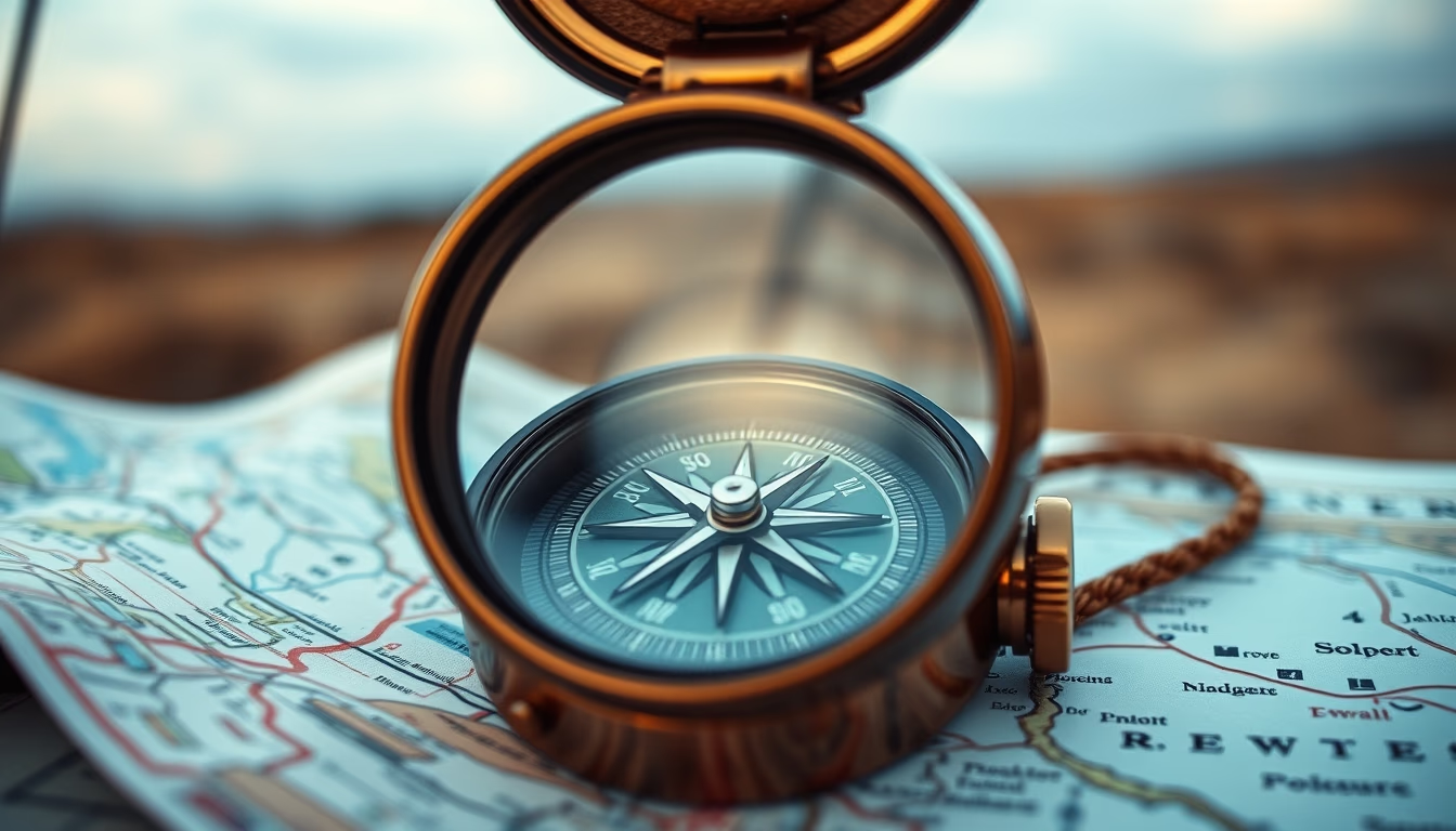
Topographic map compass
1344×768 · AVIF · CC BY 4.0
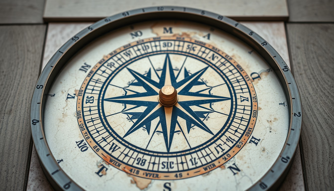
Topographic map and compass: essential tools for outdoor navigation, used by adventurers and professionals on trails and expeditions.
About this subject
A topographic map represents the relief of an area through contour lines, which connect points of equal elevation. These maps are essential for activities such as mountaineering, trekking, orienteering, and route planning in remote areas. Unlike regular maps, they show details like elevations, valleys, peaks, and slopes, allowing the user to visualize the terrain three-dimensionally. In the United States, the USGS produces topographic maps at various scales, commonly used by hikers and federal agencies.
The magnetic compass, invented in ancient China, is an instrument that indicates the Earth's magnetic north. When combined with a topographic map, it enables determining the direction to follow and current location through techniques like triangulation. Modern models, such as the baseplate compass (or orienteering compass), feature rulers, scales, and magnifying lenses to facilitate map reading. Magnetic declination (the difference between magnetic north and true north) must be adjusted to avoid navigation errors.
Reading a topographic map with a compass requires practice. First, align the map to magnetic north using the compass. Then, identify landmarks on the ground (peaks, rivers, roads) and calculate azimuths. This knowledge is crucial to avoid getting lost in forests or mountains without GPS signal. Today, many smartphone apps offer digital topographic maps, but the reliability of a compass and paper map is still unmatched in areas without battery or signal.
Fun fact: in the sport of orienteering, athletes traverse unknown courses using only a map and compass, testing navigation skills and quick thinking. This activity is growing worldwide, with clubs and scouting organizations promoting it as a way to connect with nature and develop problem-solving abilities.
Frequently Asked Questions
What is the difference between magnetic north and true north?
Magnetic north is the point the compass needle points to, which slowly moves due to changes in Earth's magnetic field. True north (geographic north) is the fixed North Pole. The difference is called magnetic declination and varies by location.
How do you use a compass with a topographic map?
First, set the magnetic declination on the compass. Then, place the map on a flat surface and rotate it until the compass needle aligns with the map's north lines. Choose a destination, measure the azimuth on the map, and follow the direction the compass indicates.
What is the purpose of contour lines on a topographic map?
Contour lines show the elevation of the terrain. The closer they are together, the steeper the slope. They help identify valleys, hills, plateaus, and plan safe routes avoiding steep areas.
Direct URL
https://pub-c7d6a6ea828543ac903a74a341ccb2e1.r2.dev/imagens/topographic-map-compass-architectural-photography-p6.avifHow to credit
Include a visible link back to UtilizAí. Copy one of the snippets below:
<a href="https://xn--utiliza-eza.com/en/midia/imagens/topographic-map-compass-architectural-photography-p6">Topographic map compass</a> by <a href="https://xn--utiliza-eza.com">UtilizAí</a>, licensed under <a href="https://creativecommons.org/licenses/by/4.0/">CC BY 4.0</a>.
[Topographic map compass](https://xn--utiliza-eza.com/en/midia/imagens/topographic-map-compass-architectural-photography-p6) by [UtilizAí](https://xn--utiliza-eza.com), CC BY 4.0
License: CC-BY-4.0