Iceland fissure eruption
1344×768 · AVIF · CC BY 4.0
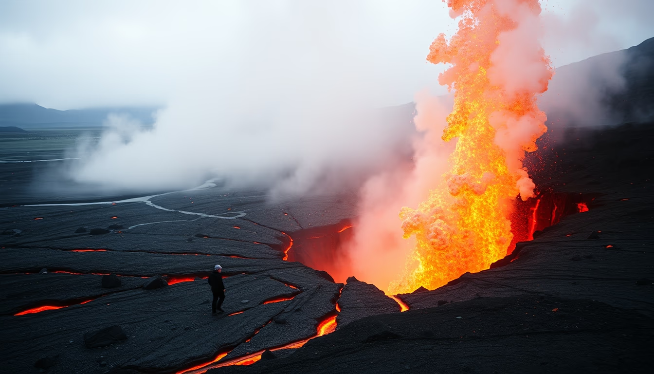
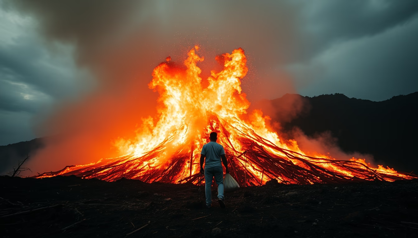
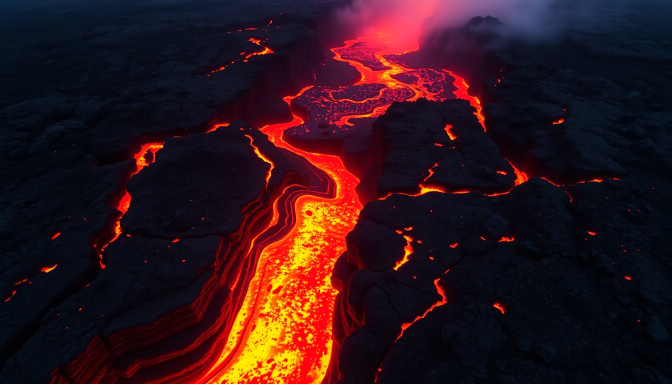
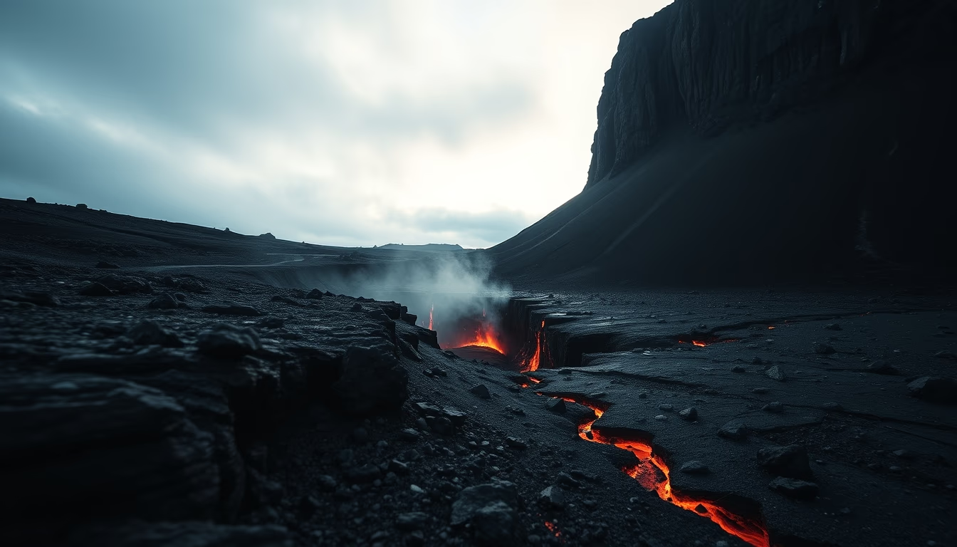
Volcanic fissures in Iceland are linear openings where magma erupts, creating curtains of fire and vast lava fields.
About this subject
Fissure eruptions are among the most distinctive volcanic phenomena in Iceland, occurring along fractures in the Earth's crust that can stretch for several kilometers. Unlike centralized eruptions from a single cone, fissures release lava through multiple aligned vents, creating spectacular curtains of fire. This type of activity is directly linked to Iceland's location on the Mid-Atlantic Ridge, where the Eurasian and North American tectonic plates diverge, and above a mantle hot spot.
Historically, Iceland has witnessed some of the largest fissure eruptions on Earth. The Eldgjá eruption around 934-940 AD produced a fissure about 30 km long and released approximately 18 km³ of lava, making it the largest basaltic eruption in recorded history. The Laki (Lakagígar) eruption in 1783-1784, with a 27 km fissure, not only covered vast areas with lava but also released toxic gases that caused famine and deaths across Europe. More recently, in 2021, the Fagradalsfjall eruption on the Reykjanes peninsula attracted thousands of tourists and scientists, showcasing the beauty and danger of such events.
Fissure eruptions are fundamental to Iceland's geology because they constantly renew the landscape, creating lava fields known as 'hraun' and contributing to the formation of plateaus. The lava from these eruptions is typically basaltic, with low viscosity, allowing it to flow great distances before solidifying. Although they rarely cause major explosions, fissures can release enormous amounts of sulfur dioxide and other gases, impacting climate and public health.
Beyond geology, fissure eruptions hold strong cultural significance. They are part of the Icelandic imagination, appearing in sagas and Norse legends. Constant monitoring is conducted by the Icelandic Meteorological Office and the University of Iceland, using seismographs, GPS, and satellite imagery to predict and track volcanic activity. For visitors, the scars of past eruptions and geothermal areas are must-see attractions that reveal the power of nature.
Frequently Asked Questions
What causes a fissure eruption in Iceland?
Fissure eruptions in Iceland are caused by the diverging Eurasian and North American tectonic plates along the Mid-Atlantic Ridge, combined with a mantle hot spot. This allows basaltic magma to rise through linear fractures in the crust.
What was the largest fissure eruption in Iceland?
The largest recorded fissure eruption in Iceland was the Eldgjá eruption around 934-940 AD, which produced a fissure about 30 km long and released approximately 18 km³ of lava.
Are fissure eruptions dangerous to people?
Although they rarely cause major explosions, fissure eruptions can release toxic gases such as sulfur dioxide, affecting health and climate. The Laki eruption in 1783, for example, caused famine and deaths in Europe due to its emissions.
Direct URL
https://pub-c7d6a6ea828543ac903a74a341ccb2e1.r2.dev/imagens/iceland-fissure-eruption-film-grain-authentic-fresh4.avifHow to credit
Include a visible link back to UtilizAí. Copy one of the snippets below:
<a href="https://xn--utiliza-eza.com/en/midia/imagens/iceland-fissure-eruption-film-grain-authentic-fresh4">Iceland fissure eruption</a> by <a href="https://xn--utiliza-eza.com">UtilizAí</a>, licensed under <a href="https://creativecommons.org/licenses/by/4.0/">CC BY 4.0</a>.
[Iceland fissure eruption](https://xn--utiliza-eza.com/en/midia/imagens/iceland-fissure-eruption-film-grain-authentic-fresh4) by [UtilizAí](https://xn--utiliza-eza.com), CC BY 4.0
License: CC-BY-4.0