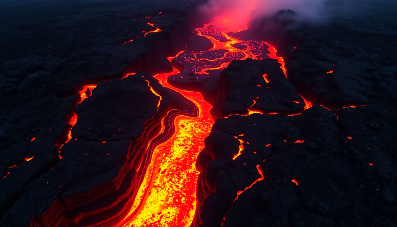
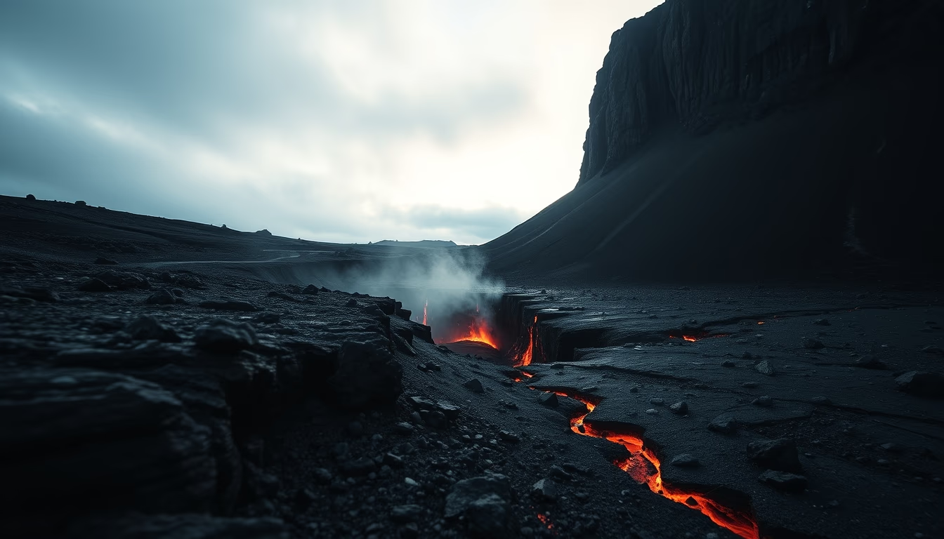
Fuego guatemala explosion
1344×768 · AVIF · CC BY 4.0
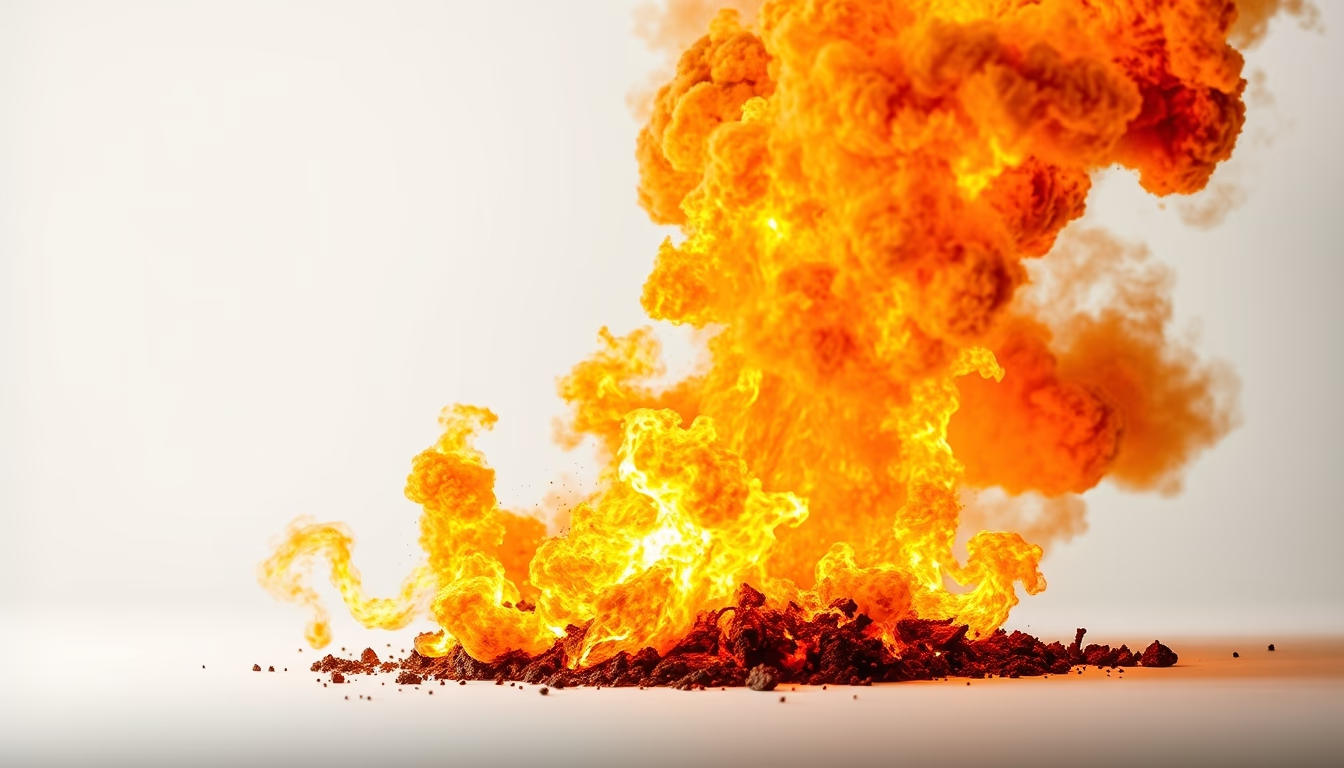
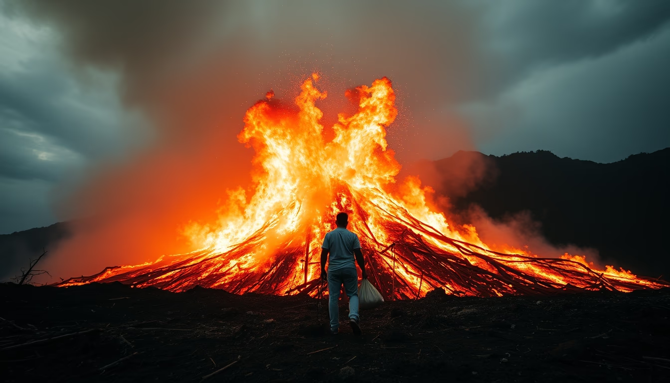
Guatemala's Volcán de Fuego unleashed one of the most devastating eruptions in recent history on June 3, 2018, sending pyroclastic flows into nearby communities.
About this subject
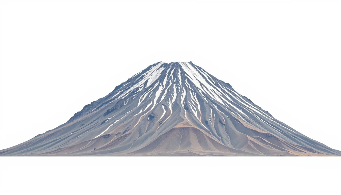
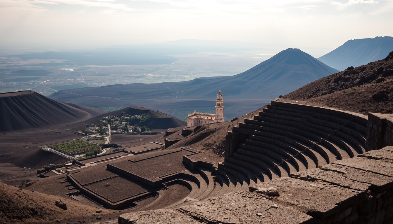
The Volcán de Fuego (Fire Volcano), standing at 3,763 meters (12,346 feet), is one of Central America's most active stratovolcanoes. Located about 40 kilometers west of Guatemala City, near the colonial city of Antigua, it is part of the Pacific Ring of Fire, a region known for intense seismic and volcanic activity. Its deadliest eruption in decades occurred on June 3, 2018, when a powerful explosion generated pyroclastic flows, fast-moving clouds of gas and incandescent material, that descended the slopes at speeds exceeding 300 km/h, burying villages like San Miguel Los Lotes and El Rodeo. The official toll counted at least 110 dead and over 200 missing, with thousands displaced.
The 2018 eruption was not an isolated event: Fuego has been erupting frequently since the Spanish arrival in the 16th century, with historical records of violent activity in 1581, 1717, 1974, and 2012. Its eruptive pattern is characterized by Strombolian explosions and continuous ash emissions, affecting agriculture and aviation. In 2018, the combination of high magma supply rich in gases and the opening of new fissures on the southwestern flank amplified the disaster. Inadequate early warning systems and settlement in high-risk zones contributed to the tragedy.
Geologically, Fuego is a subduction-zone volcano formed by the collision of the Cocos Plate with the Caribbean Plate. Its lava is andesitic, rich in silica, explaining its high viscosity and explosive potential. After the 2018 eruption, the volcano remained active, with minor explosions and ash exhalations. Monitoring is conducted by the National Institute of Seismology, Volcanology, Meteorology, and Hydrology of Guatemala (INSIVUMEH), which maintains seismic stations and cameras to detect changes in eruptive patterns.
The Fuego disaster sparked discussions about prevention policies and resettlement, as well as an international appeal for aid. Images and videos of the eruption circulated globally, showing nature's fury and the vulnerability of populations living on the slopes of active volcanoes. Fuego remains a powerful reminder of the need to respect natural limits and adopt careful urban planning in hazard-prone areas.
Frequently Asked Questions
How many people died in the Volcán de Fuego eruption in 2018?
The official death toll from the June 3, 2018 eruption was at least 110 confirmed, with over 200 missing. The exact number remains uncertain due to difficulty in recovering remains and accessing buried areas.
What causes the explosive eruptions of Volcán de Fuego?
Fuego sits above a subduction zone where the Cocos Plate dives under the Caribbean Plate. Andesitic magma, rich in silica and gases, builds pressure until released in violent explosions, especially when interacting with groundwater or new fissures.
How is Volcán de Fuego's activity monitored currently?
INSIVUMEH monitors the volcano with seismic stations, cameras, and gas measurements. Alerts are issued by activity levels (green, yellow, orange, red). The population is advised to evacuate when increases in tremors or ash emissions are detected.
Direct URL
https://pub-c7d6a6ea828543ac903a74a341ccb2e1.r2.dev/imagens/fuego-guatemala-explosion-studio-still-life-fresh2.avifHow to credit
Include a visible link back to UtilizAí. Copy one of the snippets below:
<a href="https://xn--utiliza-eza.com/en/midia/imagens/fuego-guatemala-explosion-studio-still-life-fresh2">Fuego guatemala explosion</a> by <a href="https://xn--utiliza-eza.com">UtilizAí</a>, licensed under <a href="https://creativecommons.org/licenses/by/4.0/">CC BY 4.0</a>.
[Fuego guatemala explosion](https://xn--utiliza-eza.com/en/midia/imagens/fuego-guatemala-explosion-studio-still-life-fresh2) by [UtilizAí](https://xn--utiliza-eza.com), CC BY 4.0
License: CC-BY-4.0