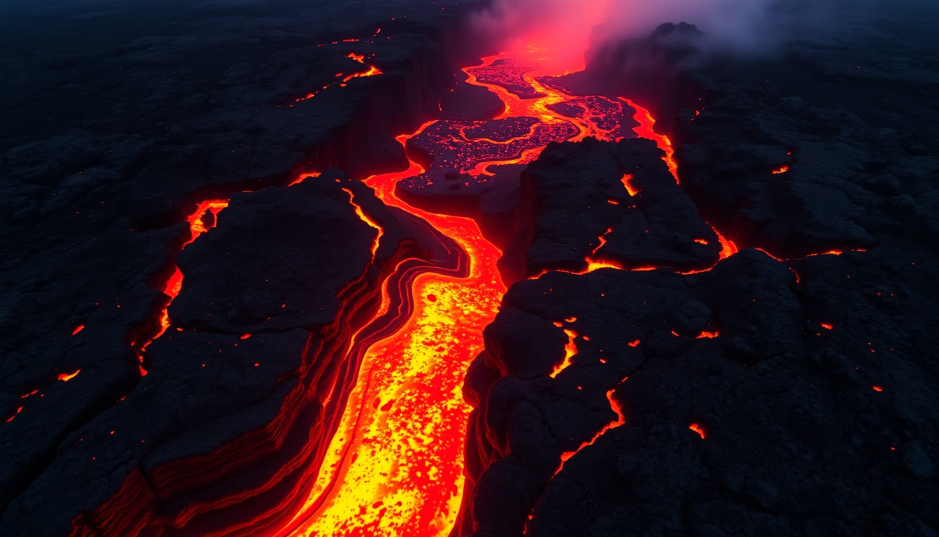
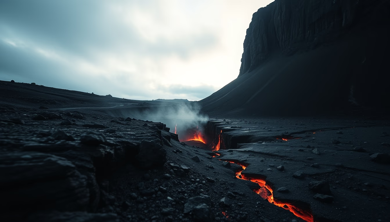
Fuego guatemala explosion
1344×768 · AVIF · CC BY 4.0
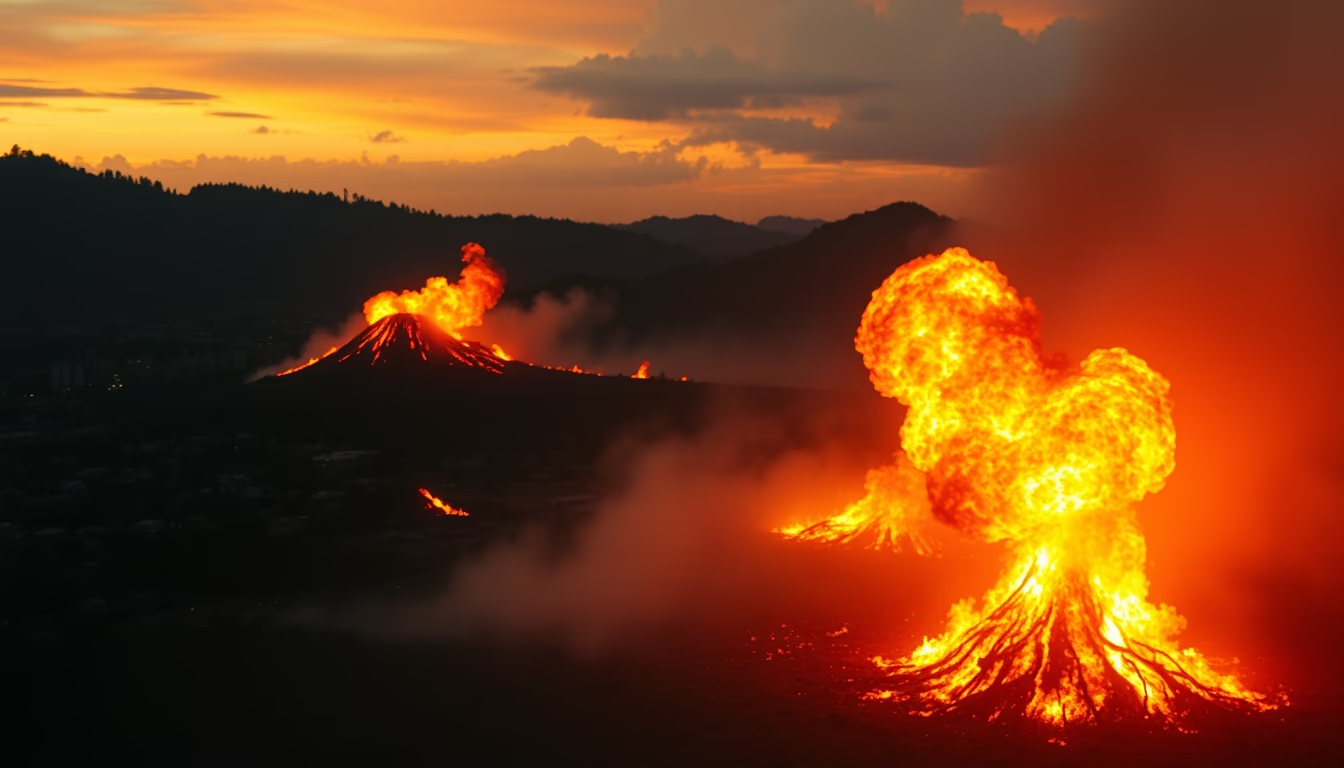
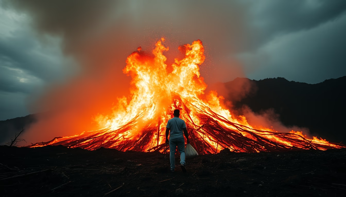
Explosion of Guatemala's Volcán de Fuego, one of the most active stratovolcanoes in Central America, in a violent 2024 eruption.
About this subject
Volcán de Fuego, located in southern Guatemala, is one of the most active and dangerous volcanoes in the world. Standing at 3,763 meters, it is part of the Central American Volcanic Belt, formed by the subduction of the Cocos Plate beneath the Caribbean Plate. Its most devastating eruption occurred in June 2018, when a pyroclastic flow killed hundreds and buried entire communities such as San Miguel Los Lotes. Since then, the volcano has remained active, with frequent explosions emitting ash and lava flows.
In 2024, a powerful new explosion captured global attention. The eruption produced an ash column reaching over 10 kilometers high, forcing evacuations in nearby areas. Guatemalan authorities issued orange alerts and are monitoring the situation in real time. Volcán de Fuego, meaning 'volcano of fire' in Spanish, is one of three active volcanoes in the region, alongside Pacaya and Santiaguito. Its activity is studied by volcanologists as a classic example of island-arc volcanism.
The area around the volcano is densely populated, with coffee and sugarcane plantations on its fertile slopes. Despite the risks, local communities coexist with the threat, adapting evacuation routes and early warning systems. The 2024 eruption underscores the need for continuous monitoring and disaster preparedness, a persistent challenge for Guatemala, which hosts 33 volcanoes, only three of which are currently active.
Frequently Asked Questions
What causes the high activity of Volcán de Fuego?
Volcán de Fuego is located in a subduction zone where the Cocos Plate dives beneath the Caribbean Plate. This process generates gas- and silica-rich magma, resulting in frequent explosive eruptions.
How many people died in the 2018 eruption?
The June 2018 eruption officially killed 431 people, but many missing were never found, raising the estimated number to around 1,500.
What are the current risks for nearby communities?
The main risks are pyroclastic flows, volcanic ash, and lahars (mudflows). Authorities maintain warning systems and evacuation routes, but the unpredictability of eruptions requires constant monitoring.
Direct URL
https://pub-c7d6a6ea828543ac903a74a341ccb2e1.r2.dev/imagens/fuego-guatemala-explosion-cinematic-wide-shot-fresh9.avifHow to credit
Include a visible link back to UtilizAí. Copy one of the snippets below:
<a href="https://xn--utiliza-eza.com/en/midia/imagens/fuego-guatemala-explosion-cinematic-wide-shot-fresh9">Fuego guatemala explosion</a> by <a href="https://xn--utiliza-eza.com">UtilizAí</a>, licensed under <a href="https://creativecommons.org/licenses/by/4.0/">CC BY 4.0</a>.
[Fuego guatemala explosion](https://xn--utiliza-eza.com/en/midia/imagens/fuego-guatemala-explosion-cinematic-wide-shot-fresh9) by [UtilizAí](https://xn--utiliza-eza.com), CC BY 4.0
License: CC-BY-4.0