Compass on map outdoor
1344×768 · AVIF · CC BY 4.0
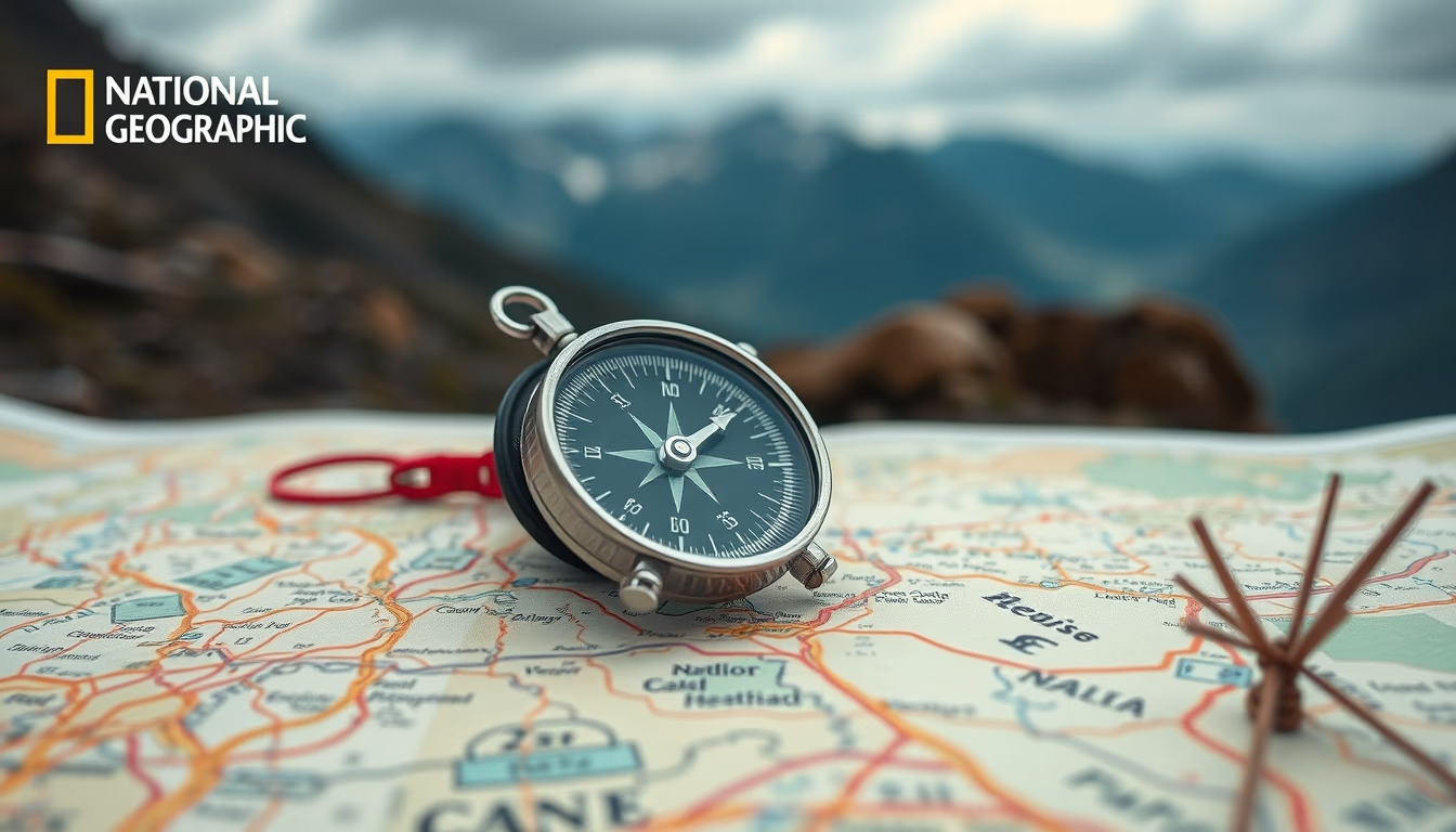
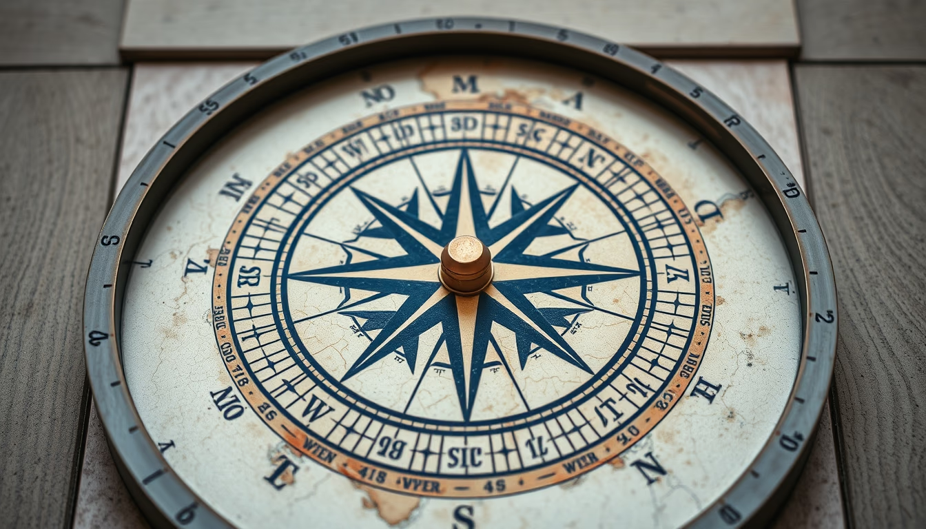
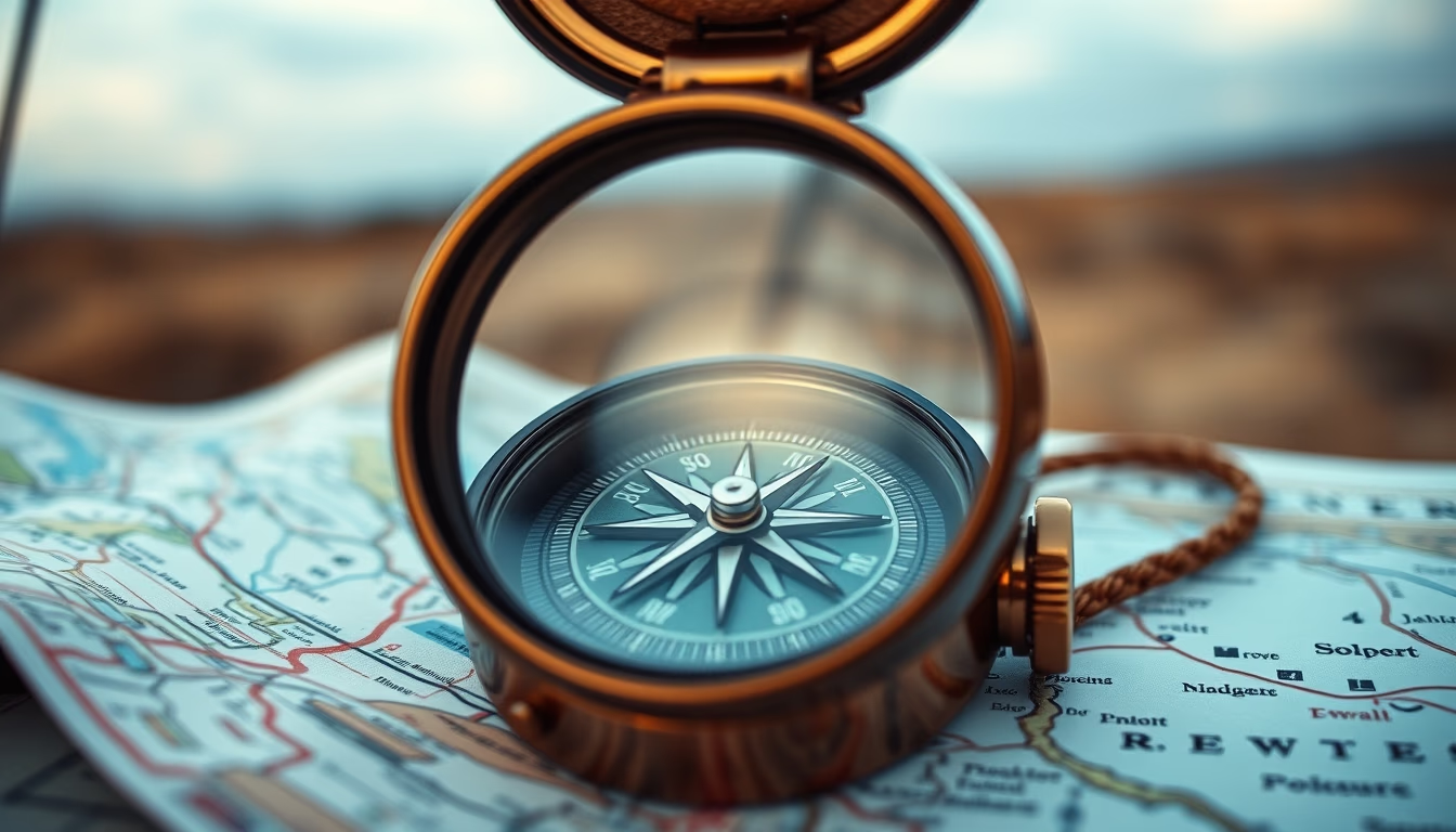
Compass and map: essential tools for outdoor navigation, used by adventurers and explorers.
About this subject
The compass is an orientation instrument that uses Earth's magnetic field to indicate magnetic north. Since its invention in ancient China during the Han dynasty, it revolutionized maritime and terrestrial navigation. Combined with a topographic map, it allows users to determine directions, plan routes, and avoid getting lost in natural environments.
Topographic maps, such as those produced by the U.S. Geological Survey (USGS) or IBGE in Brazil, represent relief, hydrography, vegetation, and man-made features. They use contour lines to indicate elevation and standardized symbols. To correctly use a compass with a map, one must adjust for magnetic declination, the difference between magnetic north and true north, which varies by geographic location.
Activities such as hiking, mountaineering, geocaching, and orienteering rely on these tools. Despite the prevalence of GPS, learning traditional navigation is considered an essential survival skill, as it does not depend on batteries or satellite signal. The International Orienteering Federation (IOF) hosts competitions where athletes use a compass and map to navigate unfamiliar courses in the shortest time possible.
Frequently Asked Questions
What is the difference between magnetic north and true north?
Magnetic north is where the compass needle points, located near but constantly moving relative to the geographic North Pole. True north is the Earth's rotational axis. The angular difference is called magnetic declination.
How do you adjust a compass for magnetic declination?
Many compasses have an adjustable declination ring. Find the declination value for your area (available on maps or official websites) and rotate the ring to that angle. This allows the compass to point to true north directly.
What are the main advantages of knowing how to use a compass and map over GPS?
Independence from batteries and satellite signal, higher reliability in remote areas, and a deeper understanding of the terrain. It also develops a sense of direction and self-confidence in outdoor activities.
Direct URL
https://pub-c7d6a6ea828543ac903a74a341ccb2e1.r2.dev/imagens/compass-on-map-outdoor-national-geographic-style-p5.avifHow to credit
Include a visible link back to UtilizAí. Copy one of the snippets below:
<a href="https://xn--utiliza-eza.com/en/midia/imagens/compass-on-map-outdoor-national-geographic-style-p5">Compass on map outdoor</a> by <a href="https://xn--utiliza-eza.com">UtilizAí</a>, licensed under <a href="https://creativecommons.org/licenses/by/4.0/">CC BY 4.0</a>.
[Compass on map outdoor](https://xn--utiliza-eza.com/en/midia/imagens/compass-on-map-outdoor-national-geographic-style-p5) by [UtilizAí](https://xn--utiliza-eza.com), CC BY 4.0
License: CC-BY-4.0