Topographic map compass
1344×768 · AVIF · CC BY 4.0
Learn how topographic maps and compasses work together for outdoor navigation, with orientation and safety tips.
About this subject
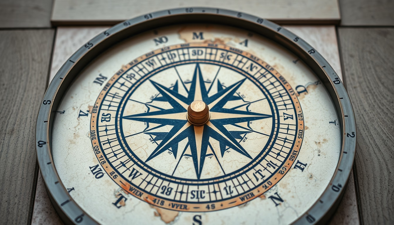
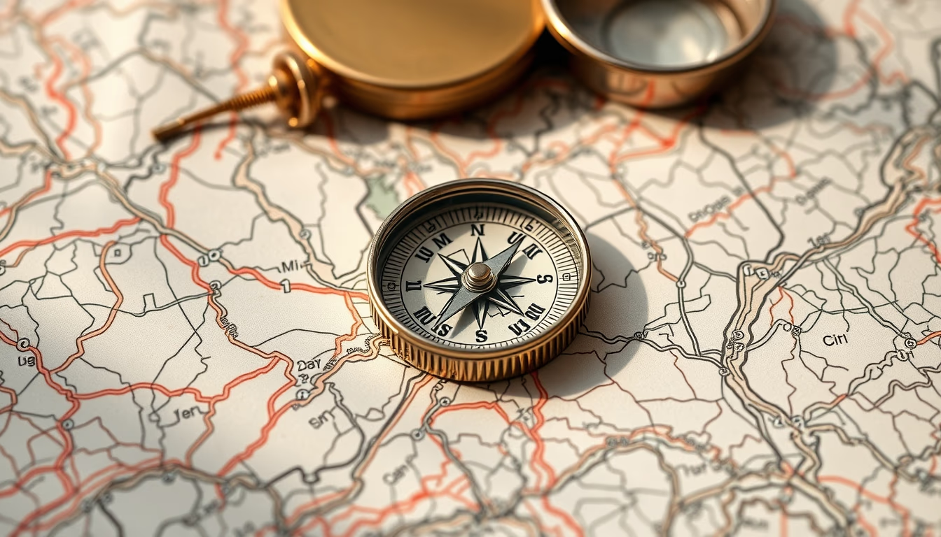
Topographic maps represent the terrain's relief through contour lines, which connect points of equal elevation. These maps are essential for outdoor activities like trekking, mountaineering, and geocaching, as they allow route planning considering slope steepness. Each contour line represents a specific elevation, usually at intervals of 5 to 50 meters, depending on the map scale. When combined with a compass, users can determine their approximate location, estimate distances, and avoid hazardous areas such as steep cliffs or closed valleys.
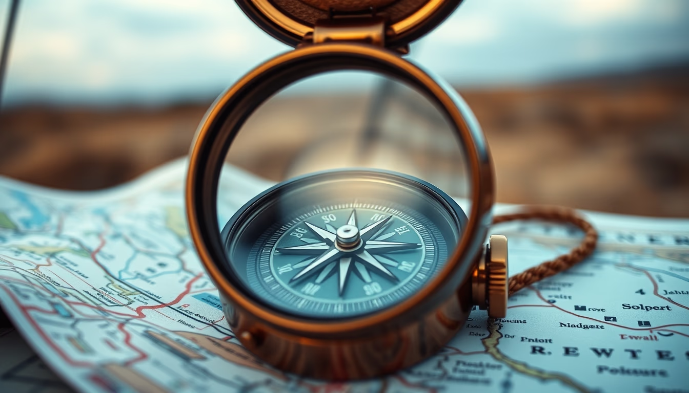
The compass uses Earth's magnetic field to indicate magnetic north, which differs slightly from geographic north (a difference called magnetic declination). For precise navigation, the compass must be adjusted for local declination, which is provided on topographic maps. Techniques like triangulation help determine exact position using visible landmarks. Moreover, the combined use of map and compass is vital in areas without GPS signal, such as dense forests or remote regions.
In Brazil, the Brazilian Institute of Geography and Statistics (IBGE) produces topographic maps at scales like 1:50,000 and 1:100,000, covering most of the country. These maps are used by environmental agencies, the military, and adventurers. Orienteering is taught in mountaineering clubs and scouting groups, covering skills from reading coordinates to calculating azimuths. Mastering these tools enhances autonomy and safety on expeditions, reducing the risk of getting lost.
Frequently Asked Questions
What do the curved lines on a topographic map mean?
The curved lines are contour lines that represent elevation. The closer they are together, the steeper the slope.
How do I use a compass with a topographic map?
First, adjust your compass for local magnetic declination. Then, align the compass edge with your start and destination points on the map, rotate the bezel until north-south lines align with map meridians, and follow the direction of the travel arrow.
What scale is best for long hikes?
Scales like 1:50,000 are optimal for hiking, as they show terrain details and trails without covering too large an area. Smaller scales, like 1:100,000, cover broader regions with less detail.
Direct URL
https://pub-c7d6a6ea828543ac903a74a341ccb2e1.r2.dev/imagens/topographic-map-compass-magazine-editorial-p1.avifHow to credit
Include a visible link back to UtilizAí. Copy one of the snippets below:
<a href="https://xn--utiliza-eza.com/en/midia/imagens/topographic-map-compass-magazine-editorial-p1">Topographic map compass</a> by <a href="https://xn--utiliza-eza.com">UtilizAí</a>, licensed under <a href="https://creativecommons.org/licenses/by/4.0/">CC BY 4.0</a>.
[Topographic map compass](https://xn--utiliza-eza.com/en/midia/imagens/topographic-map-compass-magazine-editorial-p1) by [UtilizAí](https://xn--utiliza-eza.com), CC BY 4.0
License: CC-BY-4.0