Salar de uyuni reflection
1344×768 · AVIF · CC BY 4.0
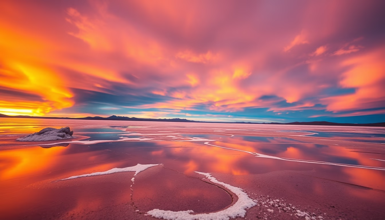
The Salar de Uyuni in Bolivia is the world's largest salt flat, renowned for its mirror effect during the rainy season.
About this subject
The Salar de Uyuni, located in the Bolivian Altiplano at an altitude of 3,656 meters, covers an area of approximately 10,582 square kilometers. Formed from the evaporation of prehistoric lakes such as Lake Minchin about 40,000 years ago, it has a salt crust that can reach up to 10 meters in thickness. Beneath this crust lies a brine rich in lithium, estimated to hold about 70% of the world's reserves, making the region crucial for battery production.
During the rainy season from December to April, a thin layer of water covers the surface, creating a natural mirror that perfectly reflects the sky, clouds, and surrounding mountains. This phenomenon attracts thousands of tourists annually and is one of the most photographed destinations in South America. The surface's flatness is also used by NASA scientists to calibrate satellite altimeters that measure Earth's surface height with precision. The salt flat is one of the flattest places on Earth, with an altitude variation of less than 1 meter across its entire expanse.
Beyond the mirror effect, Salar de Uyuni features islands covered with giant cacti, such as Incahuasi Island, where cacti can reach up to 12 meters in height and be over a thousand years old. The Train Cemetery on the outskirts of Uyuni displays abandoned locomotives from the 19th century, remnants of the mining boom. The world's first salt hotel, Hotel de Sal Playa Blanca, was built in the area in the 1990s using salt blocks extracted from the salt flat itself.
Frequently Asked Questions
Why does the Salar de Uyuni reflect the sky like a mirror?
During the rainy season, a thin layer of water covers the flat salt crust, creating a perfect reflection of the sky and clouds due to the extreme flatness of the terrain.
What is the scientific importance of the Salar de Uyuni?
Its exceptionally flat and uniform surface is used by satellites as a calibration site for altimeters, enabling precise measurements of Earth's elevation and sea levels.
What is Incahuasi Island?
It is a rocky island in the middle of Salar de Uyuni, covered with giant cacti, some over a thousand years old, offering panoramic views of the surrounding salt flat.
Direct URL
https://pub-c7d6a6ea828543ac903a74a341ccb2e1.r2.dev/imagens/salar-de-uyuni-reflection-long-exposure-p6.avifHow to credit
Include a visible link back to UtilizAí. Copy one of the snippets below:
<a href="https://xn--utiliza-eza.com/en/midia/imagens/salar-de-uyuni-reflection-long-exposure-p6">Salar de uyuni reflection</a> by <a href="https://xn--utiliza-eza.com">UtilizAí</a>, licensed under <a href="https://creativecommons.org/licenses/by/4.0/">CC BY 4.0</a>.
[Salar de uyuni reflection](https://xn--utiliza-eza.com/en/midia/imagens/salar-de-uyuni-reflection-long-exposure-p6) by [UtilizAí](https://xn--utiliza-eza.com), CC BY 4.0
License: CC-BY-4.0