Compass on map outdoor
1344×768 · AVIF · CC BY 4.0
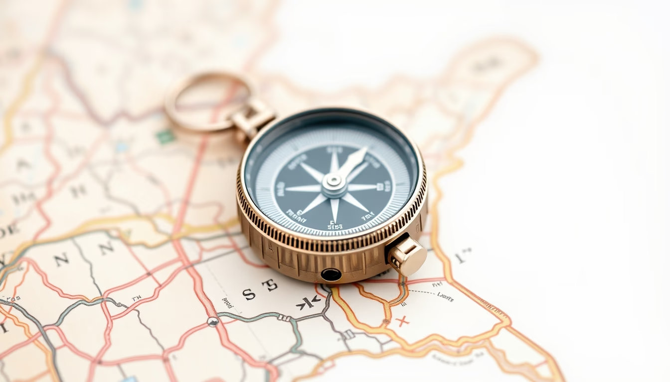
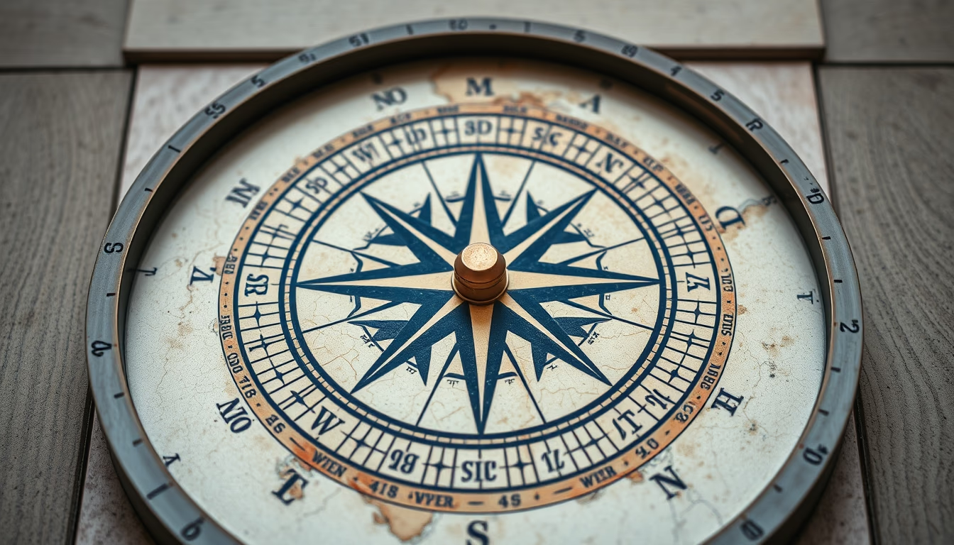
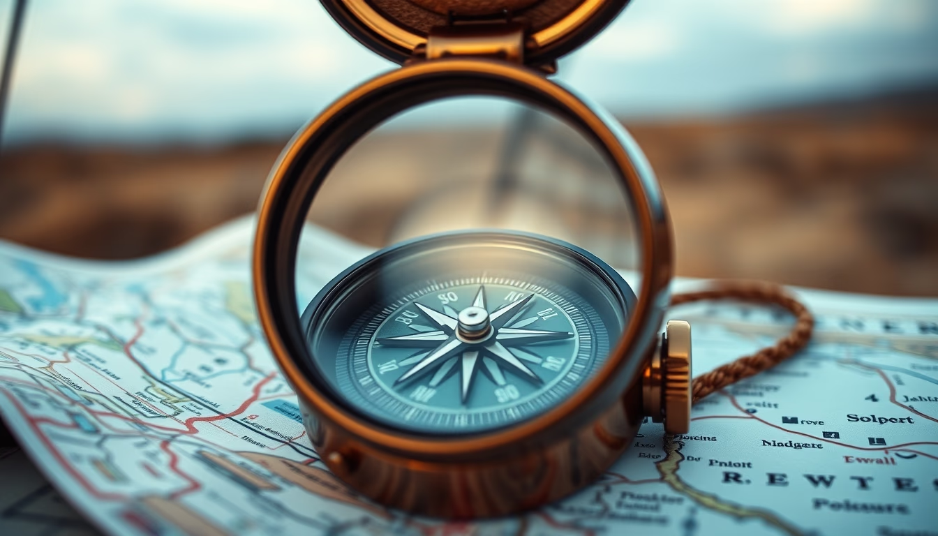
Compass on map outdoors: essential orientation tool for land navigation, used by adventurers and professionals.
About this subject
The compass is one of the oldest and most reliable navigation instruments. Invented in China during the Han dynasty (2nd century BC), it was initially used for divination before being applied to maritime navigation. In terrestrial contexts, the compass became indispensable for outdoor activities such as hiking, camping, and orienteering.
The operating principle is simple: a magnetized needle aligns with the Earth's magnetic field, pointing to the magnetic north pole. However, there is a difference between magnetic north and true (geographic) north, known as magnetic declination. For accurate use, the map must be adjusted for local declination. In Brazil, for instance, declination varies from 20° to 25° west across most of the territory, depending on the region.
In outdoor expeditions, the compass is used together with a topographic map. The orientation process involves identifying landmarks, plotting azimuths, and calculating distances. Orienteering competitions require advanced compass skills. In ecotourism and scientific expeditions, the compass is a critical safety item, especially in areas without GPS signal.
Interesting fact: there are compasses adapted for nighttime use with luminous dials, and models with magnifying lenses for map reading. Liquid-filled compasses dampen needle oscillation for stable readings, ideal for outdoor environments.
Frequently Asked Questions
How to use a compass with a map?
Align the map with north. Rotate the compass bezel to the desired azimuth. Hold the compass horizontally and turn your body until the needle points to magnetic north. Follow the direction.
What is magnetic declination?
It is the angular difference between magnetic north (where the compass points) and true north (geographic). It varies by location and changes over time.
What is the difference between a compass and GPS?
A compass requires no batteries or satellite signal, working reliably anywhere. GPS provides precise coordinates but can fail in enclosed areas or without coverage.
Direct URL
https://pub-c7d6a6ea828543ac903a74a341ccb2e1.r2.dev/imagens/compass-on-map-outdoor-commercial-product-photography-p3.avifHow to credit
Include a visible link back to UtilizAí. Copy one of the snippets below:
<a href="https://xn--utiliza-eza.com/en/midia/imagens/compass-on-map-outdoor-commercial-product-photography-p3">Compass on map outdoor</a> by <a href="https://xn--utiliza-eza.com">UtilizAí</a>, licensed under <a href="https://creativecommons.org/licenses/by/4.0/">CC BY 4.0</a>.
[Compass on map outdoor](https://xn--utiliza-eza.com/en/midia/imagens/compass-on-map-outdoor-commercial-product-photography-p3) by [UtilizAí](https://xn--utiliza-eza.com), CC BY 4.0
License: CC-BY-4.0