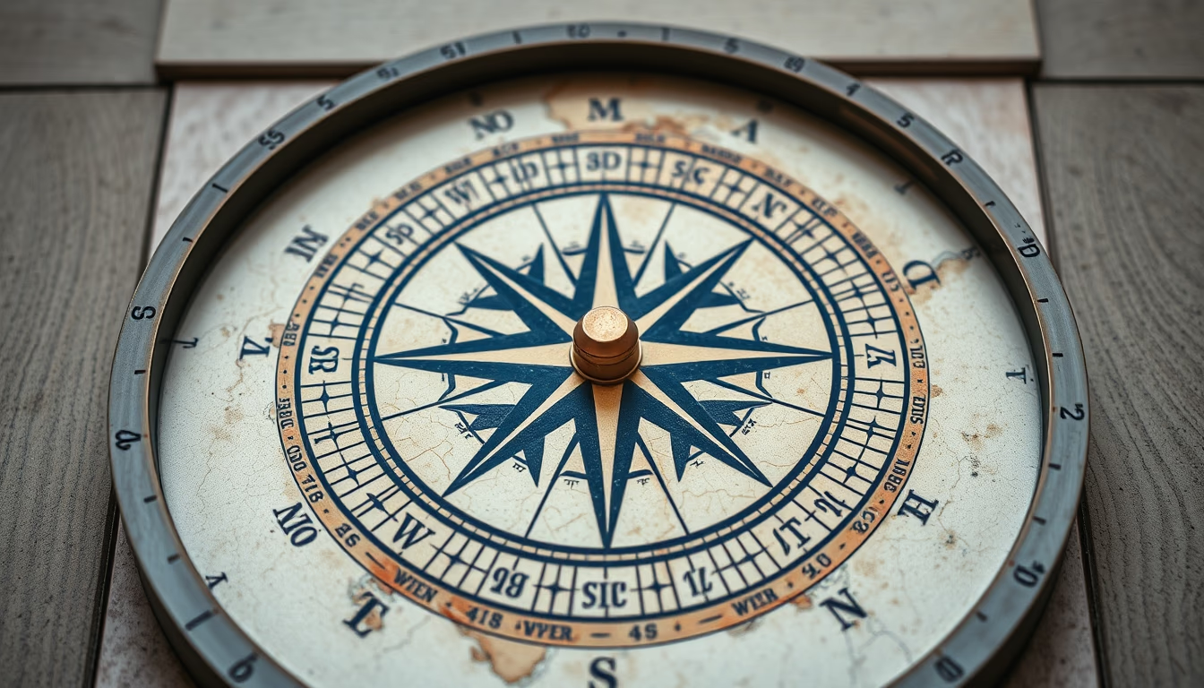
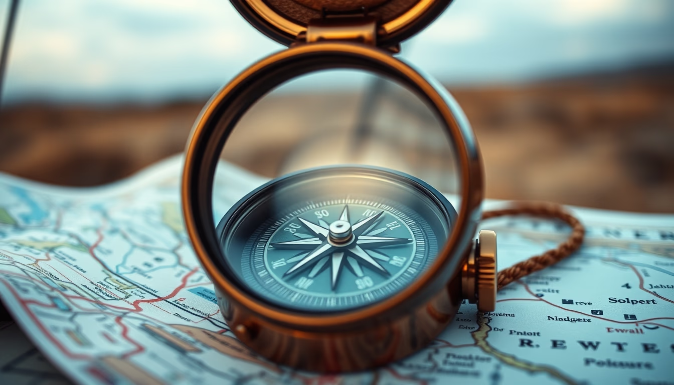
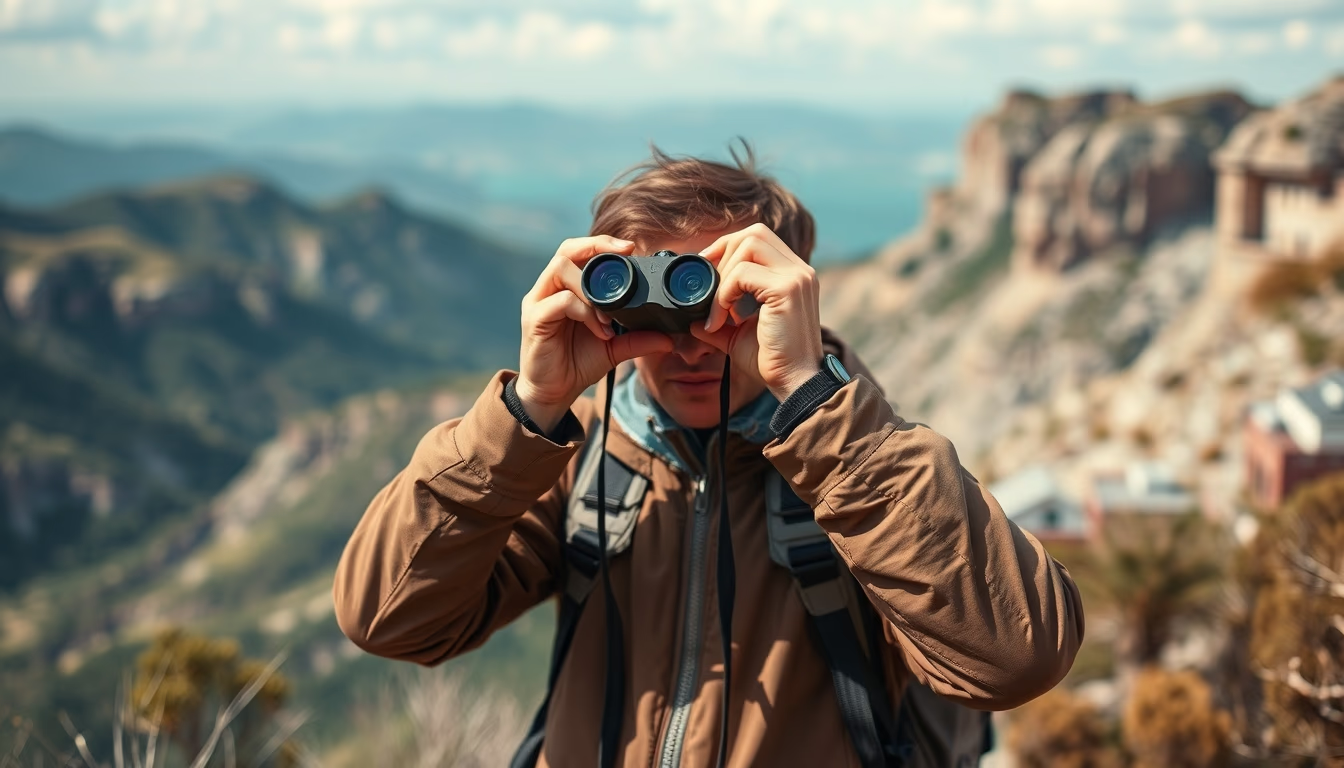
Binoculars on map adventure
1344×768 · AVIF · CC BY 4.0
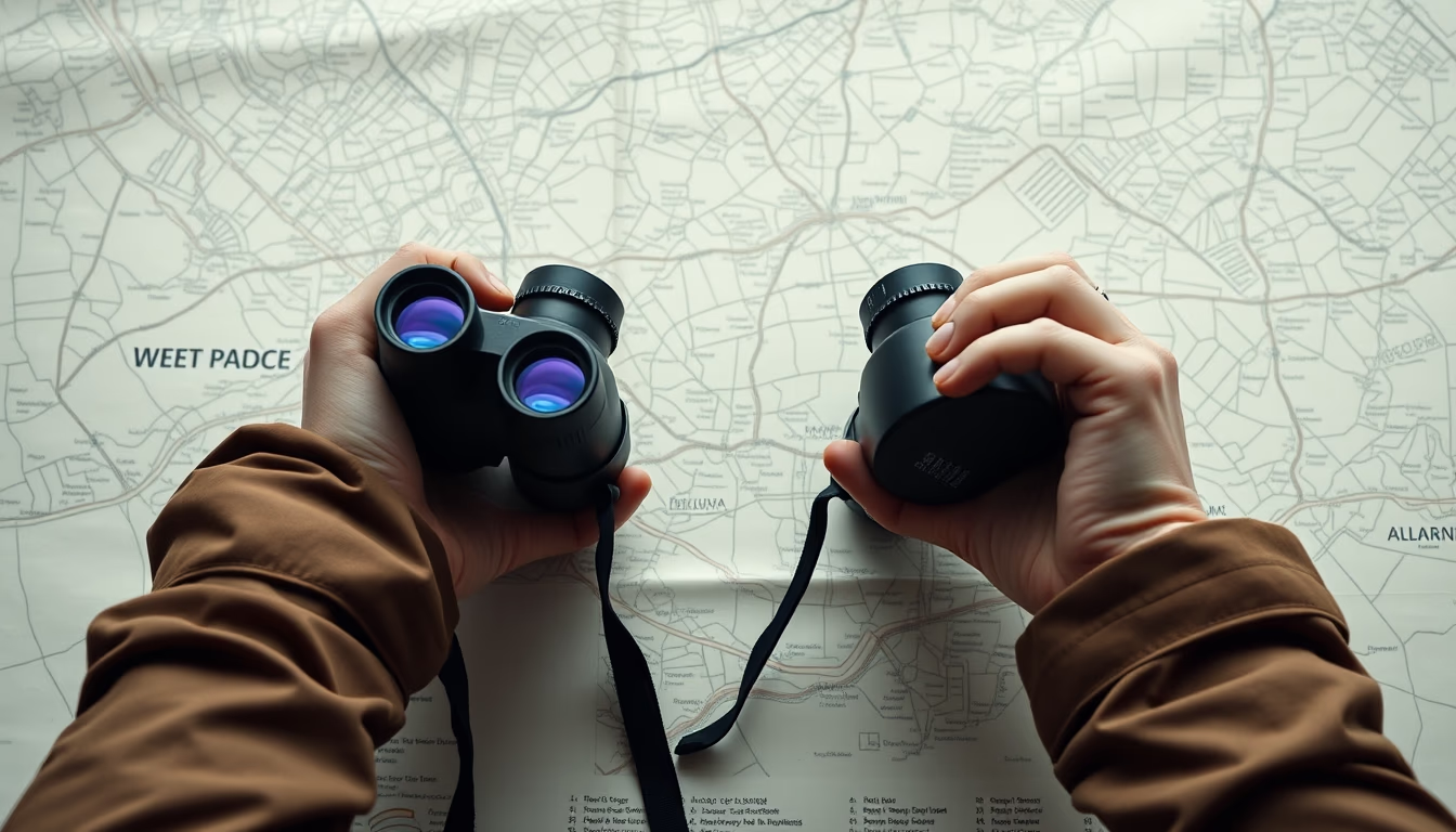
Binoculars on a map evoke the spirit of exploration and outdoor adventure planning.
About this subject
Maps are essential tools for navigation and expedition planning, from local trails to major crossings. Combined with binoculars, they form a classic kit for landscape observation, identifying landmarks, and route planning. Binoculars allow spotting distant details like mountain peaks, watercourses, or structures, while the map provides the overall geographical context.
In Brazil, topographic maps are common for activities like mountaineering, trekking, and birdwatching. The Serra do Mar region, for example, requires detailed maps to navigate winding trails. Binoculars are indispensable for birdwatchers in the Amazon or Pantanal. Orienteering combines maps and compasses, but binoculars help identify distant landmarks.
Historically, maps and binoculars were crucial in explorations such as bandeirante expeditions in Brazil's interior or the travels of naturalists like Auguste de Saint-Hilaire. Today, GPS technology complements, but many adventurers prefer physical maps to avoid battery dependence. Modern binoculars feature image stabilization and waterproof lenses for harsh environments.
Fun fact: the world's largest binocular, the Large Binocular Telescope in Arizona, has 8.4-meter mirrors, but for personal use, magnifications of 8x to 10x are ideal for outdoor trips. Topographic maps from IBGE (Brazilian Institute of Geography and Statistics) are national references, available in digital and printed versions.
Frequently Asked Questions
What is the best binocular magnification for hiking?
For hiking and landscape observation, binoculars with 8x to 10x magnification are recommended. They balance image stability and field of view, suitable for handheld use.
Are topographic maps useful for beginners?
Yes, topographic maps show contour lines, rivers, and trails, helping plan routes and avoid accidents. Beginners can start with simplified maps from national parks.
Can binoculars be combined with GPS for navigation?
Yes, many adventurers use GPS for precise coordinates and binoculars to visually confirm landmarks. The combination enhances safety in remote areas.
Direct URL
https://pub-c7d6a6ea828543ac903a74a341ccb2e1.r2.dev/imagens/binoculars-on-map-adventure-minimalist-composition-p1.avifHow to credit
Include a visible link back to UtilizAí. Copy one of the snippets below:
<a href="https://xn--utiliza-eza.com/en/midia/imagens/binoculars-on-map-adventure-minimalist-composition-p1">Binoculars on map adventure</a> by <a href="https://xn--utiliza-eza.com">UtilizAí</a>, licensed under <a href="https://creativecommons.org/licenses/by/4.0/">CC BY 4.0</a>.
[Binoculars on map adventure](https://xn--utiliza-eza.com/en/midia/imagens/binoculars-on-map-adventure-minimalist-composition-p1) by [UtilizAí](https://xn--utiliza-eza.com), CC BY 4.0
License: CC-BY-4.0