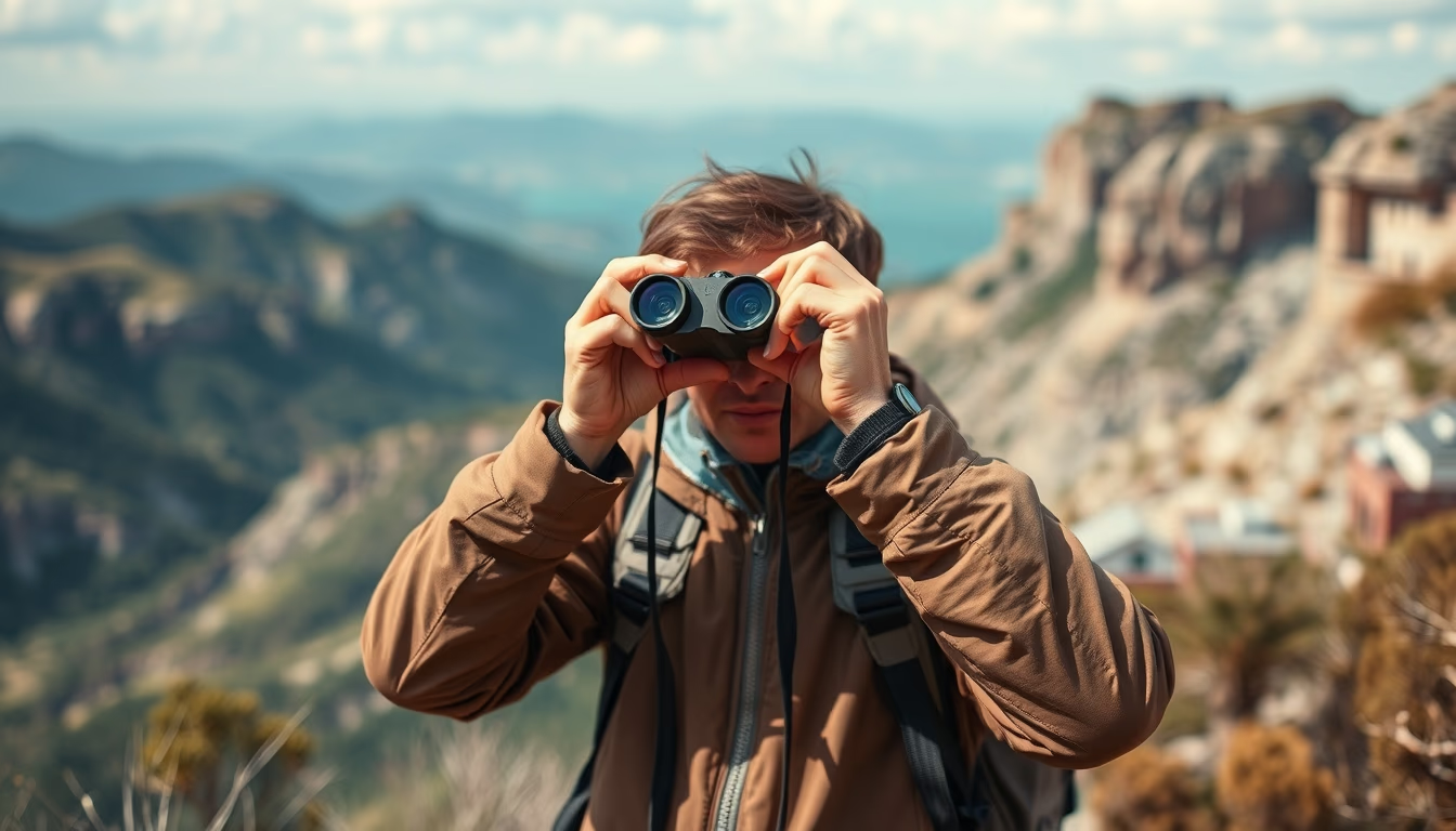
Binoculars on map adventure
1344×768 · AVIF · CC BY 4.0
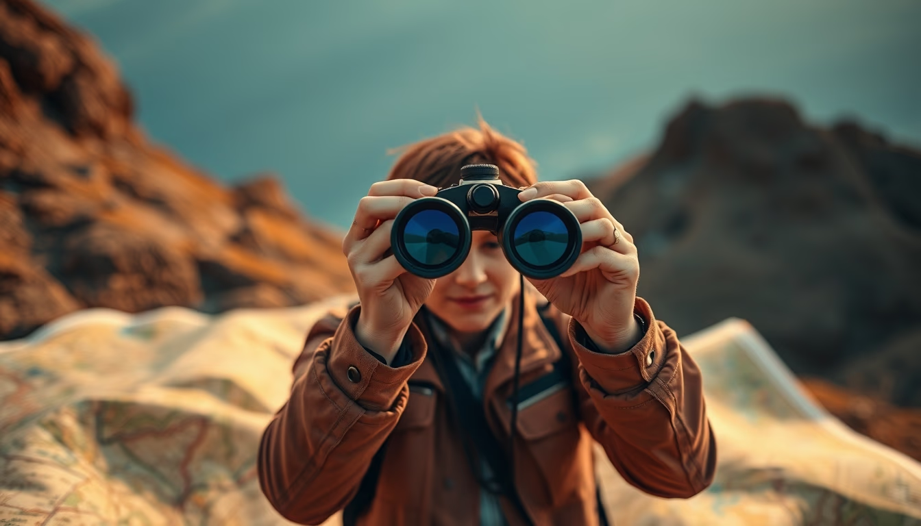
Binoculars and maps are essential tools for adventurers, combining magnified vision with precise navigation for outdoor exploration.
About this subject
The combination of binoculars and maps is a classic in adventure expeditions, from trails in the Atlantic Forest to safaris in the Cerrado. Binoculars allow observing distant details, birds, rock formations, or faraway trails, while the map provides geographic context and orientation. The first modern binoculars appeared in the 17th century, but they became popular among naturalists and explorers in the 19th century, such as the Brazilian Marshal Rondon, who used the equipment in his expeditions through the country's interior.
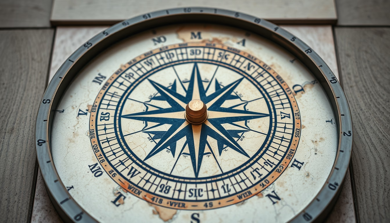
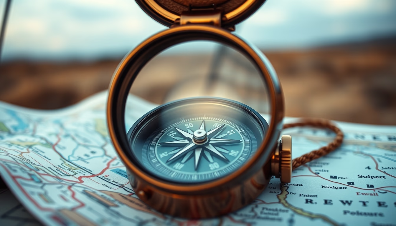
Topographic maps, with contour lines and UTM coordinates, are preferred by experienced adventurers. They allow planning routes, calculating distances, and identifying landmarks. Today, with the popularity of GPS and apps, digital maps complement physical ones, but many still prefer printed maps as they do not rely on batteries. In remote regions like the Amazon or Patagonia, the combination of binoculars and a map can be the difference between getting lost and reaching the destination.
Interesting fact: binoculars with central focusing and 8x magnification are the most versatile for hiking, balancing field of view and stability. The maps from IBGE (Brazilian Institute of Geography and Statistics) are a national reference for precision cartography. The practice of navigation using map and compass, known as trekking navigation, is valued in survival courses and long-duration expeditions.
Frequently Asked Questions
What is the best binocular magnification for hiking and adventure?
For hiking, binoculars with 8x magnification (e.g., 8x42) are most recommended, as they offer a good balance between magnification and field of view, plus greater stability for handheld use.
What is a topographic map and why is it useful for adventure?
A topographic map represents terrain elevation through contour lines, indicating altitudes and slopes. It is essential for route planning, avoiding dangerous terrain, and finding water sources or shelters.
How to effectively combine binoculars and a map on an expedition?
First, study the map to identify observation points and obstacles. While hiking, use binoculars to confirm features seen on the map, such as slopes, rivers, or structures, adjusting the route as needed.
Direct URL
https://pub-c7d6a6ea828543ac903a74a341ccb2e1.r2.dev/imagens/binoculars-on-map-adventure-fine-art-photography-p2.avifHow to credit
Include a visible link back to UtilizAí. Copy one of the snippets below:
<a href="https://xn--utiliza-eza.com/en/midia/imagens/binoculars-on-map-adventure-fine-art-photography-p2">Binoculars on map adventure</a> by <a href="https://xn--utiliza-eza.com">UtilizAí</a>, licensed under <a href="https://creativecommons.org/licenses/by/4.0/">CC BY 4.0</a>.
[Binoculars on map adventure](https://xn--utiliza-eza.com/en/midia/imagens/binoculars-on-map-adventure-fine-art-photography-p2) by [UtilizAí](https://xn--utiliza-eza.com), CC BY 4.0
License: CC-BY-4.0