Binoculars on map adventure
1344×768 · AVIF · CC BY 4.0
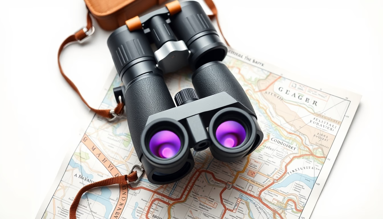
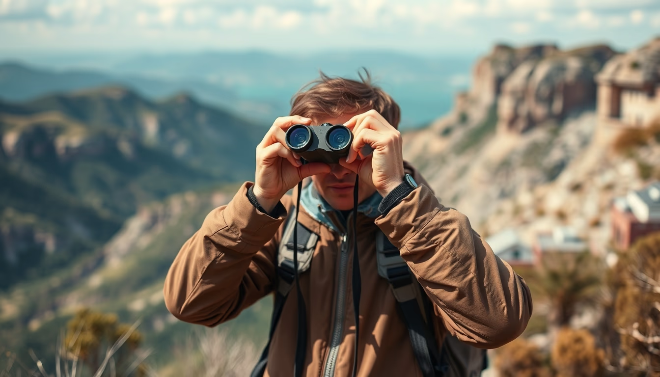
Binoculars and maps are classic exploration tools, essential for adventurers and travelers navigating unfamiliar landscapes.
About this subject
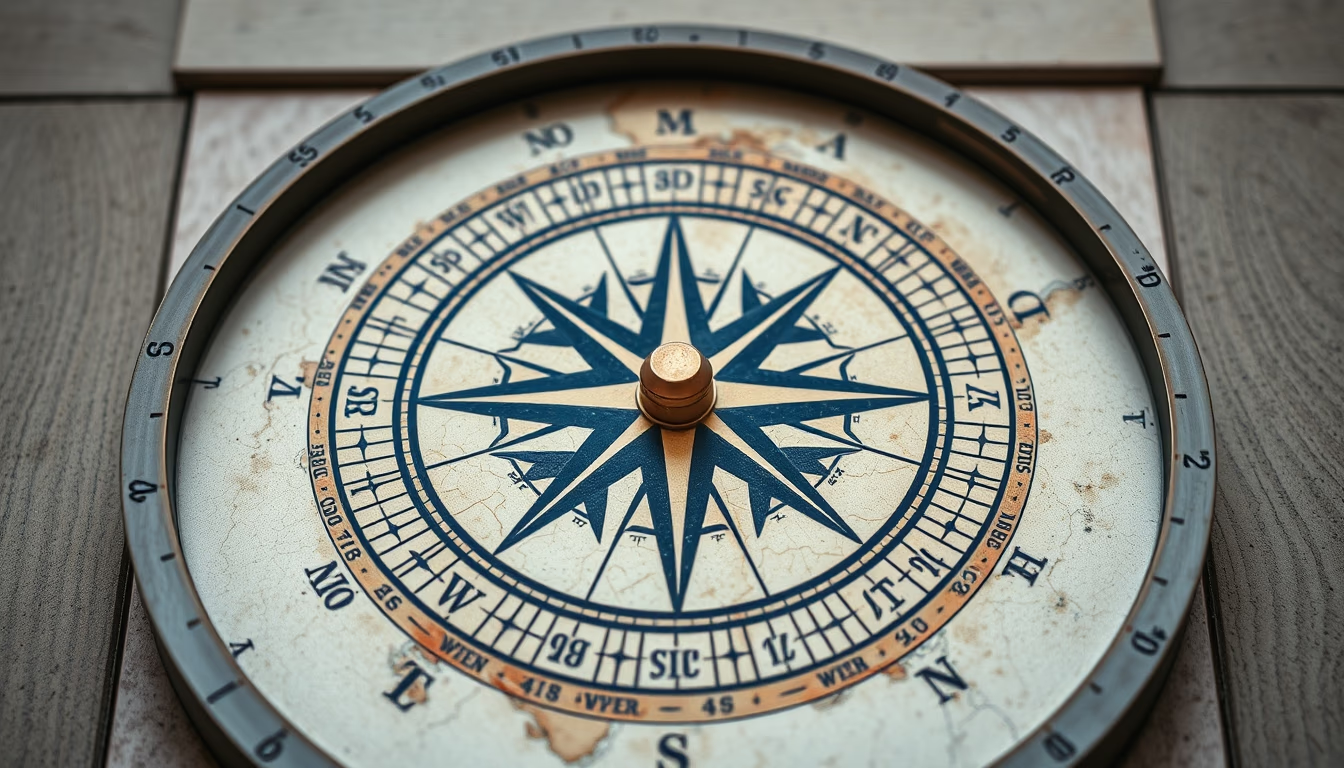
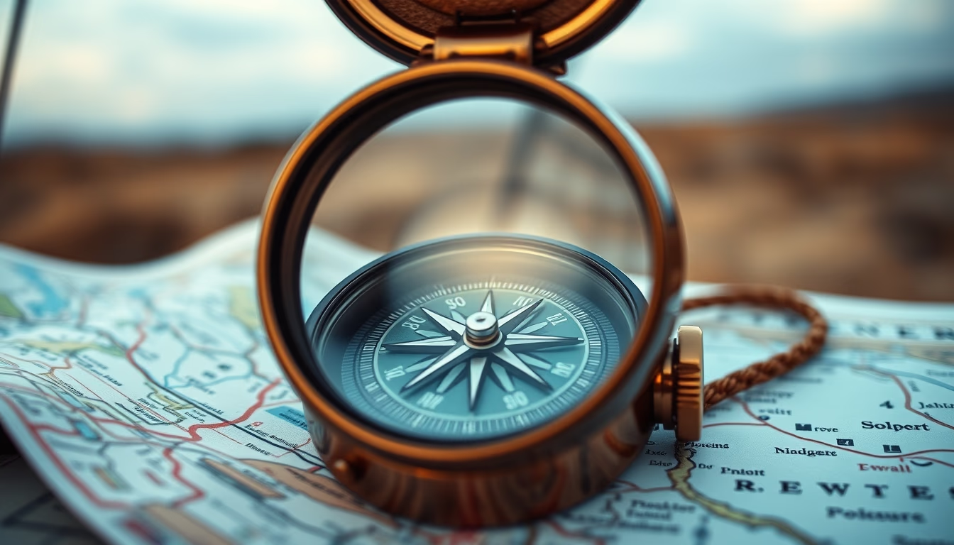
Binoculars and maps form an iconic combination for outdoor exploration. Binoculars, invented in the 17th century, magnify human vision, allowing users to observe distant details. They are used in birdwatching, hunting, navigation, and tourism. Maps are graphical representations of terrain that help with orientation and route planning. Together, they enable adventurers to identify landmarks, plan paths, and avoid getting lost in remote areas.
Various types of binoculars exist, classified by magnification and objective lens diameter (e.g., 10x42). Models with Porro or roof prisms offer different image quality and durability. Topographic maps with contour lines are essential for mountain activities, while nautical maps indicate depths and lighthouses for maritime navigation. Despite GPS advancements, basic map reading and binocular use remain valued skills in expeditions.
In Brazil, binoculars and maps are common in national parks like Iguaçu National Park for birdwatching and waterfall views, and in the Serra do Mar for hiking. This combination is also popular on African safaris and Antarctic cruises, where wildlife is spotted from a distance. Geocaching, which involves coordinates and clues, often relies on maps and binoculars to locate hidden treasures.
Interestingly, the world's largest binoculars are the Large Binocular Telescope (LBT) in Arizona, with two 8.4-meter mirrors used for astronomy. The oldest known map is a Babylonian clay tablet from the 6th century BC, depicting the world as a circular disk. These examples show how observation and cartography have evolved, but the essence of exploring the unknown remains unchanged.
Frequently Asked Questions
What is the best binocular magnification for birdwatching?
For birdwatching, 8x or 10x magnification is recommended. 8x models provide a wider field of view and steadier image, while 10x offers more detail at distance but requires steadier handling.
How do you read contour lines on a topographic map?
Contour lines connect points of equal elevation. The closer they are, the steeper the terrain. Numbered lines indicate exact altitude, and the spacing shows slope steepness.
Can binoculars be used with eyeglasses?
Yes, many binoculars have diopter adjustment and retractable eyecups (eye relief) for comfortable use with glasses. Check the eye relief distance (usually above 15 mm) for compatibility.
Direct URL
https://pub-c7d6a6ea828543ac903a74a341ccb2e1.r2.dev/imagens/binoculars-on-map-adventure-commercial-product-photography-p4.avifHow to credit
Include a visible link back to UtilizAí. Copy one of the snippets below:
<a href="https://xn--utiliza-eza.com/en/midia/imagens/binoculars-on-map-adventure-commercial-product-photography-p4">Binoculars on map adventure</a> by <a href="https://xn--utiliza-eza.com">UtilizAí</a>, licensed under <a href="https://creativecommons.org/licenses/by/4.0/">CC BY 4.0</a>.
[Binoculars on map adventure](https://xn--utiliza-eza.com/en/midia/imagens/binoculars-on-map-adventure-commercial-product-photography-p4) by [UtilizAí](https://xn--utiliza-eza.com), CC BY 4.0
License: CC-BY-4.0