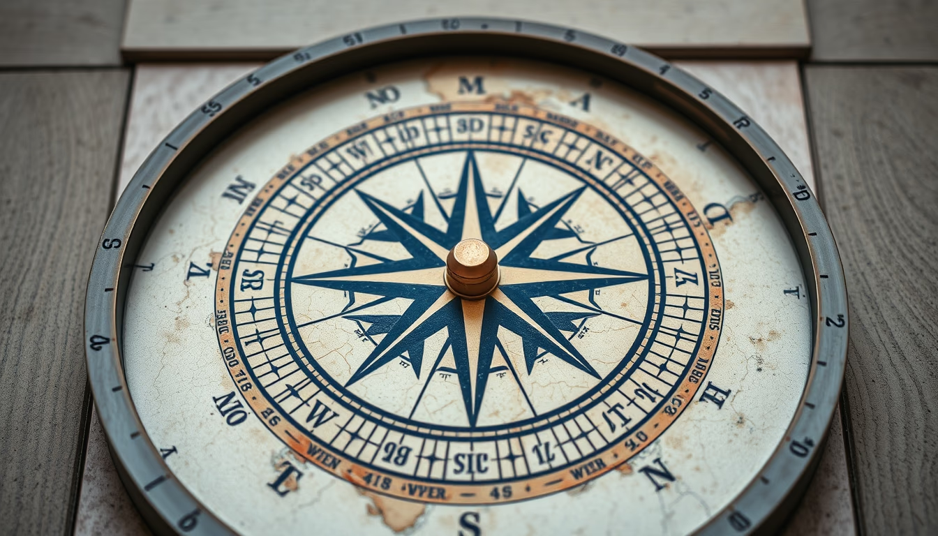
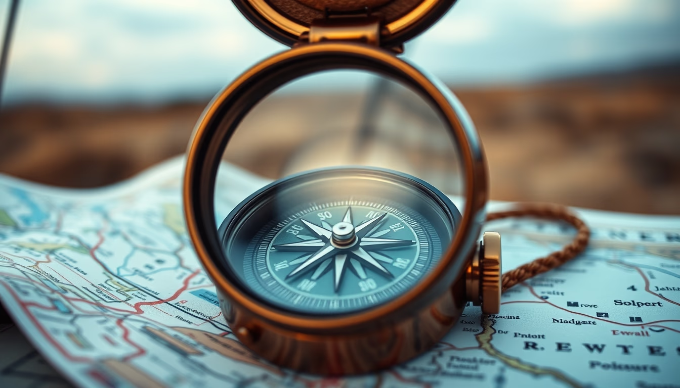
Topographic map compass
1344×768 · AVIF · CC BY 4.0
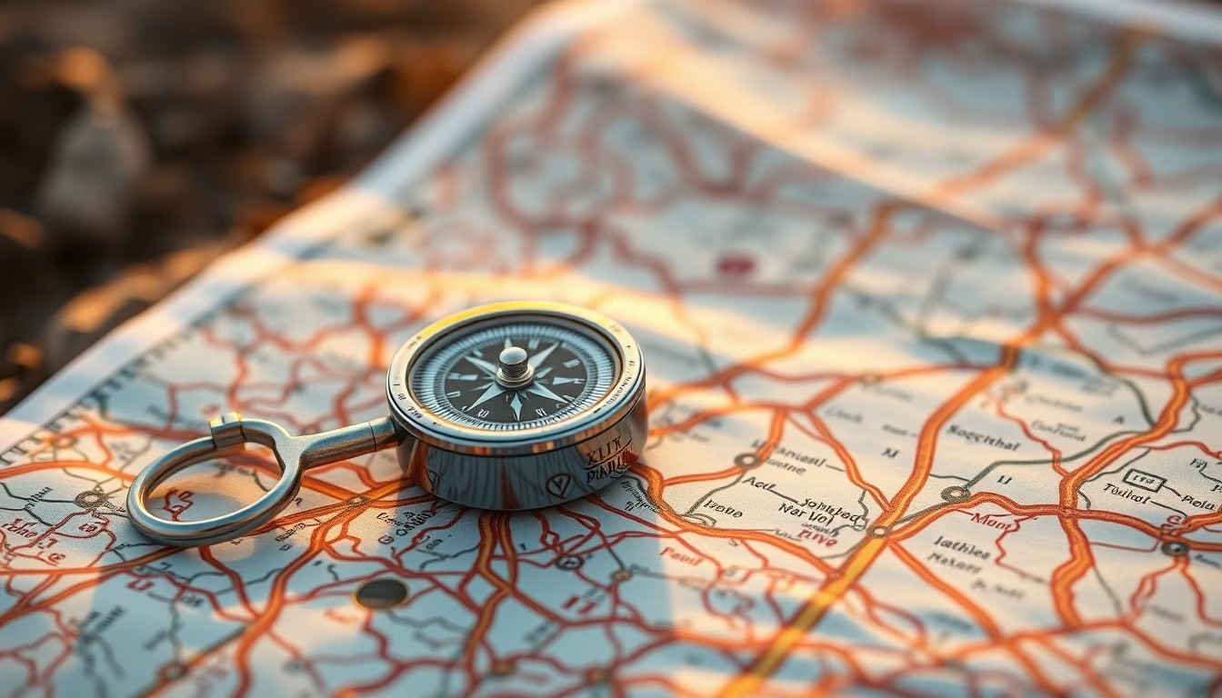
A compass and topographic map are essential tools for navigation on trails and expeditions, combining cartographic precision with magnetic orientation.
About this subject
Topographic maps represent the Earth's relief through contour lines, which connect points of equal elevation. This technique allows visualizing elevations, depressions, and slope gradients, making it indispensable for outdoor activities such as trekking, mountaineering, and travel photography. Official topographic maps are produced by national agencies like the USGS (United States) or IBGE (Brazil), with scales such as 1:50,000 and 1:100,000, widely used by adventurers and professionals.
The magnetic compass points to the Earth's magnetic north. When used with a topographic map, the user can orient the map correctly (magnetic north aligned with the map's north) and plot azimuths to navigate between waypoints. Magnetic declination, the difference between magnetic north and true north, must be adjusted for accuracy. In areas with high declination, like parts of Alaska, this adjustment is critical.
For travelers and nature photographers, mastering map and compass navigation provides safety in areas without GPS signal. Analog equipment does not rely on batteries or internet, remaining reliable in extreme conditions. Many photographers incorporate the compass as an aesthetic element in compositions, symbolizing exploration and adventure.
Fun fact: the compass was invented in China over 2,000 years ago, initially as a divination tool. Only in the 11th century was it used for maritime navigation. Modern topographic maps originated in 18th-century France with the Cassini map. The combination of these two technologies remains fundamental for terrestrial exploration.
Frequently Asked Questions
What is the difference between magnetic north and true north on a topographic map?
Magnetic north is the direction a compass points, varying with Earth's magnetic field. True north (geographic north) is the fixed point of the planet's rotation axis. The difference is called magnetic declination, which must be compensated when navigating with map and compass.
How to interpret contour lines on a topographic map?
Contour lines connect points of equal elevation. The closer they are, the steeper the terrain. Closed contours indicate hilltops or depressions. The elevation difference between consecutive lines (contour interval) is constant and shown in the legend.
Why use map and compass instead of GPS for travel photography?
Map and compass do not rely on batteries, satellite signal, or internet, working in any environment. They are more reliable in remote areas, dense forests, or during storms. Additionally, many photographers appreciate the aesthetic and historical value of these tools.
Direct URL
https://pub-c7d6a6ea828543ac903a74a341ccb2e1.r2.dev/imagens/topographic-map-compass-travel-photography-p3.avifHow to credit
Include a visible link back to UtilizAí. Copy one of the snippets below:
<a href="https://xn--utiliza-eza.com/en/midia/imagens/topographic-map-compass-travel-photography-p3">Topographic map compass</a> by <a href="https://xn--utiliza-eza.com">UtilizAí</a>, licensed under <a href="https://creativecommons.org/licenses/by/4.0/">CC BY 4.0</a>.
[Topographic map compass](https://xn--utiliza-eza.com/en/midia/imagens/topographic-map-compass-travel-photography-p3) by [UtilizAí](https://xn--utiliza-eza.com), CC BY 4.0
License: CC-BY-4.0