Topographic map compass
1344×768 · AVIF · CC BY 4.0

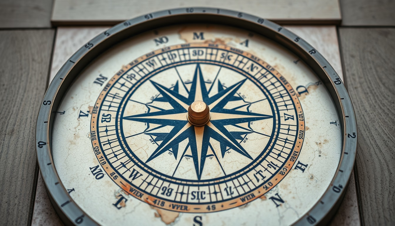
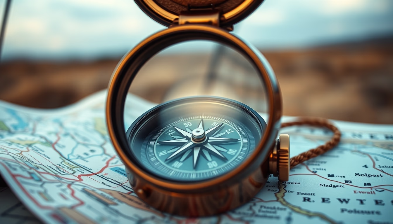
A compass and a topographic map are essential tools for trail navigation, combining ancient precision with detailed terrain representation.
About this subject
Topographic maps represent the three-dimensional terrain of the Earth's surface on a two-dimensional sheet, using contour lines to indicate elevation. Each line connects points of equal altitude; the spacing between them reveals slope: closely spaced lines indicate steep terrain, widely spaced lines gentle slopes. These maps also show hydrography, vegetation, structures, and landmarks, making them essential for mountaineering, trekking, and orienteering (the sport of navigation with map and compass).
The compass, invented in China during the Han dynasty (2nd century BC), uses a magnetized needle that aligns with Earth's magnetic field, pointing to magnetic north. Modern models, such as the lensatic or baseplate compass, allow azimuth measurement and route plotting directly on the map. Proper use requires accounting for magnetic declination, the difference between magnetic north and true north, which varies by location and is noted on topographic maps.
Practical navigation with map and compass involves basic steps: orient the map (rotate it so map north aligns with compass north), plot the intended route, and follow the azimuth. While GPS has become common, these traditional skills remain crucial in case of electronic failure or in areas without signal, valued in expeditions and survival courses. In high-fashion editorial contexts, compasses and topographic maps appear as aesthetic elements evoking adventure and exploration, blending functionality with design.
Fun fact: the world's largest compass, located in Pendleton, Oregon (USA), is 30 meters in diameter and made of concrete, serving as a tourist landmark. The oldest known topographic map is the Nippur Tablet from Mesopotamia (15th century BC), depicting the terrain of a region around the city.
Frequently Asked Questions
How do you read contour lines on a topographic map?
Contour lines connect points of equal elevation. Closely spaced lines indicate steep terrain; widely spaced lines show gentle slopes. Index contours (thicker lines) appear every fifth line and show the elevation value.
What is the difference between magnetic north and true north?
Magnetic north is where the compass needle points, influenced by Earth's magnetic field. True north is the geographic North Pole. The difference is called magnetic declination, which varies by location and must be accounted for in navigation.
Is a compass still useful with GPS technology?
Yes. GPS relies on batteries and satellite signals, which can fail. A compass works in all conditions and serves as a reliable backup. Many outdoor enthusiasts also value the traditional skill of map and compass navigation.
Direct URL
https://pub-c7d6a6ea828543ac903a74a341ccb2e1.r2.dev/imagens/topographic-map-compass-high-fashion-editorial-p5.avifHow to credit
Include a visible link back to UtilizAí. Copy one of the snippets below:
<a href="https://xn--utiliza-eza.com/en/midia/imagens/topographic-map-compass-high-fashion-editorial-p5">Topographic map compass</a> by <a href="https://xn--utiliza-eza.com">UtilizAí</a>, licensed under <a href="https://creativecommons.org/licenses/by/4.0/">CC BY 4.0</a>.
[Topographic map compass](https://xn--utiliza-eza.com/en/midia/imagens/topographic-map-compass-high-fashion-editorial-p5) by [UtilizAí](https://xn--utiliza-eza.com), CC BY 4.0
License: CC-BY-4.0