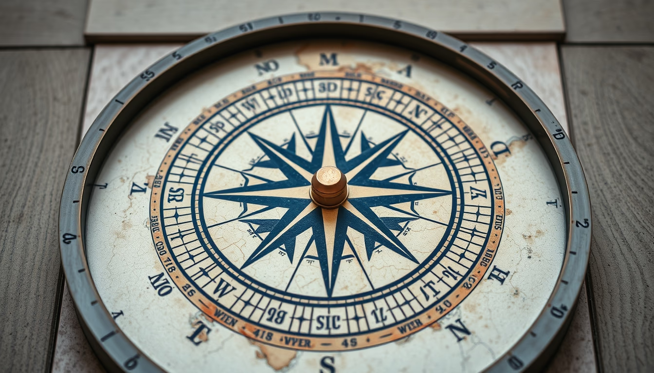
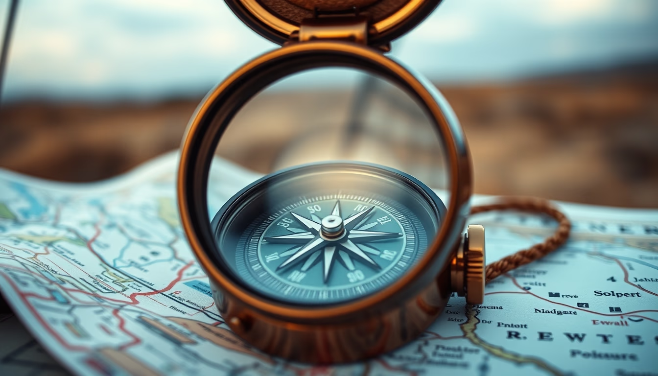
Topographic map compass
1344×768 · AVIF · CC BY 4.0
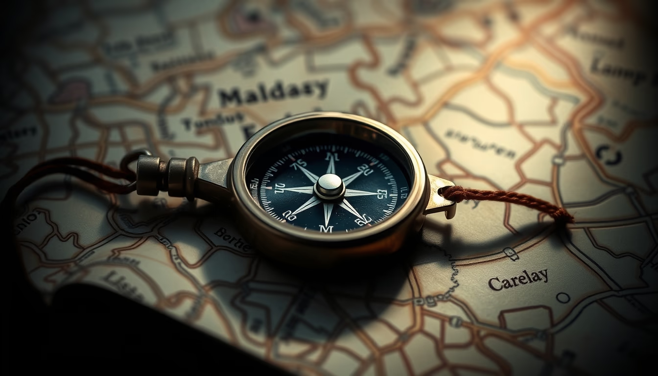
A compass on a topographic map is the classic land navigation tool, combining contour lines and magnetic orientation for outdoor exploration.
About this subject
Topographic maps represent terrain elevation through contour lines, connecting points of equal altitude. They are essential for hiking, mountaineering, and orienteering, providing details on elevation, slopes, and geographic features. In Brazil, the IBGE produces topographic maps at various scales, used by adventurers and professionals.
The compass, invented in China over two thousand years ago, is a navigation instrument that points to magnetic north. Combined with a topographic map, it allows correct direction finding even in areas without visual references. Techniques such as azimuth bearing and magnetic declination (the difference between magnetic north and true north) are fundamental for accurate use.
In hobbies, map and compass usage is central to sports like orienteering, where participants navigate through checkpoints using only these tools. It is also common in geocaching and long-distance trekking. Despite GPS popularity, analog navigation remains a valuable skill, often required in survival courses.
In fine art photography, an image of a compass on a topographic map explores the aesthetics of analog objects and the nostalgia of exploration. The combination of detailed map lines with the compass's circular design creates a visually rich composition, evoking adventure and precision.
Frequently Asked Questions
How to use a compass with a topographic map?
First, orient the map to true north using the local magnetic declination. Place the compass on the map, rotate the base until the orienting arrow points to map north. Then turn the compass housing to align the magnetic needle with the orienting arrow, obtaining the desired azimuth.
What is the difference between magnetic north and true north?
Magnetic north is the direction the compass needle points, influenced by Earth's magnetic field. True north is the geographic North Pole. The angular difference is called magnetic declination, which varies by location and over time.
What are contour lines on a topographic map?
Contour lines are lines connecting points of equal elevation. They show terrain steepness: closely spaced lines indicate steep slopes, while widely spaced lines indicate flat areas. The contour interval is constant for each map.
Direct URL
https://pub-c7d6a6ea828543ac903a74a341ccb2e1.r2.dev/imagens/topographic-map-compass-fine-art-photography-p0.avifHow to credit
Include a visible link back to UtilizAí. Copy one of the snippets below:
<a href="https://xn--utiliza-eza.com/en/midia/imagens/topographic-map-compass-fine-art-photography-p0">Topographic map compass</a> by <a href="https://xn--utiliza-eza.com">UtilizAí</a>, licensed under <a href="https://creativecommons.org/licenses/by/4.0/">CC BY 4.0</a>.
[Topographic map compass](https://xn--utiliza-eza.com/en/midia/imagens/topographic-map-compass-fine-art-photography-p0) by [UtilizAí](https://xn--utiliza-eza.com), CC BY 4.0
License: CC-BY-4.0