Topographic map compass
1344×768 · AVIF · CC BY 4.0
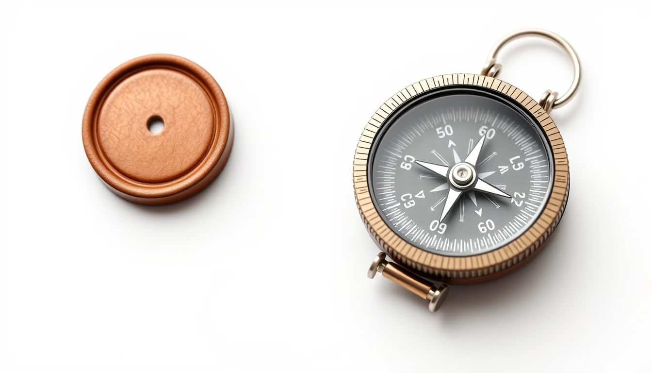
A topographic map compass is a navigation tool that combines a transparent base plate with a magnetic needle and a rotating bezel, essential for orienteering and outdoor navigation.
About this subject
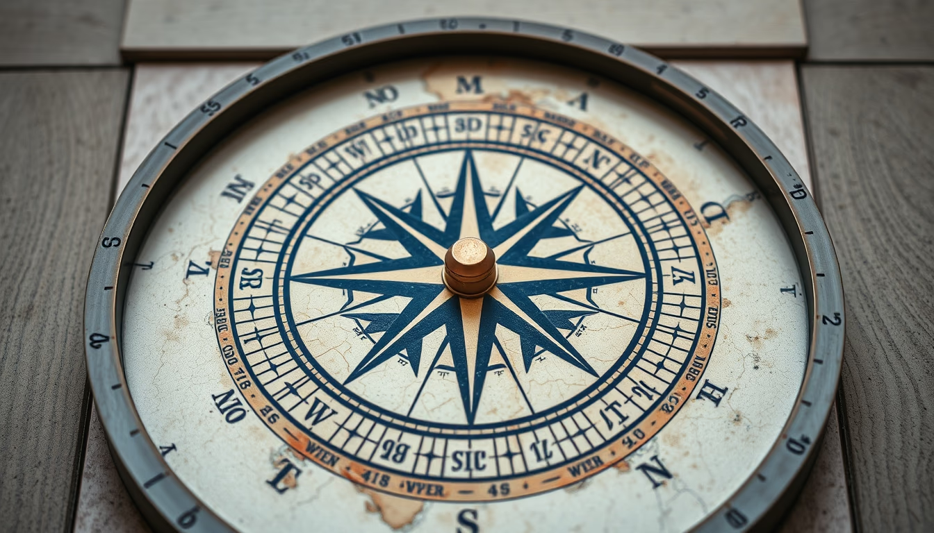
The topographic map compass, also known as a baseplate compass, was pioneered by the Swedish company Silva in the 1930s. Unlike traditional compasses, it features a transparent rectangular base that allows the user to see the map and the needle simultaneously, simplifying bearing taking. The rotating bezel, marked in degrees, includes a declination adjustment mechanism to correct the difference between magnetic north (shown by the needle) and true north (used on maps). This declination varies by location and changes over time; ignoring it can lead to significant navigation errors.
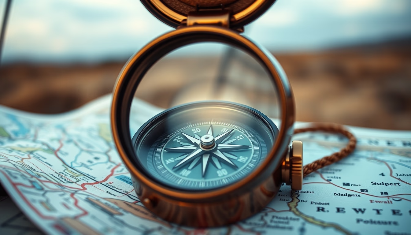
To use a baseplate compass with a topographic map, first place the compass on the map with its direction of travel line pointing from your current location to your destination. Rotate the bezel until the orienting lines inside it align with the map's north-south grid lines. Then, lift the compass and hold it level, turning your body until the magnetic needle aligns with the orienting arrow. This gives you the bearing to follow. Topographic maps show elevation through contour lines, with closer lines indicating steeper terrain. The standard scale for hiking maps is 1:24,000 in the US or 1:25,000 in many other countries.
Modern compasses often include additional features such as a sighting mirror for precise aiming, a clinometer for measuring slope angles, and luminous markings for low-light conditions. While GPS devices are popular, compasses remain essential for backup navigation, especially in remote areas like national parks or during magnetic storms that can affect electronic devices. Orienteering, a sport that combines map reading and compass skills, has global competitions and teaches invaluable spatial reasoning. Even casual hikers benefit from mastering this classic tool, as it builds confidence and self-reliance in the wilderness.
Frequently Asked Questions
How do I use a compass with a topographic map?
Place the compass on the map with the direction-of-travel line pointing from your start to your destination. Rotate the bezel until the orienting lines align with map's north-south grid. Hold the compass level and turn your body until the magnetic needle aligns with the orienting arrow. Walk in the direction of the travel arrow.
What is magnetic declination?
It is the angle between magnetic north (where the needle points) and true north (geographic north). Declination varies by location and changes over time. Many compasses have a declination adjustment feature to automatically correct for this difference.
Which is better for hiking: a compass or a GPS?
A compass is reliable, works without batteries or satellite signal, and functions in any weather. A GPS provides precise coordinates and tracking but can fail in canyons or under heavy tree cover. The best practice is to carry both, relying on the compass as a backup.
Direct URL
https://pub-c7d6a6ea828543ac903a74a341ccb2e1.r2.dev/imagens/topographic-map-compass-commercial-product-photography-p2.avifHow to credit
Include a visible link back to UtilizAí. Copy one of the snippets below:
<a href="https://xn--utiliza-eza.com/en/midia/imagens/topographic-map-compass-commercial-product-photography-p2">Topographic map compass</a> by <a href="https://xn--utiliza-eza.com">UtilizAí</a>, licensed under <a href="https://creativecommons.org/licenses/by/4.0/">CC BY 4.0</a>.
[Topographic map compass](https://xn--utiliza-eza.com/en/midia/imagens/topographic-map-compass-commercial-product-photography-p2) by [UtilizAí](https://xn--utiliza-eza.com), CC BY 4.0
License: CC-BY-4.0