Salar de uyuni reflection
1344×768 · AVIF · CC BY 4.0

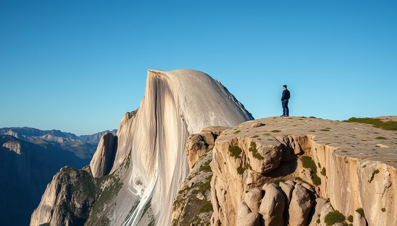
Salar de Uyuni, the world's largest salt flat in Bolivia, provides a perfect reflection of the sky during the rainy season, creating a natural mirror.
About this subject
Salar de Uyuni, located in southwestern Bolivia, is the Earth's largest salt flat, covering over 10,000 square kilometers. Formed from prehistoric lakes that evaporated, such as Lake Minchin, its surface is encrusted with salt up to 10 meters thick. During the rainy season from November to March, a thin layer of water covers the salt, transforming it into the world's largest natural mirror. The reflection phenomenon occurs because the water creates a perfectly smooth surface, beautifully reflecting the sky and clouds.
This site is also a major lithium deposit, containing about 70% of the world's reserves, crucial for battery production. The region hosts flocks of Andean flamingos feeding on crustaceans in nearby lagoons. Salar de Uyuni is a popular tourist destination not only for the mirror effect but also for the train cemetery, salt hotels, and Fish Island, covered with giant cacti.
Geologically formed 30,000 years ago when Lake Minchin began to dry out, the landscape is so flat it is used for satellite calibration. The area's temperature varies drastically, with hot days and cold nights. Lithium mining is increasing, but the fragile ecosystem requires careful management.
Frequently Asked Questions
What is the best time to visit Salar de Uyuni to see the reflection?
The best time is during the rainy season from November to March, when a thin layer of water covers the salt, creating the mirror effect. However, January and February may have heavy rains that make access difficult.
Why is Salar de Uyuni important for battery production?
It holds about 70% of the world's lithium reserves, a mineral essential for manufacturing batteries for electric cars and electronic devices. Lithium extraction has both economic and environmental impacts.
How did Salar de Uyuni form?
It formed from the evaporation of prehistoric lakes, such as Lake Minchin, about 30,000 years ago. The salt crust varies in thickness and results from cycles of flooding and drought.
Direct URL
https://pub-c7d6a6ea828543ac903a74a341ccb2e1.r2.dev/imagens/salar-de-uyuni-reflection-high-fashion-editorial-p1.avifHow to credit
Include a visible link back to UtilizAí. Copy one of the snippets below:
<a href="https://xn--utiliza-eza.com/en/midia/imagens/salar-de-uyuni-reflection-high-fashion-editorial-p1">Salar de uyuni reflection</a> by <a href="https://xn--utiliza-eza.com">UtilizAí</a>, licensed under <a href="https://creativecommons.org/licenses/by/4.0/">CC BY 4.0</a>.
[Salar de uyuni reflection](https://xn--utiliza-eza.com/en/midia/imagens/salar-de-uyuni-reflection-high-fashion-editorial-p1) by [UtilizAí](https://xn--utiliza-eza.com), CC BY 4.0
License: CC-BY-4.0