Compass on map outdoor
1344×768 · AVIF · CC BY 4.0
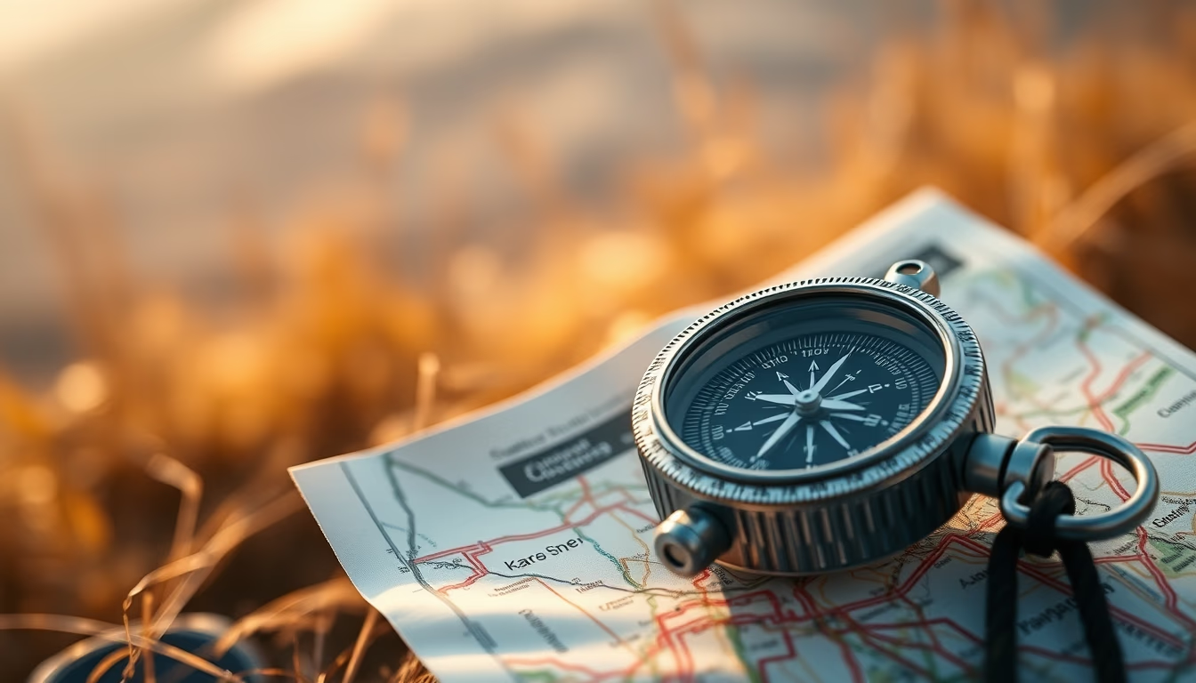
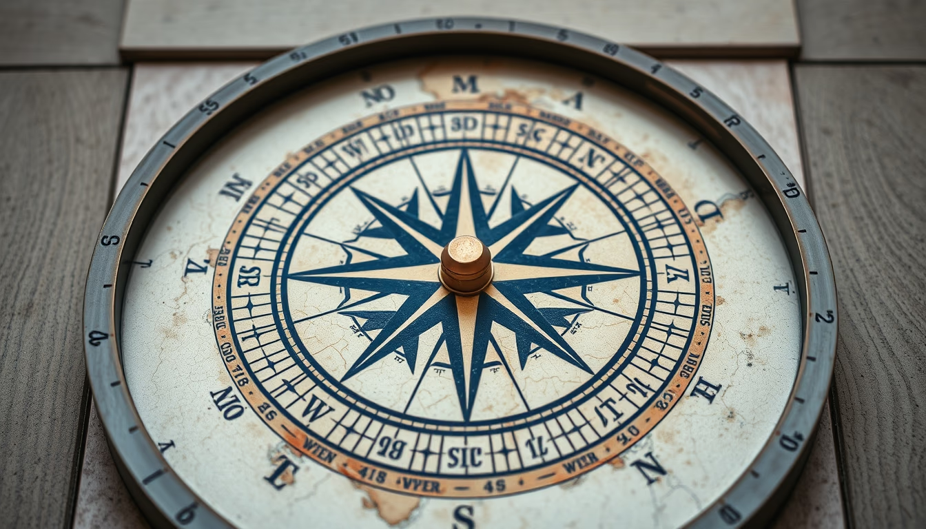
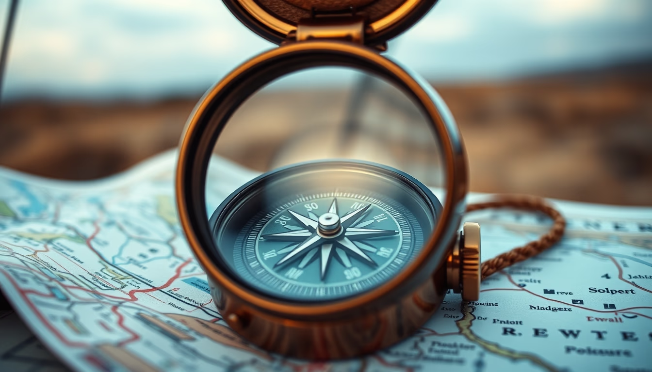
Compass on map outdoors, symbol of navigation and exploration in travel and adventure.
About this subject
The compass is one of the oldest and most reliable navigation instruments, essential for adventurers and travelers exploring remote regions. Combined with a topographic map, it allows determining directions, calculating azimuths, and plotting precise routes without relying on batteries or GPS signal. Since the Han dynasty in China around 200 BC, the magnetic compass revolutionized terrestrial and maritime navigation. In the context of ecotourism and trekking, knowing how to use a compass and map is a skill valued by guides and mountaineers, especially in areas like Brazil's Serra do Mar or the Atacama Desert.
Outdoors, the combination of compass and map is often used in activities such as geocaching, modern treasure hunting, and orienteering competitions. The compass points to magnetic north, which differs from true north shown on maps, requiring adjustment for magnetic declination. This practical knowledge distinguishes a prepared traveler from a casual tourist. Moreover, in emergencies, a compass can be a lifesaver when electronic devices fail.
The popularity of using compasses and physical maps has grown among digital minimalists and bushcraft enthusiasts. Brands like Suunto and Silva produce models specific for each activity, from maritime navigation to hiking. In Brazil, their use is common in expeditions to the Pantanal, Amazon, and plateaus where cell coverage is scarce. Learning to read contour lines and landmarks on the map, and transferring that information to the compass, is a skill that provides autonomy and safety.
Finally, the image of a compass on a map outdoors evokes the spirit of discovery and connection with nature. It represents the human ability to orient oneself in space and plan journeys, whether for a simple weekend hike or a months-long expedition. As technology advances, the simplicity and reliability of the compass remain irreplaceable for those seeking authentic adventure.
Frequently Asked Questions
How to use a compass with a map?
Place the map on a flat surface, align the compass with the map's north (adjusting for magnetic declination), and rotate the map until the needle points north. Then, determine the desired direction on the map and follow the azimuth with the compass.
What is the difference between true north and magnetic north?
True north is the geographic North Pole, fixed on maps. Magnetic north is where the compass needle points, which changes over time. The difference is called magnetic declination and must be corrected for accurate navigation.
Why is a compass still important in the age of GPS?
GPS relies on batteries and satellite signals, which can fail in remote areas or bad weather. A compass never runs out of power and works without electronics, making it a crucial safety item for adventurers and travelers.
Direct URL
https://pub-c7d6a6ea828543ac903a74a341ccb2e1.r2.dev/imagens/compass-on-map-outdoor-travel-photography-p4.avifHow to credit
Include a visible link back to UtilizAí. Copy one of the snippets below:
<a href="https://xn--utiliza-eza.com/en/midia/imagens/compass-on-map-outdoor-travel-photography-p4">Compass on map outdoor</a> by <a href="https://xn--utiliza-eza.com">UtilizAí</a>, licensed under <a href="https://creativecommons.org/licenses/by/4.0/">CC BY 4.0</a>.
[Compass on map outdoor](https://xn--utiliza-eza.com/en/midia/imagens/compass-on-map-outdoor-travel-photography-p4) by [UtilizAí](https://xn--utiliza-eza.com), CC BY 4.0
License: CC-BY-4.0