Compass on map outdoor
1344×768 · AVIF · CC BY 4.0
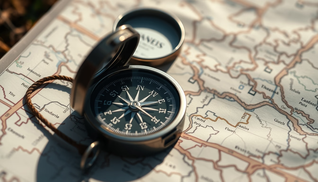
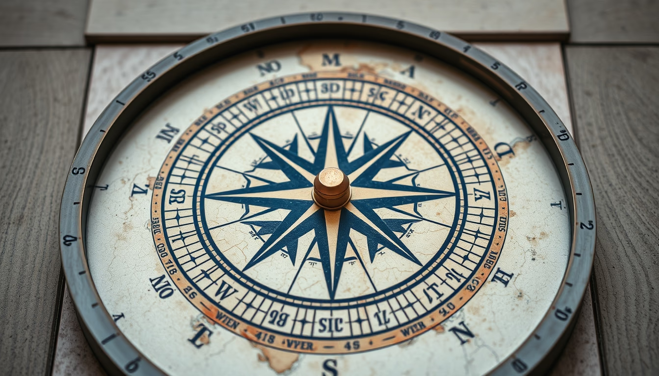
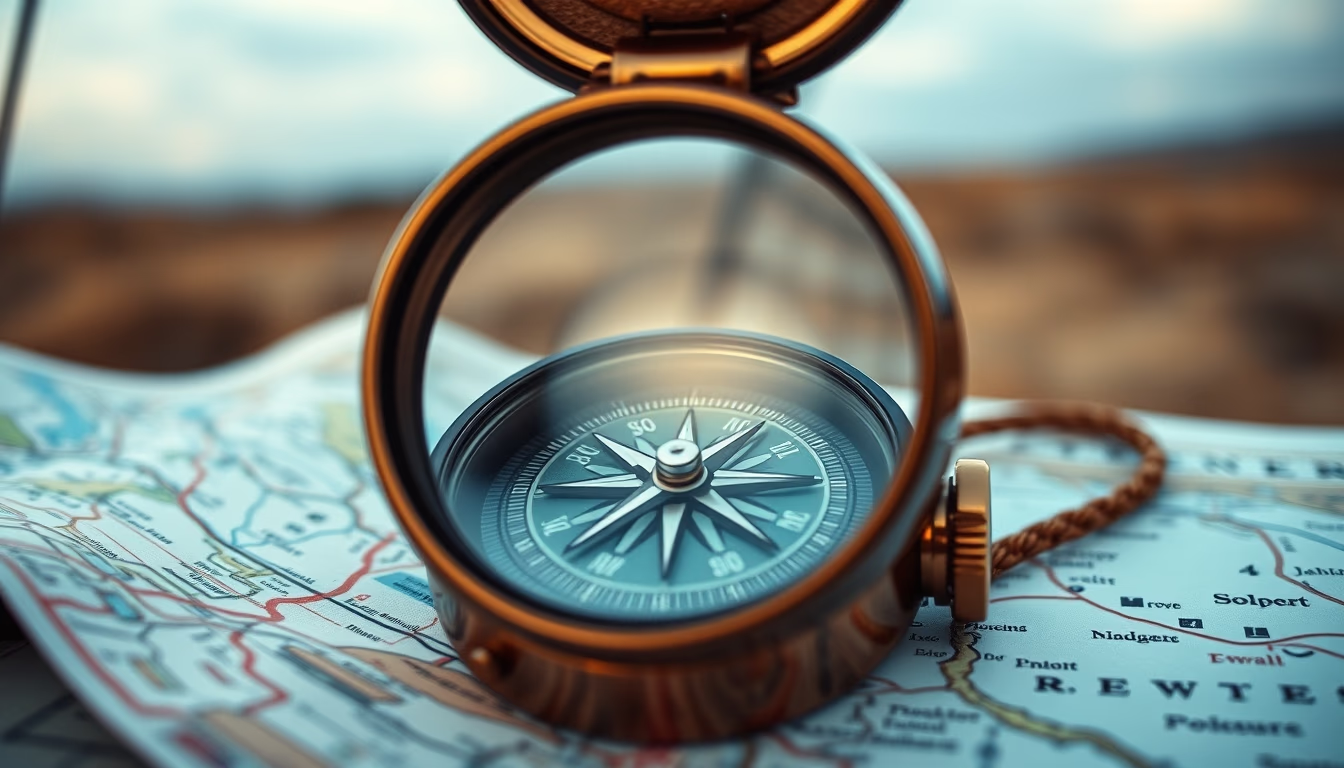
Compass and map are essential tools for outdoor navigation, combining traditional orientation techniques with mindful exploration of nature.
About this subject
The compass is one of humanity's oldest navigation instruments. Its origins trace back to Han dynasty China, around the 2nd century BC, when natural magnets were used to point south. In the West, the magnetic compass gained popularity during the Middle Ages, revolutionizing maritime navigation. Today, it remains indispensable for outdoor activities such as hiking, mountaineering, and orienteering.
The topographic map provides details about terrain, vegetation, and landmarks. When combined with a compass, it allows precise location finding even in areas without GPS signal. The most common technique is triangulation, using visible landmarks to determine one's position. This skill is taught in survival courses and valued by adventurers seeking independence.
In Brazil, orienteering (foot orienteering) is growing in clubs and schools. The sport involves navigating a course with a map and compass, visiting checkpoints in the shortest time. The Brazilian Orienteering Federation promotes competitions nationwide, blending sport, nature, and quick thinking.
Fun fact: the magnetic compass can be affected by metallic objects and electric fields. Therefore, it's important to keep distance from cell phones, power lines, and even some types of volcanic rock. Digital maps are not a complete replacement for physical ones, as they depend on battery and signal. Hence, many hikers still carry printed maps and a compass as a backup.
Frequently Asked Questions
How to use a compass with a map?
First, align the compass with the map's magnetic north (usually indicated by arrows). Rotate the map until the compass needle points north. Then, choose a landmark and draw a line on the map to determine your direction. Practice in familiar areas.
What is the difference between magnetic north and true north?
Magnetic north is where the compass needle points, varying over time and location. True north is the geographic North Pole. The difference is called magnetic declination and must be adjusted for accurate navigation.
Is a compass still useful with smartphones?
Yes, especially as a backup. Smartphones have digital compass and GPS, but can fail due to battery or lack of signal. An analog compass requires no power and works anywhere, making it essential for safety in outdoor activities.
Direct URL
https://pub-c7d6a6ea828543ac903a74a341ccb2e1.r2.dev/imagens/compass-on-map-outdoor-magazine-editorial-p2.avifHow to credit
Include a visible link back to UtilizAí. Copy one of the snippets below:
<a href="https://xn--utiliza-eza.com/en/midia/imagens/compass-on-map-outdoor-magazine-editorial-p2">Compass on map outdoor</a> by <a href="https://xn--utiliza-eza.com">UtilizAí</a>, licensed under <a href="https://creativecommons.org/licenses/by/4.0/">CC BY 4.0</a>.
[Compass on map outdoor](https://xn--utiliza-eza.com/en/midia/imagens/compass-on-map-outdoor-magazine-editorial-p2) by [UtilizAí](https://xn--utiliza-eza.com), CC BY 4.0
License: CC-BY-4.0