Compass on map outdoor
1344×768 · AVIF · CC BY 4.0
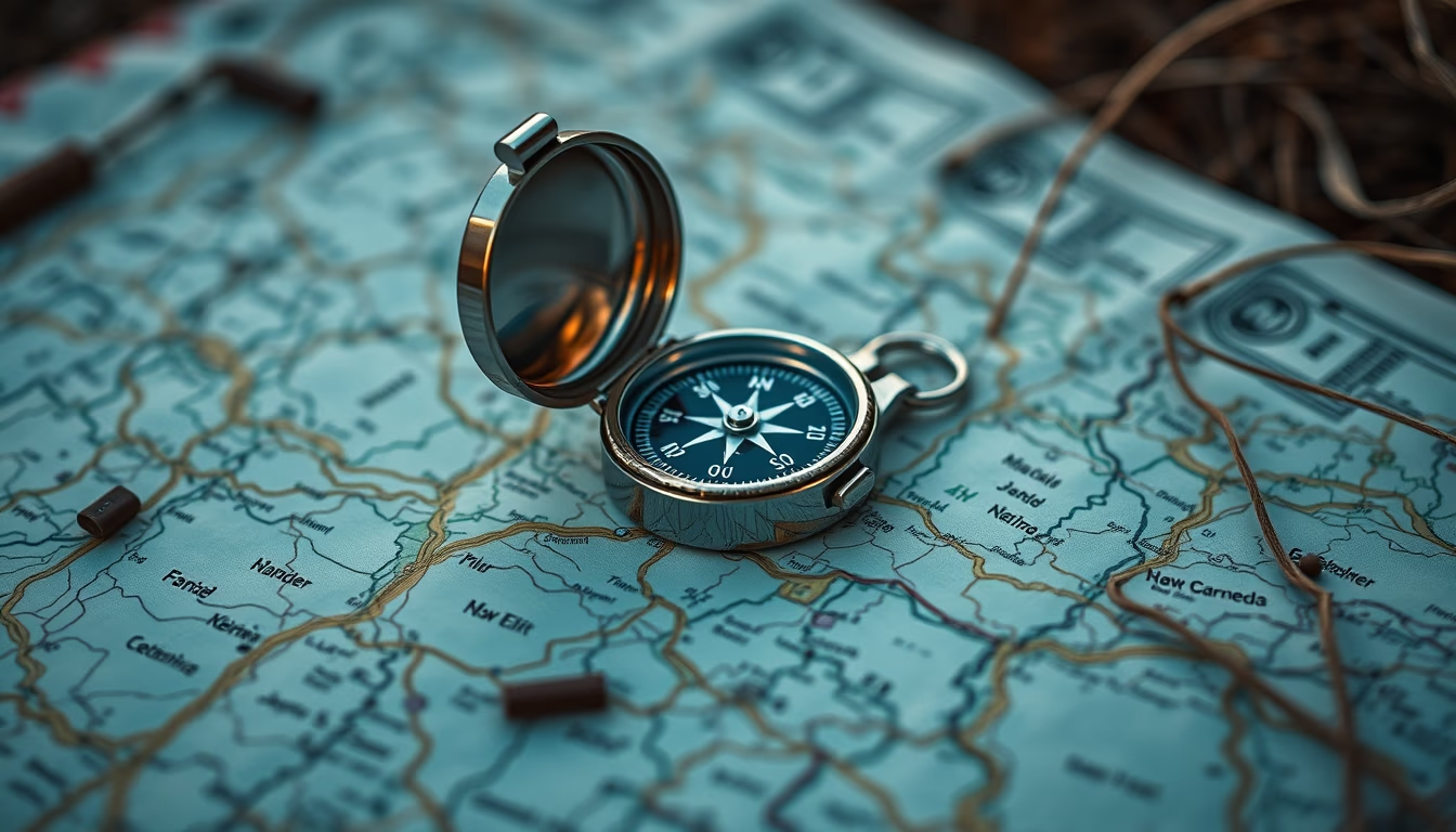
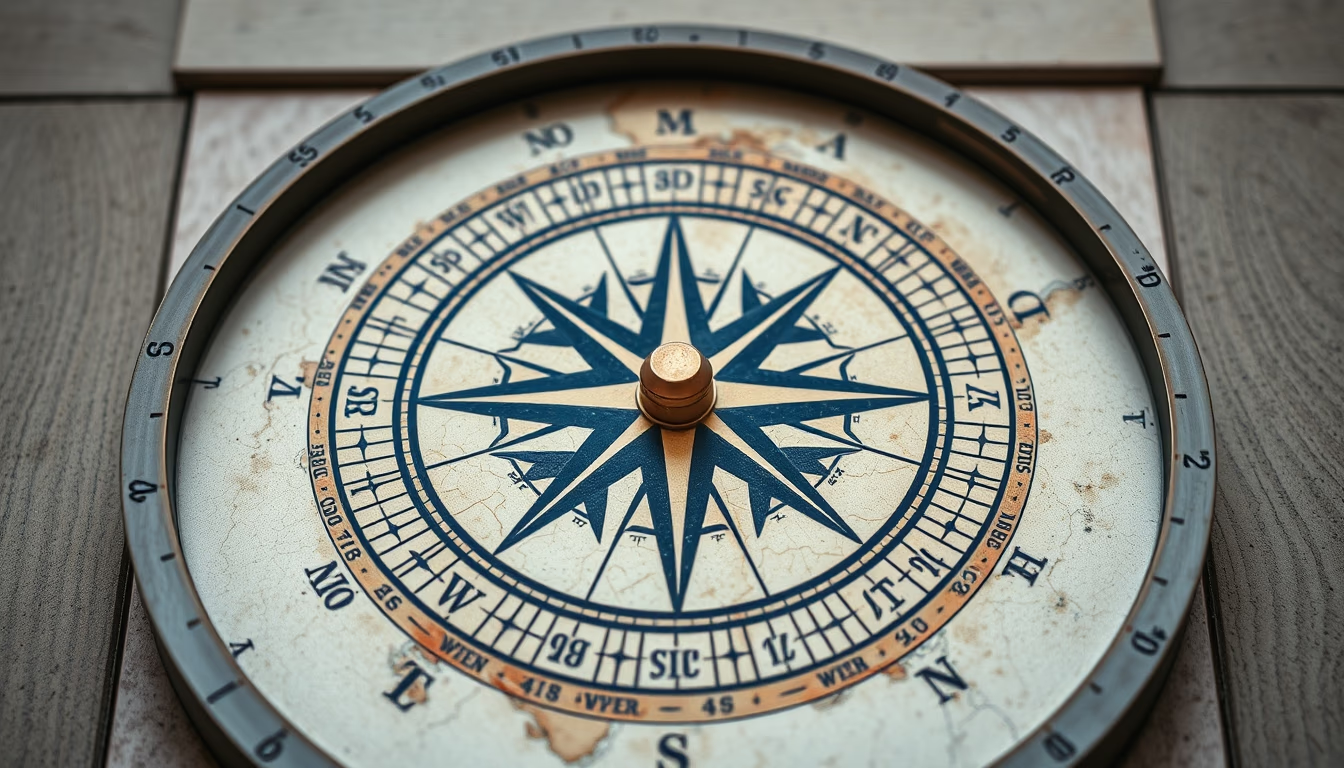
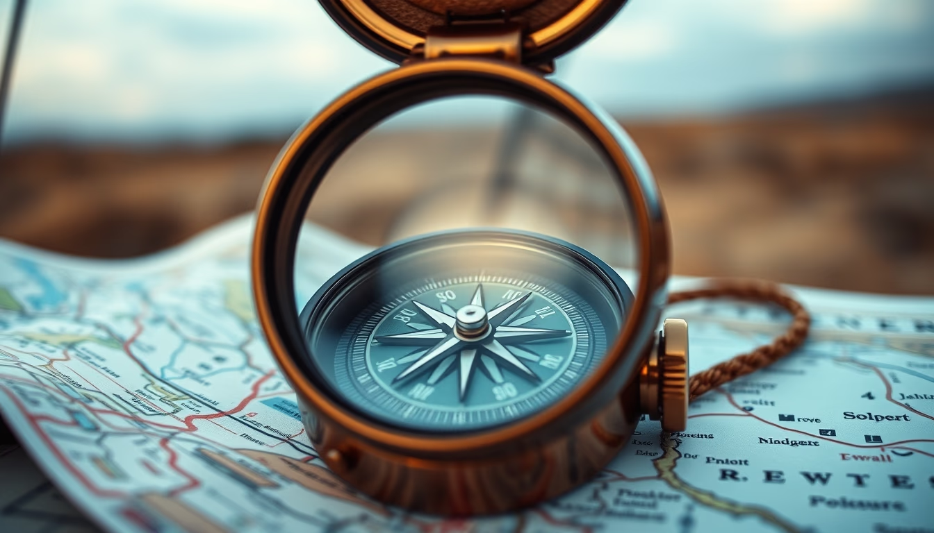
A compass on a map outdoors: an essential tool for land navigation, used by adventurers and professionals for precise orientation.
About this subject
The compass is one of the oldest and most reliable navigation instruments, with origins dating back to ancient China around the 2nd century BC. Originally used for spiritual orientation, it evolved into a practical tool for sailors and explorers. Today, in outdoor activities such as hiking and camping, the combination of compass and topographic map is essential for safe navigation, especially in areas without GPS signal.
The map graphically represents terrain, hydrography, and landmarks, while the magnetic compass indicates magnetic north. To use it correctly, the navigator must align the direction arrow of the compass with the map's north, adjusting for magnetic declination, the difference between magnetic north and true north. This technique, known as 'azimuth orientation,' allows precise route planning even in low-visibility conditions.
In Brazil, the culture of land navigation grows with the rise of ecotourism and adventure sports. National parks such as Chapada Diamantina and Itatiaia require visitors to know how to use a compass and map to avoid getting lost. Additionally, orientation courses are offered by mountaineering clubs, training practitioners to handle remote environments.
Interestingly, the compass also has military and survival applications. Techniques like 'triangulation' allow one to locate their current position using visible landmarks on the map. Although GPS has become popular, the compass remains indispensable as it does not depend on batteries or satellite signal, making it a mandatory item in emergency kits.
Frequently Asked Questions
What is the difference between magnetic north and true north?
Magnetic north is where the compass needle points, influenced by Earth's magnetic field. True north (geographic) is the planet's rotation axis. The difference between them is called magnetic declination and varies by location.
How to use a compass and map together?
Place the map on a flat surface and align the compass with the map's north. Rotate the map until the needle points north. Then, identify your destination on the map and draw a straight line. Use the compass to measure the angle (azimuth) and follow that direction on the ground.
Is it necessary to know how to use a compass even with GPS on a phone?
Yes, because phones can run out of battery or lose signal. The compass is a reliable low-tech instrument. In outdoor activities, it is advisable to have basic navigation skills with map and compass as a backup.
Direct URL
https://pub-c7d6a6ea828543ac903a74a341ccb2e1.r2.dev/imagens/compass-on-map-outdoor-fine-art-photography-p1.avifHow to credit
Include a visible link back to UtilizAí. Copy one of the snippets below:
<a href="https://xn--utiliza-eza.com/en/midia/imagens/compass-on-map-outdoor-fine-art-photography-p1">Compass on map outdoor</a> by <a href="https://xn--utiliza-eza.com">UtilizAí</a>, licensed under <a href="https://creativecommons.org/licenses/by/4.0/">CC BY 4.0</a>.
[Compass on map outdoor](https://xn--utiliza-eza.com/en/midia/imagens/compass-on-map-outdoor-fine-art-photography-p1) by [UtilizAí](https://xn--utiliza-eza.com), CC BY 4.0
License: CC-BY-4.0