Binoculars on map adventure
1344×768 · AVIF · CC BY 4.0
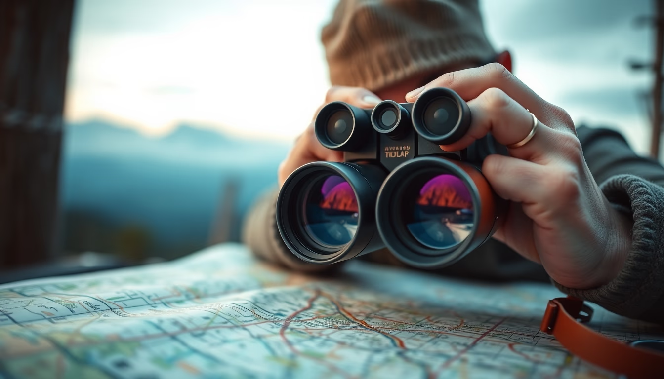
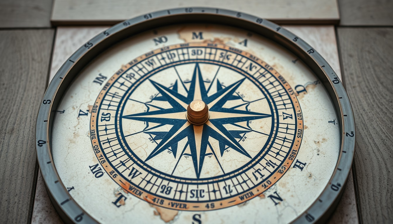
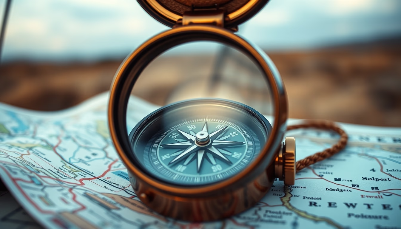
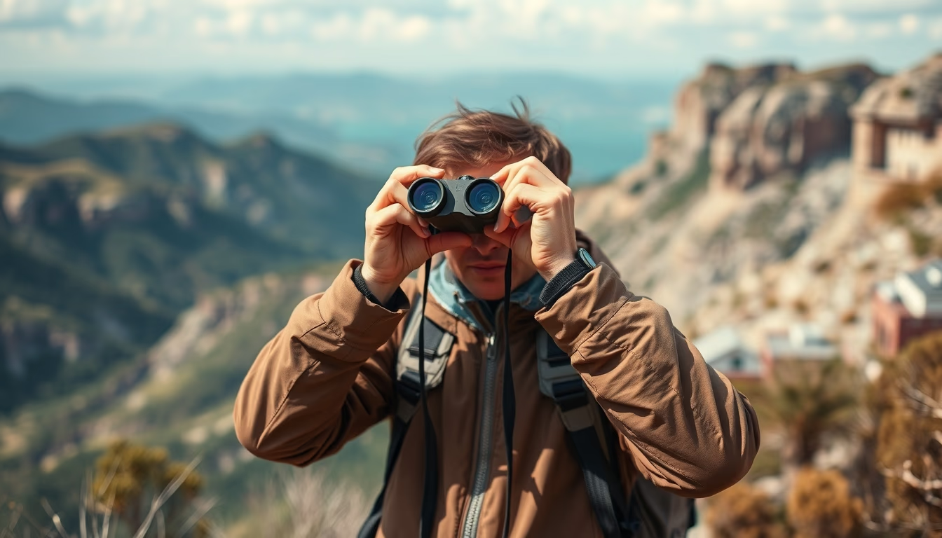
Binoculars on a map evoke the spirit of exploration and adventure, combining two essential tools for navigation and outdoor observation.
About this subject
Binoculars and maps are classic companions in outdoor expeditions, whether on trails, safaris, or maritime navigation. Binoculars enhance observation, allowing users to spot birds, landscapes, or landmarks at a distance. Maps provide spatial context and orientation, essential for planning routes and understanding terrain. The combination of these tools is common in activities such as birdwatching, mountaineering, and geocaching, where precise location and detailed observation complement each other.
Historically, modern binoculars evolved from 17th-century spyglasses, with advancements like Porro prisms and anti-reflective coatings in the 20th century. Current models offer magnifications of 8x to 10x, ideal for general use, and objective lenses of 25 to 42 mm to balance brightness and portability. Topographic maps, with contour lines and symbols, are indispensable for off-road navigation, while thematic maps aid in wildlife observation.
Interestingly, the practice of using binoculars with maps dates back to 19th-century explorers, such as naturalists cataloging species on expeditions. Today, digital GPS apps complement them, but physical maps are still valued for their reliability without batteries. For beginners, image-stabilized binoculars and waterproof maps are recommended for durability in the field. Adjusting interpupillary distance and central focus are basic steps to maximize the experience.
Frequently Asked Questions
What is the best binocular magnification for hiking?
For hiking, binoculars with 8x to 10x magnification are ideal: they offer a good balance between image stability and field of view. Objective lenses of 32 mm or 42 mm provide sufficient brightness in dense forests.
How to read a topographic map correctly?
Topographic maps use contour lines to represent elevation. Closer lines indicate steep slopes; farther lines, flat terrain. Symbols like triangles mark peaks, and blue lines represent watercourses. Always orient the map to magnetic north.
Can binoculars be used with glasses?
Yes, many models have adjustable eye relief that allows glasses to be worn without losing field of view. Look for binoculars with at least 15 mm of eye relief for comfort.
Direct URL
https://pub-c7d6a6ea828543ac903a74a341ccb2e1.r2.dev/imagens/binoculars-on-map-adventure-macro-closeup-p0.avifHow to credit
Include a visible link back to UtilizAí. Copy one of the snippets below:
<a href="https://xn--utiliza-eza.com/en/midia/imagens/binoculars-on-map-adventure-macro-closeup-p0">Binoculars on map adventure</a> by <a href="https://xn--utiliza-eza.com">UtilizAí</a>, licensed under <a href="https://creativecommons.org/licenses/by/4.0/">CC BY 4.0</a>.
[Binoculars on map adventure](https://xn--utiliza-eza.com/en/midia/imagens/binoculars-on-map-adventure-macro-closeup-p0) by [UtilizAí](https://xn--utiliza-eza.com), CC BY 4.0
License: CC-BY-4.0