Urban heat island map
1344×768 · AVIF · CC BY 4.0
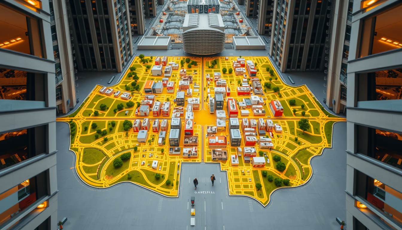
Urban heat island map shows thermal differences between urban cores and outskirts, with peaks in densely built areas.
About this subject
The urban heat island effect occurs when urban areas experience significantly higher temperatures than surrounding rural zones. This happens mainly due to the replacement of natural surfaces with materials like concrete and asphalt, which absorb and retain heat, and the reduction of green spaces that provide cooling through evapotranspiration. Maps of this effect show thermal gradients, with hot cores in commercial and industrial centers, and cooler patches in parks or tree-lined neighborhoods.
In Brazil, large metropolises such as São Paulo, Rio de Janeiro, and Belo Horizonte suffer intense heat islands. In São Paulo, the temperature difference between the center and peripheral areas can reach 10°C. Studies by INPE indicate that the combination of air pollution and heat islands worsens respiratory and cardiovascular problems, increasing mortality during heatwaves. Globally, cities like Tokyo, London, and New York also face this phenomenon.
Causes include high building density that blocks ventilation, soil sealing that reduces moisture, and heat emissions from vehicles and air conditioning systems. Urban climate is altered, creating microclimates that can harm quality of life. Such maps are used by urban planners and public managers to plan interventions like wind corridors and green roofs.
Effective solutions include green roofs, permeable pavements, tree planting, and linear parks. In Curitiba, for example, the tree-planting program reduced temperatures by up to 3°C in treated areas. Implementing green infrastructure policies is crucial to mitigate heat island effects and adapt cities to climate change.
Frequently Asked Questions
What causes the urban heat island effect?
The effect is caused by the replacement of natural surfaces with heat-absorbing materials like concrete and asphalt, reduction of green areas, heat emissions from vehicles and air conditioning, and high building density that blocks ventilation.
Which Brazilian cities suffer most from heat islands?
São Paulo, Rio de Janeiro, and Belo Horizonte are among the most affected. In São Paulo, temperature differences between the center and periphery can reach 10°C.
How can the impact of heat islands be reduced?
Solutions include green roofs, permeable pavements, tree planting, and linear parks. In Curitiba, urban tree planting reduced temperatures by up to 3°C.
Direct URL
https://pub-c7d6a6ea828543ac903a74a341ccb2e1.r2.dev/imagens/urban-heat-island-map-architectural-photography-fresh5.avifHow to credit
Include a visible link back to UtilizAí. Copy one of the snippets below:
<a href="https://xn--utiliza-eza.com/en/midia/imagens/urban-heat-island-map-architectural-photography-fresh5">Urban heat island map</a> by <a href="https://xn--utiliza-eza.com">UtilizAí</a>, licensed under <a href="https://creativecommons.org/licenses/by/4.0/">CC BY 4.0</a>.
[Urban heat island map](https://xn--utiliza-eza.com/en/midia/imagens/urban-heat-island-map-architectural-photography-fresh5) by [UtilizAí](https://xn--utiliza-eza.com), CC BY 4.0
License: CC-BY-4.0





