Satellite earth view atmosphere
1344×768 · AVIF · CC BY 4.0
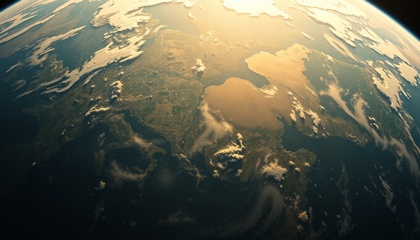
Satellite image of Earth's atmosphere with a lo-fi aesthetic, highlighting the gaseous layers that protect and sustain life on the planet.
About this subject
Earth's atmosphere is a layer of gases surrounding the planet, vital for life as we know it. Composed mainly of nitrogen (78%) and oxygen (21%), along with argon, water vapor, and carbon dioxide, it is divided into five main layers: troposphere, stratosphere, mesosphere, thermosphere, and exosphere. The troposphere, the lowest layer, contains 75% of the atmospheric mass and is where weather phenomena occur. The stratosphere houses the ozone layer, which filters harmful ultraviolet solar radiation.
Earth observation satellites, such as those from the GOES and Sentinel series, continuously monitor the atmosphere for weather forecasting, climate studies, and pollutant detection. They use multispectral sensors that capture radiation at different wavelengths, allowing visualization of clouds, aerosols, and even chemical composition. Images with a lo-fi aesthetic, like this one, evoke the first satellite photographic records from the 1960s and 1970s, when resolution was limited but scientific impact was immense.
The atmosphere extends about 480 km in altitude, but its density decreases exponentially. Interestingly, most of its mass is within the first 30 km. Phenomena such as the aurora borealis and australis occur in the thermosphere, where solar particles interact with Earth's magnetic field. The lo-fi aesthetic of this image may evoke analog photographs from old satellites or disposable cameras, creating a nostalgic contrast with modern space observation technology.
Frequently Asked Questions
Why is the atmosphere important for life on Earth?
The atmosphere provides oxygen for breathing, protects against harmful solar radiation, and maintains a stable average global temperature through the natural greenhouse effect. Without it, life as we know it would not exist.
How do satellites capture images of the atmosphere?
Satellites use remote sensors such as radiometers and spectrometers that measure radiation reflected or emitted by the atmosphere in different spectral bands. These data are processed to produce visible and invisible images beyond human eye capabilities.
What are the main layers of the atmosphere?
The five main layers are troposphere, stratosphere, mesosphere, thermosphere, and exosphere. Each has distinct temperature, pressure, and composition characteristics, influencing phenomena such as weather, auroras, and radio wave propagation.
Direct URL
https://pub-c7d6a6ea828543ac903a74a341ccb2e1.r2.dev/imagens/satellite-earth-view-atmosphere-lo-fi-disposable-camera-fresh11.avifHow to credit
Include a visible link back to UtilizAí. Copy one of the snippets below:
<a href="https://xn--utiliza-eza.com/en/midia/imagens/satellite-earth-view-atmosphere-lo-fi-disposable-camera-fresh11">Satellite earth view atmosphere</a> by <a href="https://xn--utiliza-eza.com">UtilizAí</a>, licensed under <a href="https://creativecommons.org/licenses/by/4.0/">CC BY 4.0</a>.
[Satellite earth view atmosphere](https://xn--utiliza-eza.com/en/midia/imagens/satellite-earth-view-atmosphere-lo-fi-disposable-camera-fresh11) by [UtilizAí](https://xn--utiliza-eza.com), CC BY 4.0
License: CC-BY-4.0





