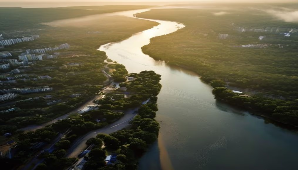
Norwegian fjord aerial view
1344×768 · AVIF · CC BY 4.0
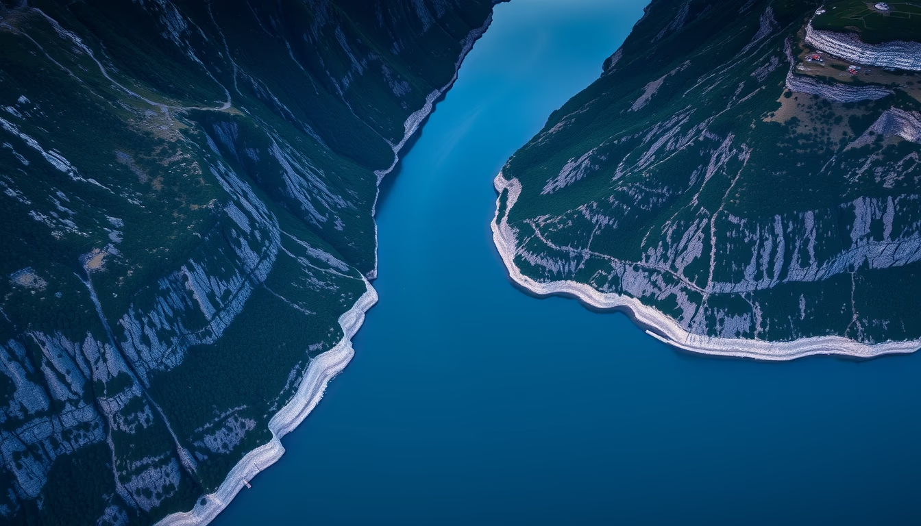
Norwegian fjords are one of the most impressive landscapes in the world.
About this subject
Fjords are long and deep inlets of the sea that cut through the Norwegian coast. They were formed millions of years ago, when the glacial sea advanced over the landscape in an era of ice extinction. The unique geology of Norway, with its mountains and valleys, allowed these inlets to form. Some of Norway's most famous fjords include the Nærøyfjord, the Geirangerfjord, and the Sognefjord. These landscapes were designated as World Heritage by UNESCO in 2005.
Frequently Asked Questions
What are fjords?
Fjords are long and deep inlets of the sea that cut through the Norwegian coast.
Why are Norwegian fjords important?
They are important for their natural beauty and their historical and cultural significance.
What are the main Norwegian fjords?
Some of Norway's most famous fjords include the Nærøyfjord, the Geirangerfjord, and the Sognefjord.
Direct URL
https://pub-c7d6a6ea828543ac903a74a341ccb2e1.r2.dev/imagens/norwegian-fjord-aerial-view-aerial-drone-shot-v4.avifHow to credit
Include a visible link back to UtilizAí. Copy one of the snippets below:
<a href="https://xn--utiliza-eza.com/en/midia/imagens/norwegian-fjord-aerial-view-aerial-drone-shot-v4">Norwegian fjord aerial view</a> by <a href="https://xn--utiliza-eza.com">UtilizAí</a>, licensed under <a href="https://creativecommons.org/licenses/by/4.0/">CC BY 4.0</a>.
[Norwegian fjord aerial view](https://xn--utiliza-eza.com/en/midia/imagens/norwegian-fjord-aerial-view-aerial-drone-shot-v4) by [UtilizAí](https://xn--utiliza-eza.com), CC BY 4.0
License: CC-BY-4.0