Hurricane spiral satellite
1344×768 · AVIF · CC BY 4.0
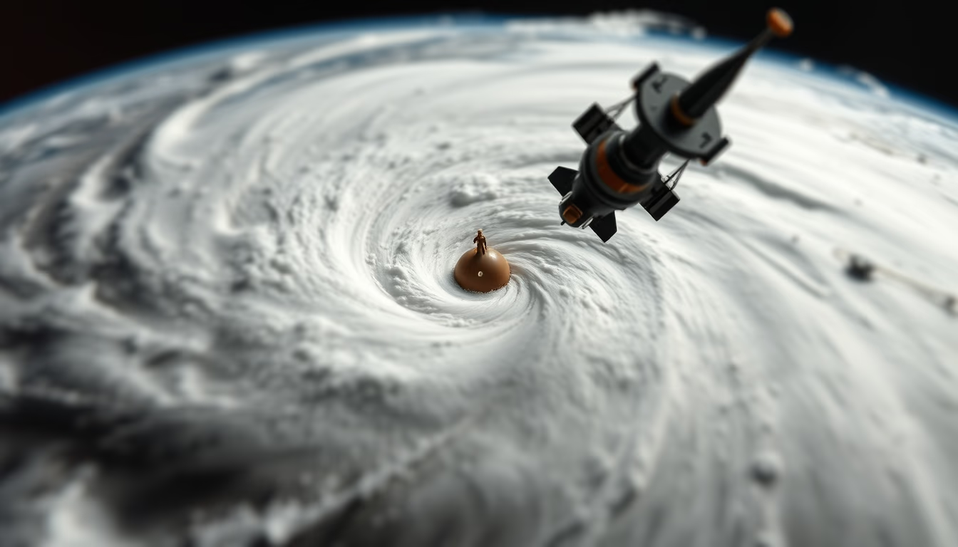
Hurricane spiral from space: how satellites track storms and the tilt-shift effect miniaturizes the phenomenon.
About this subject
Hurricanes are tropical cyclones that form over ocean waters warmer than 26°C, fueled by intense evaporation. Earth's rotation, through the Coriolis effect, imparts a characteristic spiral motion: in the Northern Hemisphere they spin counterclockwise; in the Southern, clockwise. Satellite images, such as those captured by NOAA's GOES-16, reveal this structure with precision, highlighting the calm eye surrounded by the eyewall where winds are most violent.
The tilt-shift effect, originally a photographic technique using special lenses that selectively blur parts of the scene, has been digitally applied to this satellite image. It creates the illusion that the hurricane is a miniature model, contrasting the real scale of hundreds of kilometers with the perception of a toy. This technique is often used to make impressive natural phenomena visually accessible to the public.
Weather satellites play a crucial role in monitoring and forecasting hurricanes. They orbit Earth at about 36,000 km altitude in geostationary orbit, tracking the storm's evolution in real time. Infrared sensors measure cloud-top temperatures, indicating the intensity of convective currents. Satellite data allow warnings to be issued days in advance, saving lives and reducing material damage.
The spiral image of a hurricane is one of the most recognizable icons of modern meteorology. Combining science and art, the application of tilt-shift transforms a scientific dataset into a visual piece that sparks curiosity and admiration for nature's power.
Frequently Asked Questions
How do satellites monitor hurricanes?
Geostationary satellites like GOES-16 provide continuous imagery of hurricane formation and track, using infrared and visible sensors to measure cloud temperature and winds.
What is the tilt-shift effect in images?
It is a photographic technique that blurs parts of the image to simulate a miniature scene, making the object appear like a small-scale model.
Why is observing hurricanes from space important?
It allows forecasting their intensity and track in advance, helping to issue warnings and evacuations to protect lives and property.
Direct URL
https://pub-c7d6a6ea828543ac903a74a341ccb2e1.r2.dev/imagens/hurricane-spiral-satellite-tilt-shift-miniature-fresh15.avifHow to credit
Include a visible link back to UtilizAí. Copy one of the snippets below:
<a href="https://xn--utiliza-eza.com/en/midia/imagens/hurricane-spiral-satellite-tilt-shift-miniature-fresh15">Hurricane spiral satellite</a> by <a href="https://xn--utiliza-eza.com">UtilizAí</a>, licensed under <a href="https://creativecommons.org/licenses/by/4.0/">CC BY 4.0</a>.
[Hurricane spiral satellite](https://xn--utiliza-eza.com/en/midia/imagens/hurricane-spiral-satellite-tilt-shift-miniature-fresh15) by [UtilizAí](https://xn--utiliza-eza.com), CC BY 4.0
License: CC-BY-4.0





