Hurricane spiral satellite
1344×768 · AVIF · CC BY 4.0
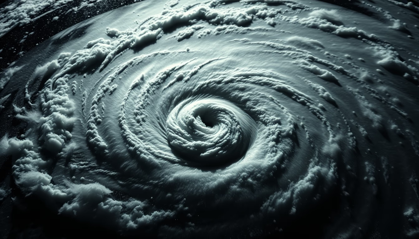
Hurricanes form gigantic spirals visible from space, monitored by weather satellites that save lives.
About this subject
Hurricanes, also called tropical cyclones or typhoons, are low-pressure systems that organize into a characteristic spiral structure with a calm central eye surrounded by towering eyewall clouds. This spiral results from Earth's rotation (Coriolis effect) and the release of latent heat from condensation over warm ocean waters, typically above 26.5 °C (80 °F). A well-defined spiral indicates a mature and intense system.
Weather satellites such as the GOES series (USA), Himawari (Japan), and Meteosat (Europe) capture real-time images of these spirals. Geostationary orbit enables continuous monitoring of hurricane evolution, while polar-orbiting satellites like Suomi NPP provide high-resolution data. Dramatic lighting and shadows on cloud tops, reminiscent of Rembrandt lighting with side illumination, enhance the three-dimensional structure, helping estimate cloud height and system intensity.
The deadliest hurricane in history was the Great Hurricane of 1780 in the Caribbean, with about 22,000 deaths. In modern times, Hurricane Katrina (2005) caused over 1,800 fatalities and $125 billion in damages in the US. Satellite observation revolutionized forecasting: today, early warnings drastically reduce loss of life, though property damage remains severe. Tropical cyclones are named from international lists updated annually.
An interesting fact: a hurricane's eye can range from 30 to 65 km (20, 40 miles) in diameter, but extreme storms like Typhoon Tip (1979) had an eye up to 370 km (230 miles). The strongest hurricane ever recorded, Patricia (2015), had maximum sustained winds of 345 km/h (215 mph) in the Eastern Pacific. Visible and infrared satellite imagery measures cloud-top temperatures, indicating cloud height and convective intensity.
Frequently Asked Questions
Why do hurricanes have a spiral shape?
The spiral results from Earth's rotation (Coriolis effect) deflecting winds converging toward the low-pressure center, creating a circular motion. The heat released by condensing clouds fuels convection, strengthening the spiral pattern.
How do satellites help predict hurricanes?
Geostationary satellites provide continuous images of the hurricane's position and evolution, while polar-orbiting satellites measure cloud-top temperatures, winds, and rainfall. This data feeds forecast models that guide warnings and evacuations.
What is the difference between a hurricane, cyclone, and typhoon?
They are the same meteorological phenomenon, but named differently by region: hurricane in the North Atlantic and Northeast Pacific, typhoon in the Northwest Pacific, and tropical cyclone in the Indian Ocean and South Pacific.
Direct URL
https://pub-c7d6a6ea828543ac903a74a341ccb2e1.r2.dev/imagens/hurricane-spiral-satellite-rembrandt-lighting-dramatic-shadows-fresh16.avifHow to credit
Include a visible link back to UtilizAí. Copy one of the snippets below:
<a href="https://xn--utiliza-eza.com/en/midia/imagens/hurricane-spiral-satellite-rembrandt-lighting-dramatic-shadows-fresh16">Hurricane spiral satellite</a> by <a href="https://xn--utiliza-eza.com">UtilizAí</a>, licensed under <a href="https://creativecommons.org/licenses/by/4.0/">CC BY 4.0</a>.
[Hurricane spiral satellite](https://xn--utiliza-eza.com/en/midia/imagens/hurricane-spiral-satellite-rembrandt-lighting-dramatic-shadows-fresh16) by [UtilizAí](https://xn--utiliza-eza.com), CC BY 4.0
License: CC-BY-4.0





